State Route 263 (SR 263, also known as Devils Canyon Road) is a 9.24-mile (14.87 km) long state highway in the U.S. state of Washington, serving rural Franklin County and the Lower Monumental Dam. The highway begins at the Port of Windust on the Snake River and travels east to the Lower Monumental Dam and north to SR 260 in Kahlotus, paralleling the Columbia Plateau Trail. Devils Canyon carried traffic on the Spokane, Portland and Seattle Railway in the early 20th century before the completion of a road serving the Lower Monumental Dam in 1961. The Devils Canyon Road was paved and signed as SR 263 in 1991 and the railroad became the Columbia Plateau Trail the same year.
State Route 263 | ||||
|---|---|---|---|---|
| Devils Canyon Road | ||||
 SR 263 is highlighted in red. | ||||
| Route information | ||||
| Auxiliary route of SR 26 | ||||
| Maintained by WSDOT | ||||
| Length | 9.24 mi[1] (14.87 km) | |||
| Existed | 1991[2]–present | |||
| Major junctions | ||||
| South end | Port of Windust | |||
| North end | ||||
| Location | ||||
| Country | United States | |||
| State | Washington | |||
| Counties | Franklin | |||
| Highway system | ||||
| ||||

Route description edit

SR 263 begins at the Port of Windust along the northern shores of the Snake River in rural Franklin County. The highway travels east past Windust Park along hills to the northwest and the riverbank on the southeast banks, part of Burr Canyon. At the Lower Monumental Dam, the roadway turns north into the narrow Devils Canyon and follows the Columbia Plateau Trail.[3] The highway enters Kahlotus and becomes Spokane Street before ending at SR 260.[4]
Every year the Washington State Department of Transportation (WSDOT) conducts a series of surveys on its highways in the state to measure traffic volume. This is expressed in terms of annual average daily traffic (AADT), which is a measure of traffic volume for any average day of the year. In 2011, WSDOT calculated that between 70 and 290 vehicles per day used the highway, a decrease from previous years.[5]
History edit
Devils Canyon was originally home to the Portland–Spokane line of the Spokane, Portland and Seattle Railway, completed in 1908 with a small tunnel near the north bank of the Snake River.[6][7][8] The United States Army Corps of Engineers built an improved Devils Canyon Road to connect Kahlotus to a grain facility owned by the newly established Port of Kahlotus in 1961.[9][10] The Lower Monumental Dam on the Snake River was completed in February 1969 and opened in May of the same year at the south end of Devils Canyon.[11][12] The rail line fell into disuse by 1987 and the right-of-way was acquired by the Washington State Park System in 1991 to become the Columbia Plateau Trail.[13]
A state legislative committee received proposals to add the Windust–Kahlotus road to the state highway system in 1986.[14] The road was designated as State Route 263 (SR 263) in 1991 and signed into law on April 1, 1992 to serve the Port of Kahlotus, now the Port of Windust, and connect to the existing SR 260 in Kahlotus.[2] No major revisions have occurred since the signing of the highway in 1961,[15] however a landslide in July 2012 closed the highway for two days as Washington State Department of Transportation crews cleared up to 4,500 cubic yards (3,440 m3) of debris and repaired damaged asphalt.[16][17]
Major intersections edit
The entire highway is in Franklin County.
| Location | mi[1] | km | Destinations | Notes | |
|---|---|---|---|---|---|
| Windust | 0.00 | 0.00 | Port of Windust | Southern terminus | |
| Kahlotus | 9.24 | 14.87 | Northern terminus | ||
| 1.000 mi = 1.609 km; 1.000 km = 0.621 mi | |||||
References edit
- ^ a b Strategic Planning Division (March 5, 2012). State Highway Log Planning Report 2011, SR 2 to SR 971 (PDF) (Report). Washington State Department of Transportation. pp. 1299–1300. Retrieved January 13, 2013.
- ^ a b "47.17.482: State route No. 263". Revised Code of Washington. Washington State Legislature. 1991. Retrieved January 13, 2013.
- ^ Columbia Plateau Trail State Park South (PDF) (Map). Washington State Parks. Retrieved January 13, 2013.
- ^ Google (January 3, 2011). "State Route 263" (Map). Google Maps. Google. Retrieved January 3, 2011.
- ^ Staff (2011). "2011 Annual Traffic Report" (PDF). Washington State Department of Transportation. p. 164. Retrieved January 13, 2013.
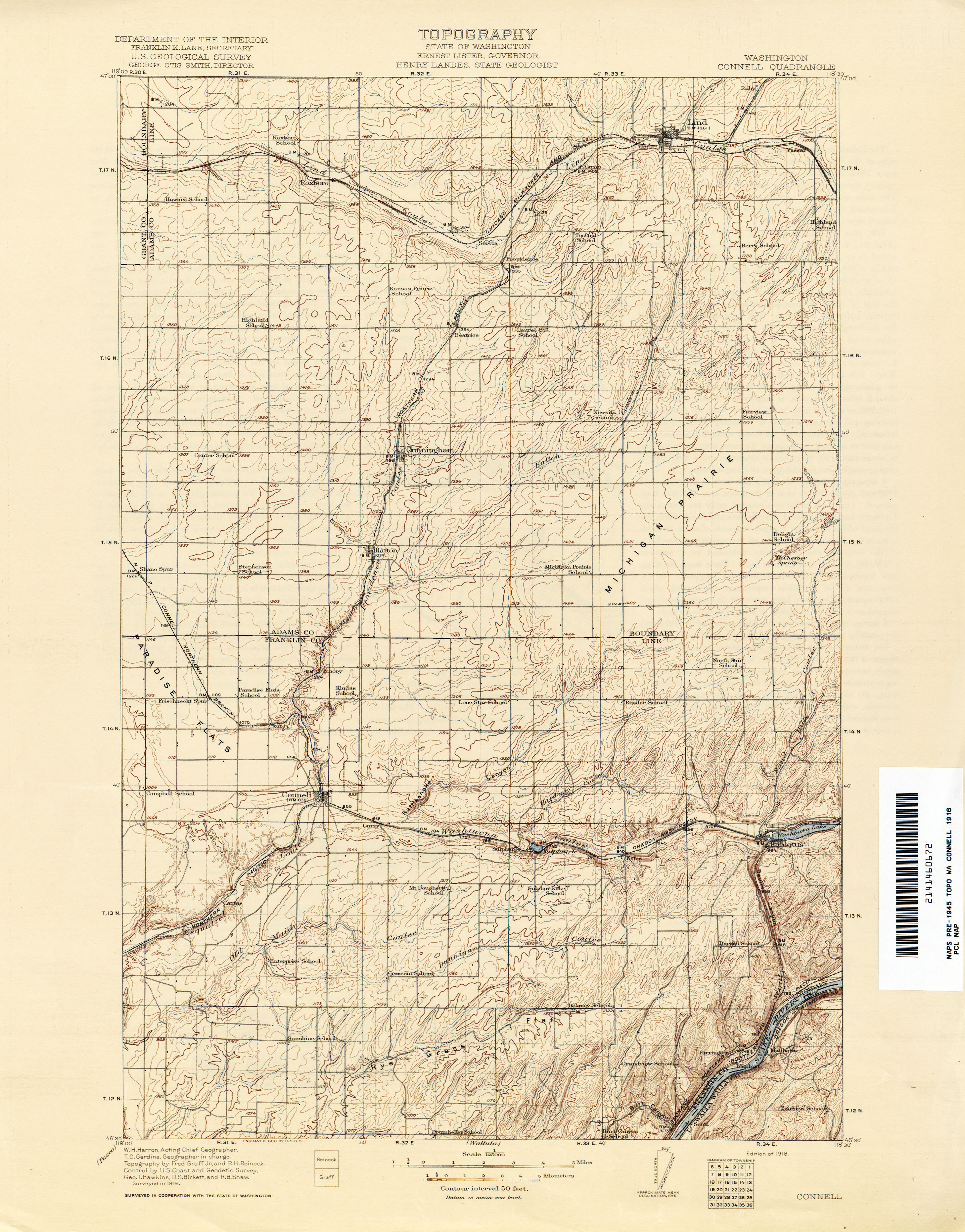
- ^ Washington: Connell Quadrangle, 1916 (JPG) (Map). 1:250,000. United States Geological Survey. 1916. Retrieved January 13, 2013.
- ^ "BNSF's Predecessors - The SP&S: It Became "The Northwest's Own Railway"" (PDF). The History of BNSF: A Legacy for the 21st Century. BNSF Railway. 1999. pp. 27–29. Retrieved January 13, 2013.
- ^ Craker, Craig (March 5, 2012). "Stop and smell the tunnel". Tri-City Herald. Retrieved January 13, 2013.
- ^ Dougherty, Phil (February 26, 2011). "Port of Kahlotus is established on January 24, 1961". HistoryLink. Retrieved January 13, 2013.
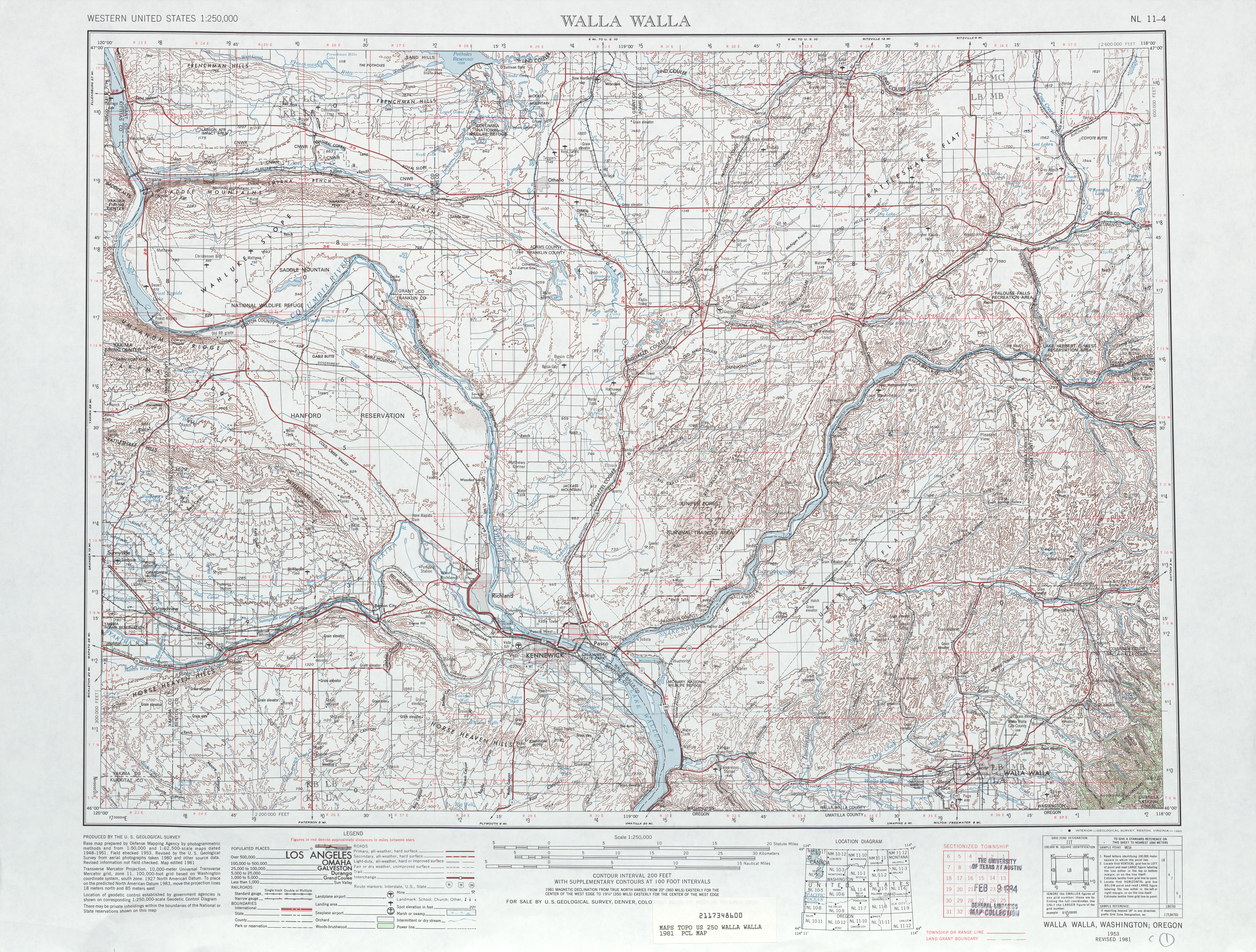
- ^ Walla Walla, 1981 (JPG) (Map). 1:250,000. United States Geological Survey. 1981. Retrieved January 13, 2013.
- ^ Dougherty, Phil (December 7, 2006). "Initial phase of building Lower Monumental Dam on the Snake River is completed on February 21, 1969". HistoryLink. Retrieved January 13, 2013.
- ^ "The Columbia River System: Inside Story" (PDF). Bonneville Power Administration. April 2001. pp. 14–15. Retrieved January 13, 2013.
- ^ "Interpretation and history at Columbia Plateau Trail". Washington State Parks. Retrieved January 13, 2013.
- ^ Woehler, Bob (September 19, 1986). "Add roads to highway system, legislators told". Tri-City Herald. pp. A1–A2. Retrieved December 20, 2023 – via Newspapers.com.
- ^ Washington State Highways, 2011–2012 (PDF) (Map). 1:842,000. Washington State Department of Transportation. 2011. Retrieved January 13, 2013.
- ^ Metcalf, Keith (July 2012). "Slide covers SR 263". Washington State Department of Transportation. Retrieved January 13, 2013.
- ^ Staff (July 19, 2012). "Highway near Kahlotus reopens after mudslide". Tri-City Herald. Retrieved January 13, 2013.