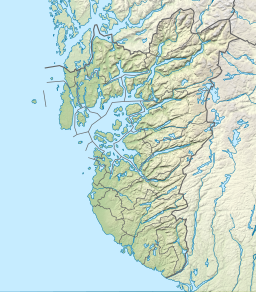
Vindafjorden (English: Vinde Fjord[1] or Vinda Fjord[2][3]) is a fjord in Rogaland county, Norway. The 30-kilometre (19 mi) long fjord is a northern branch off of the main Boknafjorden. The fjord marks the municipal boundaries between Vindafjord, Suldal, and Tysvær. The fjord initially runs from the very narrow Ropeid isthmus to the west and near the village of Vikadal, the fjord heads to the south before emptying into the Boknafjorden near the village of Nedstrand. There are two smaller fjords which branch off of the Vindafjorden. They are the Sandeidfjorden (to the north) and the Yrkjefjorden (to the west). The deepest part of the fjord reaches about 580 metres (1,900 ft) below sea level, just off the shore from Imsland Church.[4][5]
| Vindafjorden | |
|---|---|
 View of the fjord | |
| Location | Rogaland county, Norway |
| Coordinates | 59°27′40″N 6°01′29″E / 59.4612°N 6.0247°E |
| Primary outflows | Boknafjorden |
| Basin countries | Norway |
| Max. length | 30 kilometres (19 mi) |
| Max. depth | 580 metres (1,900 ft) |
See also
editReferences
edit- ^ Sailing Directions for the Southwest and South Coasts of Norway: Lindesnes to Bergen, Lindesnes to Oslo Fjord, and the Coast of Sweden to the Kattegat. Washington, DC: U.S. Government Printing Office. 1932. p. 99.
- ^ "Environmental Report" (PDF). Oslo: Norwegian Seafood Federation. 2013. p. 70.
- ^ Engevik, Asbjørn (2008). Bucket-Shaped Pots: Style, Chronology and Regional Diversity in Norway in the Late Roman and Migration Periods. Oxford: Archaeopress. p. 227.
- ^ Godal, Anne Marit (ed.). "Vindafjorden". Store norske leksikon (in Norwegian). Norsk nettleksikon. Retrieved 13 May 2013.
- ^ Evensen, Knut Harald, ed. (2010). NAF Veibok 2010-2012 (in Norwegian) (29th ed.). Oslo: Norges Automobil-Forbund. p. 24–25.

