Flavio Amico/Pont des Suicidés | |
|---|---|
 |
| Pont des Suicidés | |||||

| |||||
| Géographie | |||||
|---|---|---|---|---|---|
| Country | France | ||||
| Region | Île-de-France | ||||
| Department | Paris | ||||
| Municipality | Paris, 19th arrondissement | ||||
| Coordinates | 48° 52′ 49″ N, 2° 22′ 59″ E | ||||
| Purpouse | |||||
| Serves | Parc des Buttes-Chaumont lake | ||||
| Function | Pedestrian walkway | ||||
| Construction | |||||
| Construction | 1867 | ||||
Location on map: France
Location on map: Île-de-France
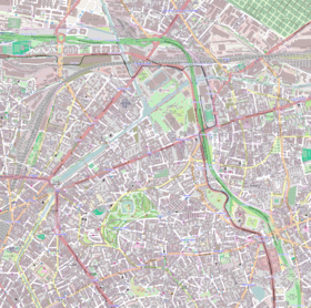
Location on map: Paris
Location on map: 19th arrondissement of Paris
| |||||
| modify | |||||
Catégorie:Article utilisant une Infobox Catégorie:Article géolocalisé sur Terre
The pont des Suicidés (English: Suicide Bridge) is a walkway crossing the lake of the Buttes-Chaumont park, in the 19th arrondissement of Paris in France.
Location
editThe walkway crosses the Buttes-Chaumont lake, linking its southern shore to the Île du Belvédère.
Description
editThe walkway is a stone bridge made of a single rounded arch. It stands on top of the lake at a height of 22 meters.
History
editBetween the end of the 19th century and the beginning of the 20th century, dozens of suicides happened at the bridge. This was frequently mentioned in the press, with certain newspapers even reffering to it as a "trend"[1].
Referenceses
edit- ^ Pierre Ancery (2018-06-27). "Le « pont des suicidés » des Buttes-Chaumont". RetroNews (in French). Retrieved 2020-08-25..
Catégorie:Catégorie Commons avec lien local identique sur Wikidata
[[Category:Suicides in France]] [[Category:Bridges completed in 1867]] [[Category:WikiProject Europe articles]] [[Category:WikiProject France articles]]


