| This is a documentation subpage for Template:Cite ADOT map. It may contain usage information, categories and other content that is not part of the original template page. |
This template creates standardized references to various official Arizona State Highway Maps available online published by the Arizona Department of Transportation and its predecessor, the Arizona State Highway Department.
Usage
edit{{Cite ADOT map |year= |accessdate=}}
Examples
edit{{Cite ADOT map |year= 1930 |accessdate= October 15, 2019}}
A. G. Taylor Printing Company (1930). Arizona Highway Department Condition Map of the State Highway System (Map). 1:1,267,200. Arizona State Highway Department. Retrieved October 15, 2019 – via AARoads.
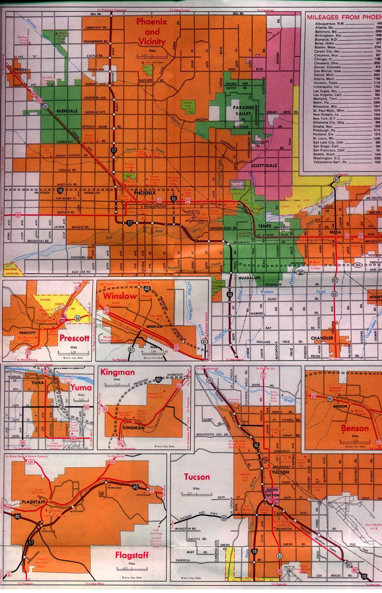
{{Cite ADOT map |year= 1971 |inset=Yuma |accessdate= October 15, 2019}}
Photogrammetry and Mapping Division (1971). State Highway Department Road Map of Arizona (Map). No scale given. Arizona State Highway Department. Yuma inset. Retrieved October 15, 2019 – via Arizona Roads.
Parameters
editThe following is a list of parameters for this template. Two are required in order to display the correct information for each State Highway System log.
- link: toggles the Publisher link. The default setting is "yes". Set to "no" to turn off the link. This parameter is optional.
- year: the year the map was created. Currently, there are maps available online from 1919, 1921, 1926 to 1932, 1934 to 1936, 1939 to 1943, 1946, 1958, 1961, 1963 and 1971.
- inset: for maps with city or national park detailed insets. Currently, only the 1961 and 1971 maps online have available insets. Use the name of the inset for the value of this parameter. For example,
inset=Yuma. - accessdate or access-date: the date the map was accessed.
- location: controls display settings for the location of publication. By default, this parameter is set to off. Set the value to "on" in order to display the location of publication. This is an optional parameter.
- section: denotes what section of the map a referenced feature is in if applicable. This parameter is optional.