| This article is rated Start-class on Wikipedia's content assessment scale. It is of interest to the following WikiProjects: | |||||||||||
| |||||||||||

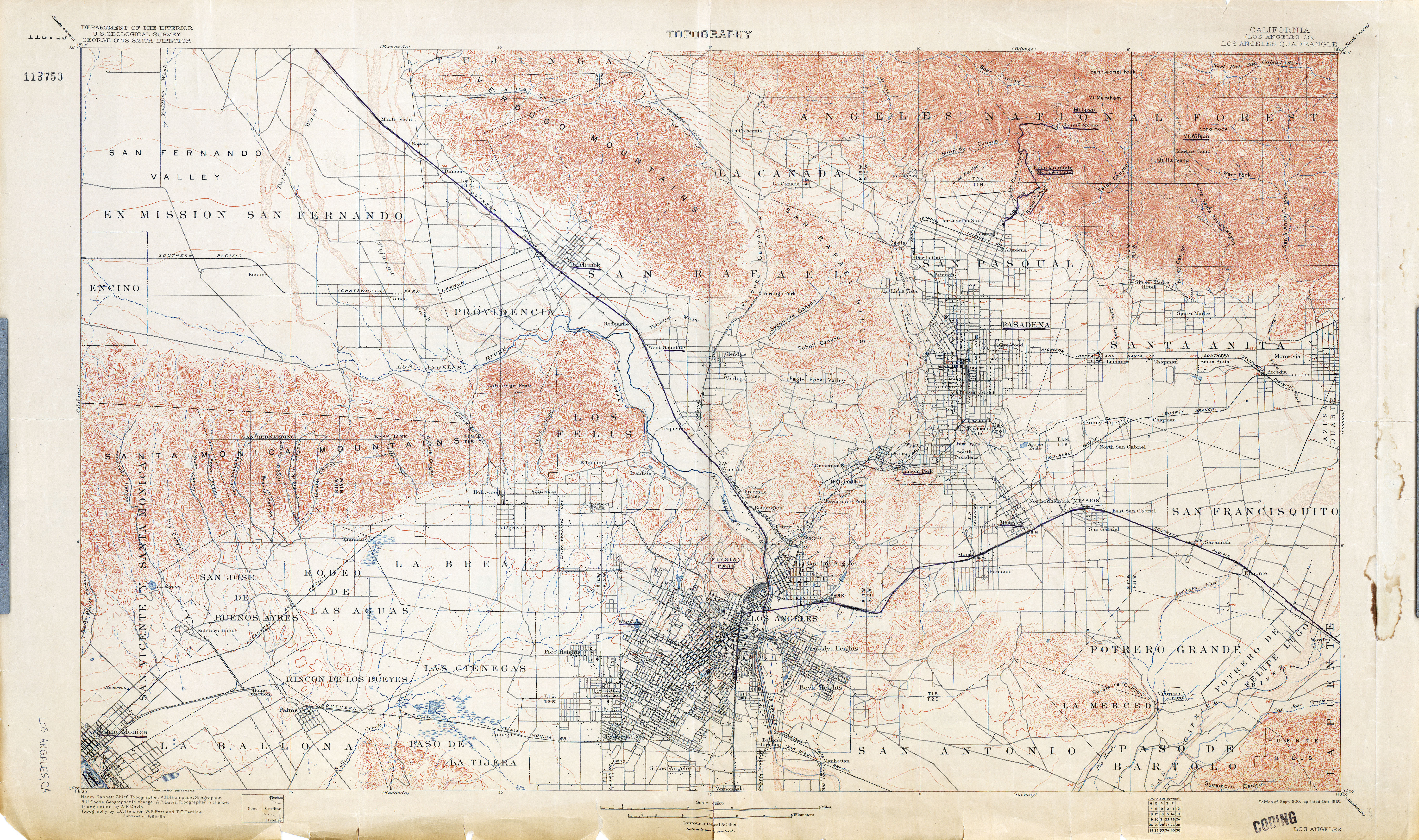
Dead link to USGS map
editThe link to the "1900 USGS Topo Map" is dead, but from looking at the file name and doing some Googling, I'm pretty sure it refers to this map: Los Angeles (Los Angeles County) 1894 1:62,500 (8.6MB) Mackerm (talk)