Talk:Prospect Hill (New South Wales)
| This article is rated Start-class on Wikipedia's content assessment scale. It is of interest to the following WikiProjects: | ||||||||||||||||||||
| ||||||||||||||||||||


Revisions of 1st June 2011
editI propose to undo the revisions made by 220.245.209.177 on 1 June 2011 for the following reasons:
The main revision (23:25h) puts forward a false explanation of the origin of the name Prospect Hill. It refers to a hill called "Tench's Prospect Hill." The only passage in the ref. which 220.245.209.177 could be referring to is the one about Tench’s Prospect Mount. This is a completely different hill some distance away (near the upper reaches of Little Cattai Creek) climbed by a party including Phillip and Tench, and named by Phillip, in 1791, a year after the name Prospect Hill had become established for the subject of this article.
Further revisions delete the most likely explanation of the origin of the name and add the phrase "while he was prospecting for the Hawkesbury River." This seems to be implying an alternative origin for the name Prospect Hill for which I know of no evidence. Tench's own account of his 1789 exploration does not use the word prospect (or prospecting). He describes the motivation behind that expedition as "a desire of acquiring a further knowledge of the country..." and actually reaches an unnnamed river (later named the Nepean) which was not then considered to be the Hawkesbury.
If there is no further response on this by 15 June 2011 I propose to undo the revisions.
Spathaky (talk) 18:46, 12 June 2011 (UTC)
I have now, rather belatedly, undone the revisions of 1 June 2011, as I said I would.Spathaky (talk) 00:26, 19 November 2011 (UTC)
I have reverted by 124.169.141.128 for similar reasons to the above. His edit attempts to perpetuate the myth that Belle View and Prospect Hill are the same, a version of history for which I have found (after much searching) no evidence in primary source. I am aware of course of Governor Phillip's account quoted by 124.169.141.128. For a more detailed discussion of this issue see http://www.spathaky.name/prospecthill/home/bellevue.htm Mike Spathaky (talk) 08:40, 18 July 2014 (UTC)
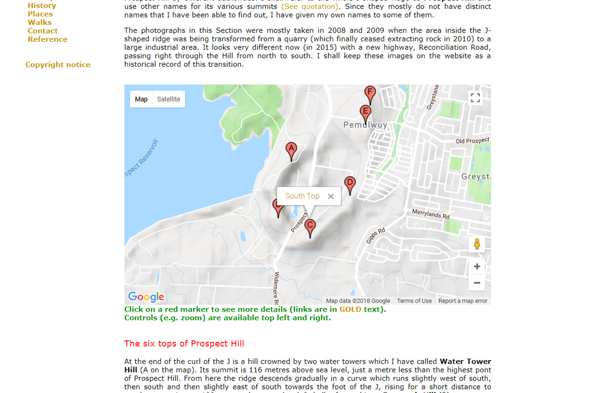
South Top
editI have reverted references to Prospect Hill Pine Forest as these have been given as an aternative name for the South Top. The name comes from Google maps where it clearly refers to the area of woodland on the SE slopes of the Prospect Hill ridge below the South Top. The ridge line actually runs along the NW edge of the woodland, although this is not clear on the Google map. A forest however is not a summit or top but an area of woodland or tree plantation.
The main photo alongside the lead paragraph does not show the South Top. I can supply a photo of the South Top if someone knows how to deal with the copyright issue. (They are my own photos.) The caption to that current image reads "A walking and cycling track in The South Top (Prospect Hill Pine Forest), which meanders around the southern summit (2018)." The walking/cycling track does not meander, at least not in the vicinity of the South Top. It follows a gentle, long curve all the way from ths crossing of the Prospect Highway to the side path linking to Silverthorne Drive. I admit there is a tighter single curve just after that link path as it turns to pass under Gipps Road but that's not relevant to the image. Mike Spathaky (talk) 09:37, 6 July 2018 (UTC)
- Hi Mike. I just thought Prospect Hill Pine Forest should at least have a nod in the article (if not in titular bold form) since Google Maps calls the region as such. It won't be problematic and users can easily make a link between South Top and Prospect Pine Forest, and think of them as the same places (in which they are), if they come from Google Maps for reference. True, a forest is not a summit. But the pine forest on South Top is still situated on Prospect's hill. It is fairly high from eye view and hardly on flat land. Again, whether it is a summit or not, I just think a distinguishable and specific alternative name, other than "South Top", would do it justice. Say, are there official sources that actually call it South Top though?
- Where exactly is the "South Top"? This image on your website illustrates that the South Top is located at the western end of this woody region. At least to me, it's clear that both are located on the southern part of the Hill, on the same formation, bordered by Hyland Road to the south and Prospect Highway to the west. As such, both are, in a way, on the "South Summit", no?
- Moreover, and most importantly, even the map on your page CLEARLY indicates that South Top sits right on the designated Pine Forest (link to "Description of Prospect Hill" for further reference). Am I missing something here? ~ Meganesia (talk) 01:44, 7 July 2018 (UTC)
A Commons file used on this page has been nominated for deletion
editThe following Wikimedia Commons file used on this page has been nominated for deletion:
Participate in the deletion discussion at the nomination page. —Community Tech bot (talk) 02:51, 9 January 2020 (UTC)