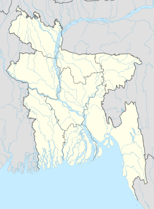
Ronipara is a village in Ruma Upazila of Bandarban District in the Chittagong Division of southeastern Bangladesh.[1] Its geographical location is: N22.16878° and E92.44309°. And the altitude is about 1,211 feet (369 m) from sea level.
Ronipara | |
|---|---|
| Coordinates: 22°9′N 92°27′E / 22.150°N 92.450°E | |
| Country | |
| Division | Chittagong Division |
| District | Bandarban District |
| Time zone | UTC+6 (Bangladesh Time) |
References
edit- ^ "NGA GeoNames Database". National Geospatial-Intelligence Agency. Retrieved 2021-05-05.
