Rollingstone is a rural town and coastal locality in the City of Townsville, Queensland, Australia.[2][3] In the 2021 census, the locality of Rollingstone had a population of 133 people.[1]
| Rollingstone Queensland | |||||||||||||||
|---|---|---|---|---|---|---|---|---|---|---|---|---|---|---|---|
 Swimming in Rollingstone Creek, 1986 | |||||||||||||||
 Rollingstone | |||||||||||||||
| Coordinates | 19°02′39″S 146°23′28″E / 19.0441°S 146.3911°E | ||||||||||||||
| Population | 133 (2021 census)[1] | ||||||||||||||
| • Density | 3.359/km2 (8.70/sq mi) | ||||||||||||||
| Postcode(s) | 4816 | ||||||||||||||
| Area | 39.6 km2 (15.3 sq mi) | ||||||||||||||
| Time zone | AEST (UTC+10:00) | ||||||||||||||
| LGA(s) | City of Townsville | ||||||||||||||
| State electorate(s) | Hinchinbrook | ||||||||||||||
| Federal division(s) | Kennedy | ||||||||||||||
| |||||||||||||||
Geography
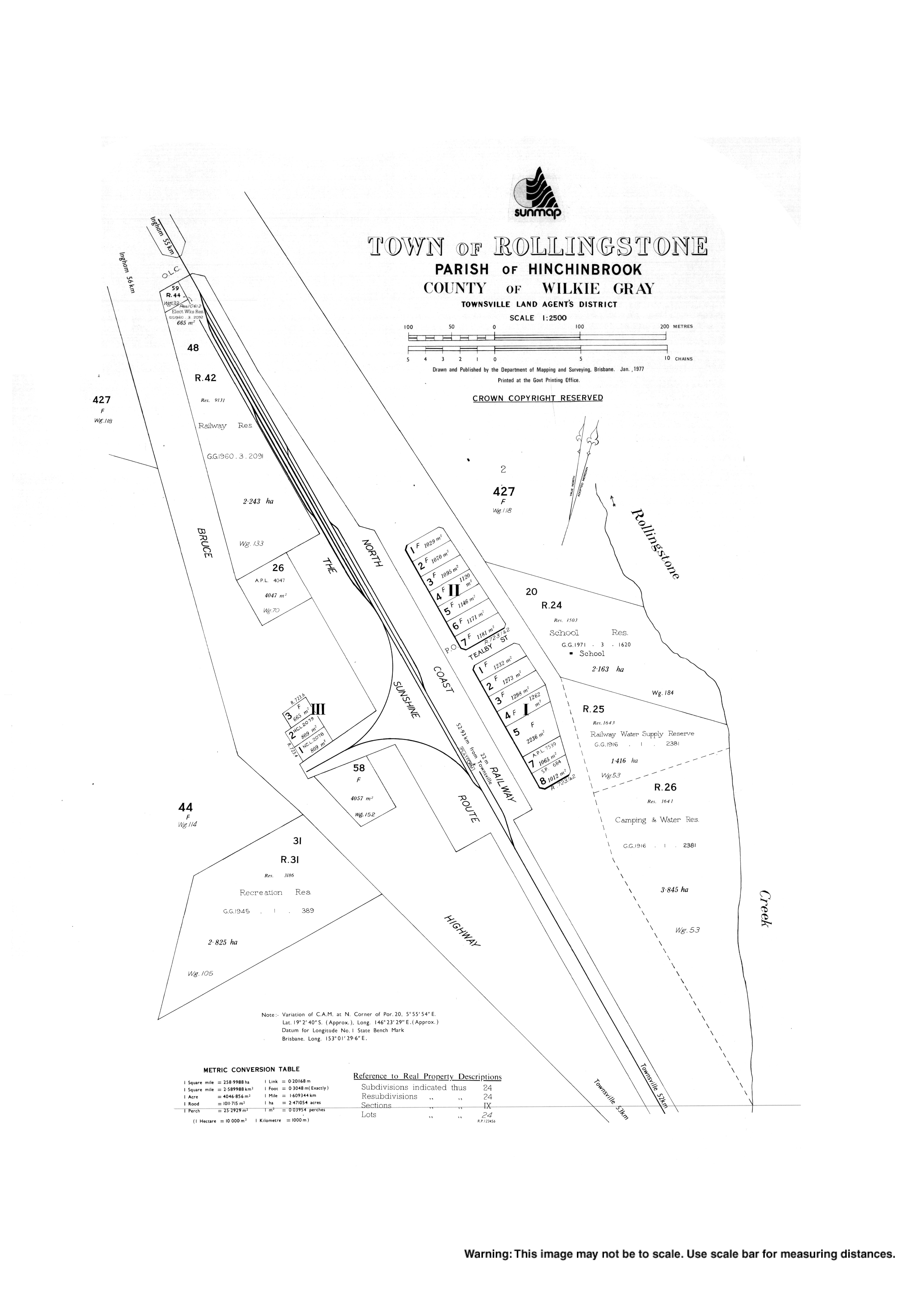
editRollingstone is a semi-rural/residential area approximately 54 kilometres (34 mi) north of Townsville, Queensland, Australia, and 57 kilometres (35 mi) south of Ingham, Queensland. The locality is roughly shaped like an hourglass with the town at the narrow centre area.[4]
Rollingston Creek flows to the south and east of the town and into the Coral Sea and forms, in part, the boundary between Rollingstone and neighbouring Balgal Beach.[4]
The Bruce Highway traverses Rollingstone from the south-east to the north, but deviates slightly to the south of the town.[4]
The North Coast railway line runs roughly parallel to the highway but to the north and passes through the town.[4] The locality was served by two railway stations:
- Kinduro railway station, in the north of the locality, now abandoned (19°00′59″S 146°22′02″E / 19.0165°S 146.3671°E)[5]
- Rollingstone railway station, serving the town (19°02′38″S 146°23′24″E / 19.0440°S 146.3901°E)[5]
Kinduro is a neighbourhood in the locality (19°01′00″S 146°22′00″E / 19.0166°S 146.3666°E) around the railway station of the same name. The name Kinduro is an Aboriginal word meaning clear water.[6]
History
editSettled in 1883 by John Lambert, the district was originally a pastoral lease known as Armidale, extending from Bluewater Creek in the south to Clerk Creek (later known as Ollera Creek) in the north.[7]
In 1906, the Armidale Hotel opened along the stagecoach route between Townsville and Ingham.[8]
Once the North Coast railway opened through the area in 1915, the Armidale railway station also served as a post office as the mail was delivered by train. However concern over possible confusion with Armidale in New South Wales resulted in the town and railway station being renamed Rollingstone after the creek, which is believed to be named for the round shape of the rocks found in the creek bed. The hotel was renamed the Rollingstone Hotel.[8][9][10][11]
Rollingstone State School officially opened on 4 September 1916 with 28 students on land donated by the hotel owners, John and Isabella Fitzpatrick.[8][12][13]
The opening of the railway opened up the beaches north of Townsville for recreational use. The beach near Rollingstone just south of the mouth of Rollingstone Creek was surveyed for a town in 1947 and named Balgal with town land allotments being sold in 1948 onwards (this area is now a separate suburb called Balgal Beach).[14][15][16]
Rollingstone and District Community Association was established in 1961 and operated a community hall was located on the Bruce Highway. In 1998, it was replaced by a new community centre built in Balgal Beach.[17]
Demographics
editIn the 2016 census, the locality of Rollingstone had a population of 125 people.[18]
In the 2021 census, the locality of Rollingstone had a population of 133 people.[1]
Education
editRollingstone State School is a government primary (Prep-6) school for boys and girls on Fred Williams Drive (19°02′37″S 146°23′29″E / 19.0437°S 146.3915°E).[19][20] In 2016, the school had an enrolment of 89 students with 6 teachers (5 full-time equivalent) and 5 non-teaching staff (4 full-time equivalent).[21] In 2018, the school had an enrolment of 65 students with 8 teachers (7 full-time equivalent) and 9 non-teaching staff (5 full-time equivalent).[22]
There are no secondary schools in Rollingstone. The nearest government secondary school is Northern Beaches State High School in Deeragun to the south-east.[4]
Facilities
editRollingstone Police Station is at 8 Rollingstone Street (19°02′34″S 146°23′24″E / 19.0429°S 146.3900°E).[23][24]
Amenities
editLocated alongside the Bruce Highway, facilities in Rollingstone include a service station, general store, hotel and caravan park.[25]
Despite the name, Rollingstone Community Centre is at 44 Community Crescent in neighbouring Balgal Beach (19°02′41″S 146°24′32″E / 19.0447°S 146.4090°E).[26][17] The Townsville City Council operate a mobile library service which visits the Community Centre every second Wednesday morning.[27]
Rollingstone is a popular location for recreational activities such as camping, picnicking and swimming at Rollingstone Park (als known as Bushy Park) on Rollingstone Road (19°02′45″S 146°23′34″E / 19.0459°S 146.3927°E) along Rollingstone Creek.[28]
Rollingstone Museum and Visitor Information Centre is in former Rollingstone railway station building, which has been relocated and restored[where?]. It is operated by the Rollingstone Historical Society.[17]
References
edit- ^ a b c Australian Bureau of Statistics (28 June 2022). "Rollingstone (SAL)". 2021 Census QuickStats. Retrieved 28 February 2023.
- ^ "Rollingstone – town in City of Townsville (entry 28955)". Queensland Place Names. Queensland Government. Retrieved 14 February 2022.
- ^ "Rollingstone – locality in City of Townsville (entry 49830)". Queensland Place Names. Queensland Government. Retrieved 14 February 2022.
- ^ a b c d e "Queensland Globe". State of Queensland. Retrieved 24 February 2022.
- ^ a b "Railway stations and sidings - Queensland". Queensland Open Data. Queensland Government. 2 October 2020. Archived from the original on 5 October 2020. Retrieved 5 October 2020.
- ^ "Kinduro – locality unbounded in City of Townsville (entry 39272)". Queensland Place Names. Queensland Government. Retrieved 14 February 2022.
- ^ Roads Out Of Townsville, North Queensland Archived 14 October 2012 at the Wayback Machine, accessed 1 November 2010.
- ^ a b c Walsh, Alison (14 October 2017). "Your Town: Rollingstone". The Courier-Mail.
- ^ Balgal Beach Archived 18 November 2010 at the Wayback Machine, accessed 1 November 2010.
- ^ "Hinchinbrook Fact File". Ingham Library. Archived from the original on 21 March 2012. Retrieved 21 March 2012.
- ^ "Townsville Community Profiles: Division 1" (PDF). Townsville City Council. March 2016. Archived (PDF) from the original on 15 October 2017. Retrieved 15 October 2017.
- ^ Queensland Family History Society (2010), Queensland schools past and present (Version 1.01 ed.), Queensland Family History Society, ISBN 978-1-921171-26-0
- ^ "Our school". Rollingstone State School. 4 March 2019. Archived from the original on 11 March 2021. Retrieved 24 February 2022.
- ^ "Balgal – town in City of Townsville (entry 1356)". Queensland Place Names. Queensland Government. Retrieved 15 October 2017.
- ^ "Balgal Beach". Queensland Places. Centre for the Government of Queensland, University of Queensland. Archived from the original on 14 October 2017. Retrieved 15 October 2017.
- ^ "Advertising". Townsville Daily Bulletin. Vol. LXIX. Queensland, Australia. 8 April 1948. p. 5. Retrieved 15 October 2017 – via National Library of Australia.
- ^ a b c "About us". The Rollingstone & District Community Association. Archived from the original on 24 February 2022. Retrieved 24 February 2022.
- ^ Australian Bureau of Statistics (27 June 2017). "Rollingstone (SSC)". 2016 Census QuickStats. Retrieved 20 October 2018.
- ^ "State and non-state school details". Queensland Government. 9 July 2018. Archived from the original on 21 November 2018. Retrieved 21 November 2018.
- ^ "Rollingstone State School". Rollingstone State School. 4 March 2019. Archived from the original on 1 April 2020. Retrieved 24 February 2022.
- ^ "Annual Report 2016" (PDF). Rollingstone State School. Archived (PDF) from the original on 15 October 2017. Retrieved 15 October 2017.
- ^ "ACARA School Profile 2018". Australian Curriculum, Assessment and Reporting Authority. Archived from the original on 27 August 2020. Retrieved 28 January 2020.
- ^ "Emergency services facilities - Queensland". Queensland Open Data. Queensland Government. 18 November 2020. Archived from the original on 24 November 2020. Retrieved 24 November 2020.
- ^ "Rollingstone Station". Queensland Police. Archived from the original on 9 April 2021. Retrieved 24 February 2022.
- ^ Thuringowa's Northern Beaches Archived 20 February 2011 at the Wayback Machine, accessed 1 November 2010.
- ^ "HOME | Rollingstone and District Community Association Inc". Rollingstone. Archived from the original on 24 February 2022. Retrieved 24 February 2022.
- ^ "Mobile Library Service" (PDF). Townsville City Council. Archived (PDF) from the original on 29 January 2018. Retrieved 29 January 2018.
- ^ "Rollingstone Park". Townsville North Queensland. Archived from the original on 18 April 2021. Retrieved 24 February 2022.
Further reading
edit- Vidonja Balanzategui, Bianka; Thuringowa (Qld.). Council; Queensland. Environmental Protection Agency (2003), Thirty-three miles to Rollingstone : a short history of Rollingstone and Balgal, City of Thuringowa, ISBN 978-0-9577305-7-1 — full text available online via the State Library of Queensland
- O'Connor, Jack (1984), In the bush at Rollingstone, J.A. O'Connor, ISBN 978-0-9591445-0-5
External links
edit![]() Media related to Rollingstone, Queensland at Wikimedia Commons
Media related to Rollingstone, Queensland at Wikimedia Commons