Preston is a rural locality in the Whitsunday Region, Queensland, Australia.[2] In the 2021 census, Preston had a population of 346 people.[3]
| Preston Queensland | |||||||||||||||
|---|---|---|---|---|---|---|---|---|---|---|---|---|---|---|---|
 Preston | |||||||||||||||
| Coordinates | 20°23′13″S 148°39′25″E / 20.3869°S 148.6569°E | ||||||||||||||
| Population | 346 (SAL 2021)[1] | ||||||||||||||
| Postcode(s) | 4800 | ||||||||||||||
| Area | 42.7 km2 (16.5 sq mi) | ||||||||||||||
| Time zone | AEST (UTC+10:00) | ||||||||||||||
| Location |
| ||||||||||||||
| LGA(s) | Whitsunday Region | ||||||||||||||
| State electorate(s) | Whitsunday | ||||||||||||||
| Federal division(s) | Dawson | ||||||||||||||
| |||||||||||||||
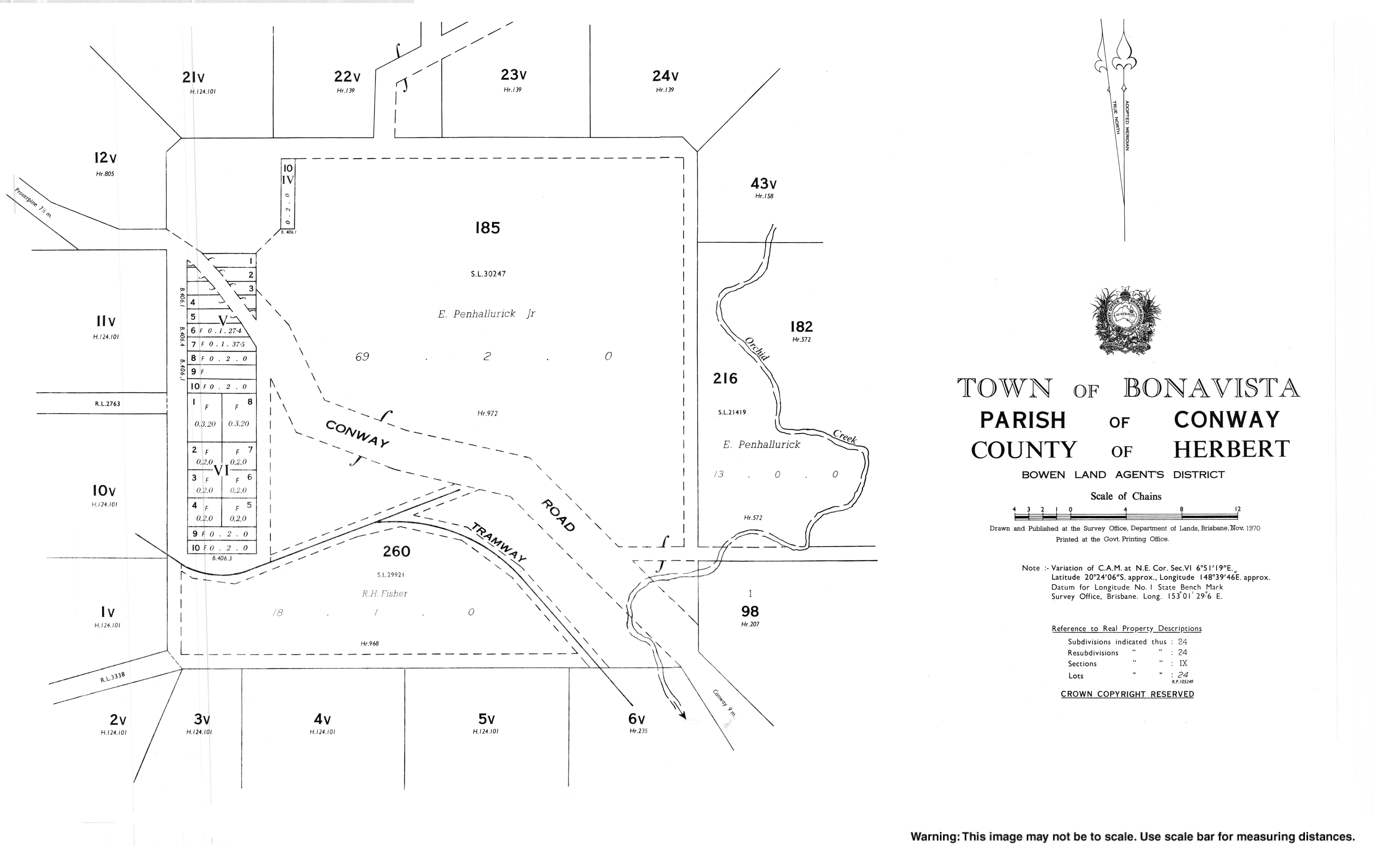
The town of Bonavista is within the south of the locality (20°22′55″S 148°39′04″E / 20.382°S 148.651°E).[4]
Geography edit
The locality is bounded to the west and south by the Proserpine River.[5]
The main road route through the locality is Conway Road which enters the locality from the north-west (Mount Julian / Mount Marlow), passes through the town of Bonavista, and then exits to the south-east (Conway / Palm Grove).[5]
The elevation ranges from 10 to 270 metres (33 to 886 ft). The lower-lying land is mostly in the west of the locality and is used for growing sugarcane. There is a cane tramway to transport the harvested sugarcane to the local sugar mill. The higher land are mostly used for grazing on native vegetation.[5]
History edit
The town of Bonavista was originally called Conway, which was derived from Cape Conway, which was named on 3 June 1770 by Lieutenant James Cook, commander of HMS Endeavour, after British Secretary of State for the Southern Department, Henry Seymour Conway. The town was renamed Bonavista from 3 January 1961.[4] However, the road to the town is still called Conway Road.[5]
Demographics edit
In the 2016 census, Preston had a population of 296 people.[6]
In the 2021 census, Preston had a population of 346 people.[3]
Education edit
There are no schools in Preston. The nearest government primary schools are Proserpine State School in Proserpine to the west and Cannonvale State School in Cannonvale to the north-east. The nearest government secondary school is Proserpine State High School, also in Proserpine.[7]
References edit
- ^ Australian Bureau of Statistics (28 June 2022). "Preston (Whitsunday - Qld) (suburb and locality)". Australian Census 2021 QuickStats. Retrieved 28 June 2022.
- ^ "Preston – locality in Whitsunday Region (entry 46894)". Queensland Place Names. Queensland Government. Retrieved 26 October 2019.
- ^ a b Australian Bureau of Statistics (28 June 2022). "Preston (SAL)". 2021 Census QuickStats. Retrieved 28 February 2023.
- ^ a b "Bonavista – populated place in the Whitsunday Region (entry 3531)". Queensland Place Names. Queensland Government. Retrieved 29 October 2019.
- ^ a b c d "Queensland Globe". State of Queensland. Retrieved 28 December 2023.
- ^ Australian Bureau of Statistics (27 June 2017). "Preston (SSC)". 2016 Census QuickStats. Retrieved 20 October 2018.
- ^ "Layers: Locality; Schools and school catchments". Queensland Globe. Queensland Government. Archived from the original on 19 December 2017. Retrieved 28 December 2023.
External links edit
- "Town map of Bonavista". Queensland Government. 1970. Archived from the original on 29 October 2019.