Ilfracombe /ˈɪlfrəkoʊm/ is a rural town and locality in the Longreach Region, Queensland, Australia.[2][3] In the 2016 census, the locality of Ilfracombe had a population of 259 people.[1]
| Ilfracombe Queensland | |||||||||||||||
|---|---|---|---|---|---|---|---|---|---|---|---|---|---|---|---|
 Town entry signs | |||||||||||||||
 Ilfracombe | |||||||||||||||
| Coordinates | 23°29′26″S 144°30′34″E / 23.4905°S 144.5094°E | ||||||||||||||
| Population | 259 (2016 census)[1] | ||||||||||||||
| • Density | 0.03940/km2 (0.10205/sq mi) | ||||||||||||||
| Established | 1891 | ||||||||||||||
| Postcode(s) | 4727 | ||||||||||||||
| Elevation | 214 m (702 ft) | ||||||||||||||
| Area | 6,573.3 km2 (2,538.0 sq mi) | ||||||||||||||
| Time zone | AEST (UTC+10:00) | ||||||||||||||
| Location |
| ||||||||||||||
| LGA(s) | Longreach Region | ||||||||||||||
| State electorate(s) | Gregory | ||||||||||||||
| Federal division(s) | Maranoa | ||||||||||||||
| |||||||||||||||
Ilfracombe calls itself The Hub of the West. The main industry is sheep rearing, mainly for wool.
Geography edit
Ilfracombe is situated on the Landsborough Highway, about 27 kilometres (17 mi) east of Longreach, 214 metres (702 ft) above sea level.[4]
Mount Rodney is in the north-east of the locality (23°01′37″S 144°50′54″E / 23.0269°S 144.8483°E). It was named in 1861 by Frederick Walker after Rodney, an Aboriginal member of Walker's expedition. It rises to 262 metres (860 ft).[5][6][7]
The Central Western railway line passes through the locality with a number of rail stops in the locality (from west to east):
- Ilfracombe railway station, serving the town (23°29′21″S 144°30′28″E / 23.4891°S 144.5078°E)[8]
- Dartmouth railway station, now abandoned (23°30′48″S 144°42′32″E / 23.5133°S 144.7089°E)[8]
- Deroora railway station (23°31′25″S 144°51′41″E / 23.5235°S 144.8614°E)[8]
History edit
Sheep stations were established in the area from 1864.[9]
The townsites of Ilfracombe and Longreach were amongst resumed portions of Wellshot Station.[10] In 1892, Wellshot was known as the biggest sheep station in the world, not because of the area it occupied but because of the number of sheep it ran; 460,000. [11][12] 40,000 two-year-old wethers were sold off from the property later the same year.[13]
The Central Western railway line reached Ilfracombe in 1891[14] and the Post Office opened on 7 December 1891.[15]
On 1 July 1892, the town was renamed from Wellshot was renamed Ilfracombe after the coastal town of Ilfracombe in North Devon, England.[2][11][16]
Ilfracombe Provisional School opened on 3 May 1893. On 28 June 1899 it became Ilfracombe State School.[17][18]
On 27 December 1902, part of the Aramac Division was excised to create a new local government area Ilfracombe Division, becoming Shire of Ilfracombe in 1903.[19][20] Ilfracombe was the seat of the division/shire. On 15 March 2008, the Shire of Ilfracombe merged with the Shires of Isisford and Longreach to form the Longreach Region.[20][21]
On Sunday 10 September 1905, the Sacred Heart Catholic Church was opened at 2 Main Street by Reverend Edward Carroll of Longreach. It was built by Mr Hegarty of Rockhampton from timber and was 49 by 20 feet (14.9 m × 6.1 m). It cost £207 and was open free of debt.[22][23][24] It was replaced in 1962 by a new church building, known as the Sacred Heart War Memorial Catholic Church.[25][26]
In April 1910, Isisford became the first town in Australia to be serviced by a motorised mail delivery from Ilfracombe, a journey of 90 kilometres (56 mi).[27]
The town was much larger in the past. It once had three hotels instead of the single hotel and two general stores as at 2012.[4]
In the 2016 census, the locality of Ilfracombe had a population of 259 people. 84.3% of people were born in Australia and 89.3% of people spoke only English at home. The most common response for religion was Anglican at 39.5%.[1]
A 1.9-metre (6 ft 3 in) metal sculpture of National Rugby League player Matt Scott, who grew up in Ilfracombe, was unveiled in the town on 24 September 2021.[28] It was created by scrap metal artist Milynda Rogers who was commissioned by the Ilfracombe District Progress Association with the aim of inspiring the region's youth while also giving the town a focus of pride.[28] Approximately 200 people attended the official unveiling.[28]
Heritage listings edit

Ilfracombe has a number of heritage-listed sites, including:
- former Beaconsfield Station Sheep Wash, Beaconsfield Station (23°19′31″S 144°32′57″E / 23.3252°S 144.5493°E)[29]
- Langenbaker House, Mitchell Street (23°29′30″S 144°30′31″E / 23.4918°S 144.5087°E)[30]
Education edit

Ilfracombe State School is a government primary (Prep-6) school for boys and girls at 20 McMaster Drive (23°29′20″S 144°30′17″E / 23.4890°S 144.5046°E).[31][32] In 2018, the school had an enrolment of 10 students with 2 teachers (1 full-time equivalent) and 5 non-teaching staff (3 full-time equivalent).[33] It is organised into multi-age classes.[34]
There is no secondary school in Ilfracombe. The nearest secondary schools are Longreach State High School in neighbouring Longreach to west and Barcaldine State High School in neighbouring Barcaldine to the east. As some parts of the locality of Ilfracombe are a long distance by road from these schools, other options are distance education and boarding schools.[35]
Amenities edit
Ilfracombe Post Office is at 20 Main Avenue.[36] The Longreach Regional Council operates a public library at the post office using the Rural Libraries Queensland service.[37][38] The library offers public access to Wi-Fi.[39]
The Sacred Heart War Memorial Catholic Church is at 2 Main Street (Landsborough Highway, 23°29′25″S 144°30′36″E / 23.49035°S 144.50991°E).[26][40]
Other attractions and facilities in the town include swimming pool, a 14-hole golf course, racecourse and caravan park.[4]
Attractions edit

The Great Machinery Mile is an open-air display of a range of antique agricultural machinery from the local area spread alongside the Landsborough Highway within the town (23°29′19″S 144°30′21″E / 23.4887°S 144.5057°E). It is part of the Ilfracombe Machinery and Heritage Museum.[41]
Guided tours are available of the heritage-listed Langenbacker House in Mitchell Street (23°29′30″S 144°30′31″E / 23.4918°S 144.5087°E).[42]
Notable people edit
Notable people from the area include:
- Quentin Bryce, Governor of Queensland and Governor-General of Australia[43]
- Matthew Scott, rugby league player
- Paul Wilson (meditation teacher), author of the international best selling The Little Book of Calm and the Calm series of books[44]
References edit
- ^ a b c Australian Bureau of Statistics (27 June 2017). "Ilfracombe (SSC)". 2016 Census QuickStats. Retrieved 20 October 2018.
 Material was copied from this source, which is available under a Creative Commons Attribution 4.0 International License Archived 16 October 2017 at the Wayback Machine.
- ^ a b "Ilfracombe – town in Longreach Region (entry 16618)". Queensland Place Names. Queensland Government. Retrieved 20 July 2021.
- ^ "Ilfracombe – locality in Longreach Region (entry 50309)". Queensland Place Names. Queensland Government. Retrieved 20 July 2021.
- ^ a b c "Ilfracombe". Sydney Morning Herald. 8 February 2004. Archived from the original on 8 November 2012. Retrieved 21 September 2011.
- ^ "Mountain peaks and capes - Queensland". Queensland Open Data. Queensland Government. 12 November 2020. Archived from the original on 25 November 2020. Retrieved 25 November 2020.
- ^ "Mount Rodney – mountain in Longreach Region (entry 28930)". Queensland Place Names. Queensland Government. Retrieved 25 November 2020.
- ^ "Mount Rodney – mountain in Longreach Regional (entry 28930)". Queensland Place Names. Queensland Government. Retrieved 20 July 2021.
- ^ a b c "Railway stations and sidings - Queensland". Queensland Open Data. Queensland Government. 2 October 2020. Archived from the original on 5 October 2020. Retrieved 5 October 2020.
- ^ "Langenbaker House (entry 601088)". Queensland Heritage Register. Queensland Heritage Council. Retrieved 13 July 2015.
- ^ "Wellshot Station". The Capricornian. Rockhampton, Queensland: National Library of Australia. 24 September 1898. p. 20. Archived from the original on 19 December 2021. Retrieved 25 February 2013.
- ^ a b "Ilfracombe". Queensland Holidays. Tourism Queensland. Archived from the original on 22 March 2012. Retrieved 21 September 2011.
{{cite web}}: CS1 maint: unfit URL (link) - ^ "Ilfracombe". Sydney Morning Herald. 8 February 2004. Archived from the original on 8 November 2012. Retrieved 24 February 2013.
- ^ "Commercial". The Morning Bulletin. Rockhampton, Queensland: National Library of Australia. 29 December 1892. p. 4. Archived from the original on 19 December 2021. Retrieved 2 March 2013.
- ^ "Longreach Regional Council". Queensland Places. Centre for the Government of Queensland. Archived from the original on 24 October 2011. Retrieved 21 September 2011.
- ^ Premier Postal History. "Post Office List". Premier Postal Auctions. Archived from the original on 15 May 2014. Retrieved 10 May 2014.
- ^ "NOMENCLATURE OF QUEENSLAND.—154". The Courier-mail. No. 804. Queensland, Australia. 27 March 1936. p. 12. Archived from the original on 19 December 2021. Retrieved 19 December 2021 – via National Library of Australia.
- ^ "Opening and closing dates of Queensland Schools". Queensland Government. Retrieved 18 April 2019.
- ^ Queensland Family History Society (2010), Queensland schools past and present (Version 1.01 ed.), Queensland Family History Society, ISBN 978-1-921171-26-0
- ^ "WESTERN DIVISIONAL BOARDS". The Morning Bulletin. Rockhampton, Qld. 2 January 1903. p. 5. Archived from the original on 19 December 2021. Retrieved 21 September 2013 – via National Library of Australia.
- ^ a b "Agency ID 960, Ilfracombe Shire Council". Queensland State Archives. Retrieved 21 September 2013.
- ^ "Agency ID 11053, Longreach Regional Council". Queensland State Archives. Retrieved 21 September 2013.
- ^ "TELEGRAMS". The North Queensland Register. Queensland, Australia. 18 September 1905. p. 48. Retrieved 12 October 2023 – via National Library of Australia.
- ^ "Opening of R.C. Church, Ilfracombe". The Western Champion and General Advertiser for the Central-Western Districts. Vol. XXVI, no. 714. Queensland, Australia. 18 September 1905. p. 8. Retrieved 12 October 2023 – via National Library of Australia.
- ^ "CATHOLICITY IN FAR-WEST QUEENSLAND". Freeman's Journal. Vol. LVI, no. 3482. New South Wales, Australia. 30 September 1905. p. 38. Retrieved 12 October 2023 – via National Library of Australia.
- ^ "Sacred Heart Catholic Church | Ilfracombe". Queensland Religious Places Database. Retrieved 12 October 2023.
- ^ a b "Sacred Heart War Memorial Church | Ilfracombe". Queensland Religious Places Database. Retrieved 12 October 2023.
- ^ Arthur, Chrissy (1 April 2010). "Outback towns deliver mail milestone celebration". ABC News. Archived from the original on 30 October 2016. Retrieved 5 October 2019.
- ^ a b c Gall, Sally (27 September 2021). "Statue to NRL and Cowboys legend Matt Scott unveiled in Ilfracombe". North Queensland Register. Archived from the original on 8 November 2021. Retrieved 7 November 2021.
- ^ "Beaconsfield Station Sheep Wash (former) (entry 600547)". Queensland Heritage Register. Queensland Heritage Council. Retrieved 10 July 2013.
- ^ "Langenbaker House (entry 601088)". Queensland Heritage Register. Queensland Heritage Council. Retrieved 10 July 2013.
- ^ "State and non-state school details". Queensland Government. 9 July 2018. Archived from the original on 21 November 2018. Retrieved 21 November 2018.
- ^ "Ilfracombe State School". Archived from the original on 28 November 2013. Retrieved 21 November 2018.
- ^ "ACARA School Profile 2018". Australian Curriculum, Assessment and Reporting Authority. Archived from the original on 27 August 2020. Retrieved 28 January 2020.
- ^ "2016 Ilfacrombe Annual Report" (PDF). Ilfracombe State School. December 2016. Archived from the original (PDF) on 2 February 2018. Retrieved 2 February 2018.
- ^ "Queensland Globe". State of Queensland. Retrieved 19 December 2021.
- ^ "Ilfracombe Post Office". Australia Post. Archived from the original on 18 April 2021. Retrieved 19 December 2021.
- ^ "Ilfracombe Library". Public Libraries Connect. Archived from the original on 29 January 2018. Retrieved 29 January 2018.
- ^ Longreach. "Libraries". Longreach Regional Council. Archived from the original on 22 November 2021. Retrieved 19 December 2021.
- ^ "Queensland Public Library Statistical Bulletin 2016-17" (PDF). Public Libraries Connect. Archived (PDF) from the original on 30 January 2018. Retrieved 29 January 2018.
- ^ Google (12 October 2023). "Sacred Heart War Memorial Catholic Church" (Map). Google Maps. Google. Retrieved 12 October 2023.
- ^ "Ilfracombe Machinery Mile and Heritage Museum". Outback Queensland. 18 December 2021. Archived from the original on 23 August 2020. Retrieved 19 December 2021.
- ^ "Langenbaker House". Outback Queensland. 18 December 2021. Archived from the original on 15 March 2021. Retrieved 19 December 2021.
- ^ Schubert, Misha (14 April 2008). "A woman takes the keys to Yarralumla". Melbourne: The Age. Archived from the original on 6 December 2011. Retrieved 14 April 2008.
- ^ Ross, Deborah (2 March 1998). "Interview: Paul Wilson - The storm before Mr Calm". The Independent. London. Archived from the original on 11 July 2015. Retrieved 1 September 2017.
External links edit
- "Ilfracombe Shire". Queensland Places. University of Queensland.
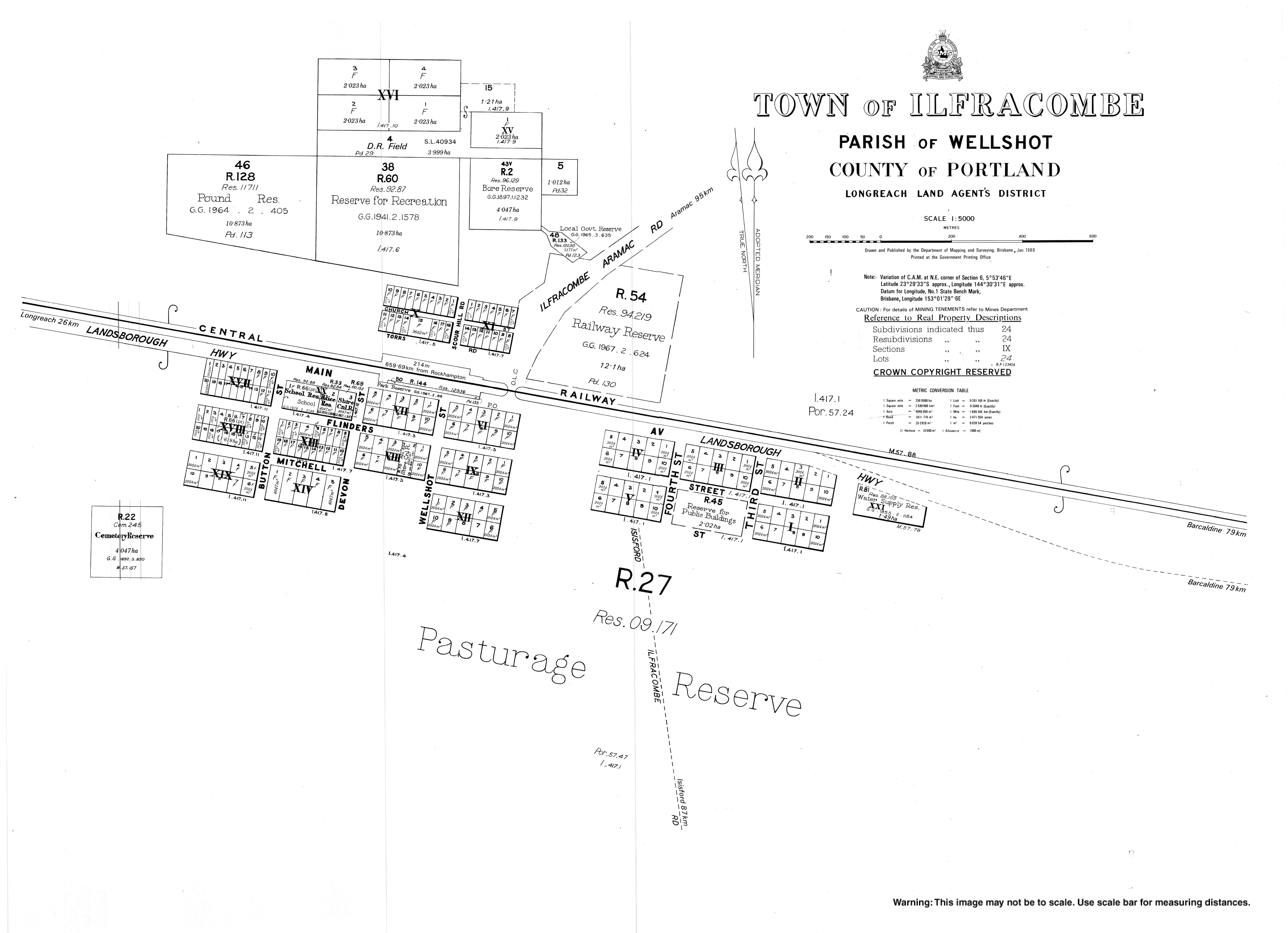
- "Town map of Ilfracombe". Queensland Government. 1980.