Coolmunda is a rural locality in the Goondiwindi Region, Queensland, Australia.[2] In the 2021 census, Coolmunda had a population of 212 people.[1]
| Coolmunda Queensland | |||||||||||||||
|---|---|---|---|---|---|---|---|---|---|---|---|---|---|---|---|
 Lake Coolmunda provides water for Inglewood and irrigators as far downstream as Goondiwindi | |||||||||||||||
 Coolmunda | |||||||||||||||
| Coordinates | 28°26′17″S 151°13′56″E / 28.4380°S 151.2322°E | ||||||||||||||
| Population | 212 (2021 census)[1] | ||||||||||||||
| • Density | 0.8908/km2 (2.307/sq mi) | ||||||||||||||
| Postcode(s) | 4387 | ||||||||||||||
| Area | 238.0 km2 (91.9 sq mi) | ||||||||||||||
| Time zone | AEST (UTC+10:00) | ||||||||||||||
| Location |
| ||||||||||||||
| LGA(s) | Goondiwindi Region | ||||||||||||||
| State electorate(s) | Southern Downs | ||||||||||||||
| Federal division(s) | Maranoa | ||||||||||||||
| |||||||||||||||
Geography
editThe Cunningham Highway and South Western railway line pass through the locality from east (Oman Ama) to west (Inglewood).[3] The locality is served by the Cobba-Da-Mana railway station (28°24′28″S 151°13′25″E / 28.4077°S 151.2236°E).[4]
Coolmunda includes the neighbourhood of Cobba-Da-Mana around the Cobba-Da-Mana railway station.[5][6]
To the south of the highway and railway, Lake Coolmunda is a reservoir (28°27′00″S 151°14′00″E / 28.45°S 151.2333°E)[7] created by Coolmunda Dam (28°26′13″S 151°13′03″E / 28.4369°S 151.2175°E) impounding the Macintrye Brook.[8] It has a capacity of 69,000 megalitres (2,400×106 cu ft).[9]
The Coolmunda Conservation Park (28°27′34″S 151°12′29″E / 28.4594°S 151.2080°E) is to the south-west of the lake.[10] The park seeks to protect the endangered Leucopogon sp (Coolmunda D.Halford Q1635) and the vulnerable Eucalyptus virens (shiny-leaved ironbark).[11]
The land use is a mixture of dry and irrigated cropping and grazing on native vegetation.[3]
History
editThe name Coolmunda is thought to be an Aboriginal word, meaning a stream with a sandy bed.[2]
Coolmunda Provisional School opened 20 October 1883 but closed on 27 March 1885. It reopened in about March 1900 and became Coolmunda State School from 1 January 1909. In 1914 the school's name was changed to Waroo Road State School. The school closed in 1922, but reopened again in 1923 as a half-time school sharing a teacher with the Greenup Provisional School, but closed again in 1927. It recommenced in 1929 as a part-time school sharing a teacher with Greenup and Brush Creek Provisional School, closing in 1930.[12] It was located to the south of the Cunningham Highway where the highway and railway line diverge (28°24′57″S 151°09′48″E / 28.4157°S 151.1634°E).[13]
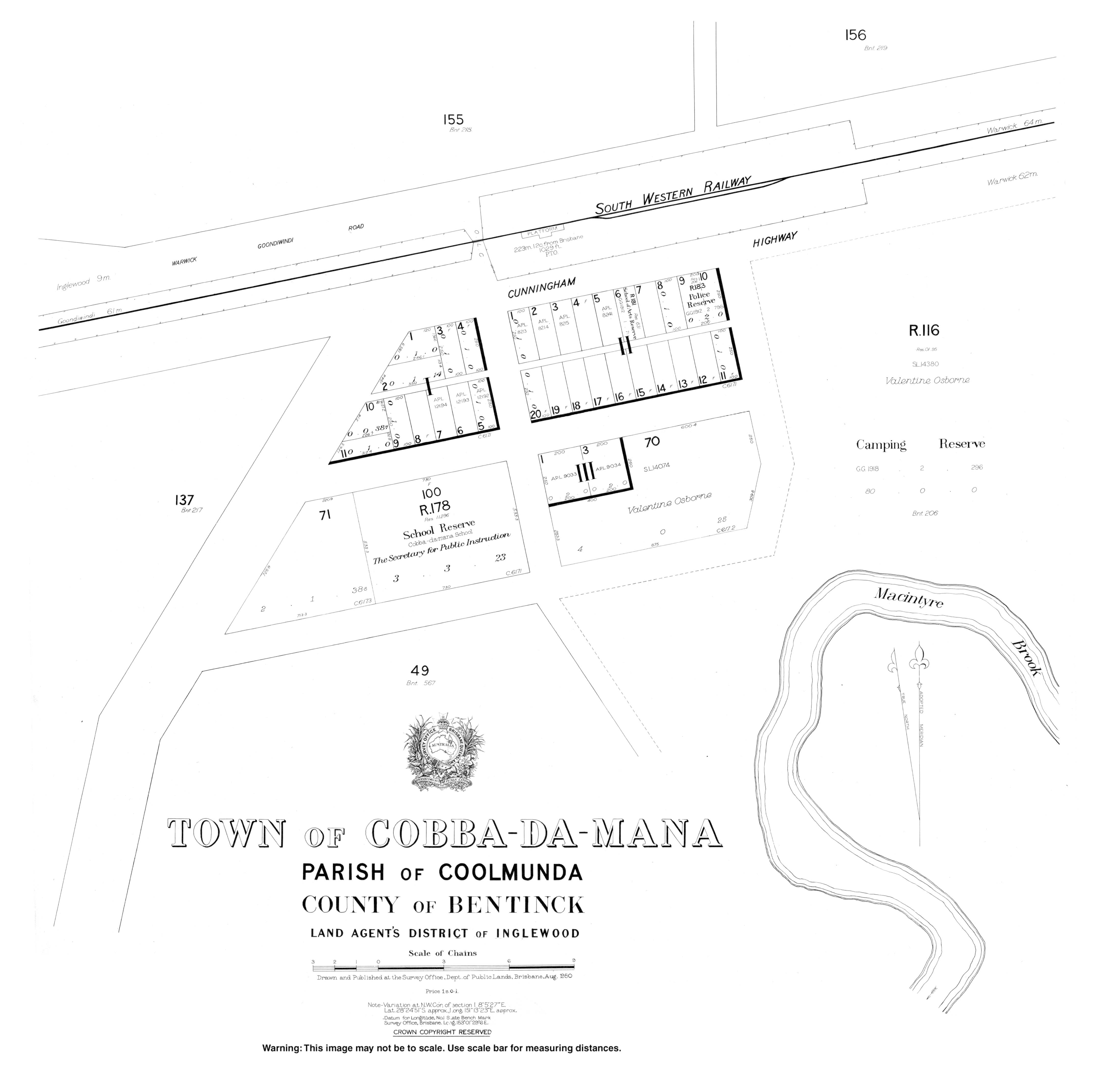
In May 1912 the Queensland Government auctioned 26 town allotments in the Town of Cobba-Da-Mana.[14]
The South Western railway opened from Thane to Inglewood on 8 July 1907, with the locality being served by the now-abandoned Coolmunda railway station (28°24′53″S 151°08′53″E / 28.4148°S 151.1481°E) and Cobba-Da-Mana railway station.[4][6][15]
Nanny Creek Provisional School opened on 1911 and closed on circa 1913.[12]
Cobba-Da-Mana State School opened on 22 January 1912 and closed in 1965.[12] It was just south-west of the Cobba-Da-Mana railway station, approximately 28°24′27″S 151°13′11″E / 28.4076°S 151.21960°E.[16]
On 15 August 1932, a new Coolmunda State School was established which operated until 1943.[12]
Demographics
editIn the 2016 census, Coolmunda had a population of 141 people.[17]
In the 2021 census, Coolmunda had a population of 212 people.[1]
Education
editThere are no schools in Coolmunda. The nearest govenment school is Inglewood State School (to Year 10) in neighbouring Inglewood to the west. There is no nearby school offering secondary education to Year 12; the options are distance education and boarding school.[18]
Amenities
editBracker Creek Rural Fire Station is at 1782 Tobacco Road (28°28′43″S 151°12′46″E / 28.4786°S 151.2128°E).[19]
Attractions
editThe Coolamunda Dam offers fishing for a variety of stocked and local species; a Stocked Impoundment Permit is required.[9] There is a boat ramp at 28°25′26″S 151°13′02″E / 28.4240°S 151.2173°E.[20]
References
edit- ^ a b c Australian Bureau of Statistics (28 June 2022). "Coolmunda (SAL)". 2021 Census QuickStats. Retrieved 28 February 2023.
- ^ a b "Coolmunda – locality in Goondiwindi Region (entry 47806)". Queensland Place Names. Queensland Government. Retrieved 18 September 2020.
- ^ a b "Queensland Globe". State of Queensland. Retrieved 22 October 2020.
- ^ a b "Railway stations and sidings - Queensland". Queensland Open Data. Queensland Government. 2 October 2020. Archived from the original on 5 October 2020. Retrieved 5 October 2020.
- ^ "Cobba-Da-Mana – railway station in Goondiwindi Region (entry 7557)". Queensland Place Names. Queensland Government. Retrieved 26 December 2017.
- ^ a b "Railway stations and sidings - Queensland". Queensland Open Data. Queensland Government. 27 August 2020. Archived from the original on 5 October 2020. Retrieved 5 October 2020.
- ^ "Lake Coolmunda – reservoir in Goondiwindi Regional (entry 8122)". Queensland Place Names. Queensland Government. Retrieved 18 September 2020.
- ^ "Coolmunda Dam – dam wall in the Goondiwindi Region (entry 49994)". Queensland Place Names. Queensland Government. Retrieved 23 October 2020.
- ^ a b "Coolmunda Dam". Sunwater. Archived from the original on 1 July 2024. Retrieved 22 October 2020.
- ^ "Coolmunda Conservation Park – conservation park in the Goondiwindi Region (entry 39411)". Queensland Place Names. Queensland Government. Retrieved 23 October 2020.
- ^ "Coolmunda Regional Park Management Statement" (PDF). Queensland Government. Archived (PDF) from the original on 22 October 2020. Retrieved 23 October 2020.
- ^ a b c d Queensland Family History Society (2010), Queensland schools past and present (Version 1.01 ed.), Queensland Family History Society, ISBN 978-1-921171-26-0
- ^ "Parish of Coolmunda" (Map). Queensland Government. 1930. Archived from the original on 31 August 2020. Retrieved 31 August 2020.
- ^ "Advertising". Warwick Examiner And Times. No. 4273. Queensland, Australia. 6 May 1912. p. 1. Archived from the original on 1 July 2024. Retrieved 23 October 2020 – via National Library of Australia.
- ^ "Lost--A Name!". The Telegraph. No. 10, 808. Queensland, Australia. 9 July 1907. p. 2 (SECOND EDITION). Archived from the original on 1 July 2024. Retrieved 23 October 2020 – via National Library of Australia.
- ^ "Town of Cobba-Da-Mana" (Map). Queensland Government. 1950. Archived from the original on 23 October 2020. Retrieved 23 October 2020.
- ^ Australian Bureau of Statistics (27 June 2017). "Coolmunda (SSC)". 2016 Census QuickStats. Retrieved 20 October 2018.
- ^ "Layers: Locality; Schools and school catchments". Queensland Globe. Queensland Government. Archived from the original on 19 December 2017. Retrieved 30 June 2024.
- ^ "Emergency services facilities - Queensland". Queensland Open Data. Queensland Government. 12 November 2020. Archived from the original on 15 November 2020. Retrieved 12 November 2020.
- ^ "Recreational Boating Facilities Queensland". Queensland Open Data. Queensland Government. 27 March 2020. Archived from the original on 22 October 2020. Retrieved 22 October 2020.