Boonooroo is a coastal town and locality in the Fraser Coast Region, Queensland, Australia.[2][3] In the 2021 census, the locality of Boonooroo had a population of 371 people.[1]
| Boonooroo Queensland | |||||||||||||||
|---|---|---|---|---|---|---|---|---|---|---|---|---|---|---|---|
 Boonooroo | |||||||||||||||
| Coordinates | 25°40′06″S 152°54′07″E / 25.6683°S 152.9019°E | ||||||||||||||
| Population | 371 (2021 census)[1] | ||||||||||||||
| • Density | 35.33/km2 (91.5/sq mi) | ||||||||||||||
| Postcode(s) | 4650 | ||||||||||||||
| Area | 10.5 km2 (4.1 sq mi) | ||||||||||||||
| Time zone | AEST (UTC+10:00) | ||||||||||||||
| Location |
| ||||||||||||||
| LGA(s) | Fraser Coast Region | ||||||||||||||
| State electorate(s) | Maryborough | ||||||||||||||
| Federal division(s) | Wide Bay | ||||||||||||||
| |||||||||||||||
Geography
editThe Great Sandy Strait forms the eastern and southern boundaries.[4]
History
editThe town's name is an Aboriginal word meaning the brigalow tree (Acacia harpopylla).[2]
Boonooroo State School opened in 1911. It closed in May 1931. On 30 September 1946 it reopened as Boonooroo Provisional School, becoming Boonooroo State School in 1960. It then closed in 1961.[5]
Demographics
editIn the 2016 census, the locality of Boonooroo had a population of 322 people.[6]
In the 2021 census, the locality of Boonooroo had a population of 371 people.[1]
Education
editThere are no schools in Boonooroo. The nearest government primary school is Granville State School in Granville to the north-west. The nearest government secondary school is Maryborough State High School in Maryborough to the north-west.[7]
References
edit- ^ a b c Australian Bureau of Statistics (28 June 2022). "Boonooroo (SAL)". 2021 Census QuickStats. Retrieved 28 February 2023.
- ^ a b "Boonooroo – town in Fraser Coast Region (entry 3778)". Queensland Place Names. Queensland Government. Retrieved 27 December 2020.
- ^ "Boonooroo – locality in Fraser Coast Region (entry 46631)". Queensland Place Names. Queensland Government. Retrieved 27 December 2020.
- ^ Google (20 August 2021). "Boonooroo, Queensland" (Map). Google Maps. Google. Retrieved 20 August 2021.
- ^ Queensland Family History Society (2010), Queensland schools past and present (Version 1.01 ed.), Queensland Family History Society, ISBN 978-1-921171-26-0
- ^ Australian Bureau of Statistics (27 June 2017). "Boonooroo (SSC)". 2016 Census QuickStats. Retrieved 20 October 2018.
- ^ "Layers: Locality; Schools and school catchments". Queensland Globe. Queensland Government. Retrieved 26 June 2024.
External links
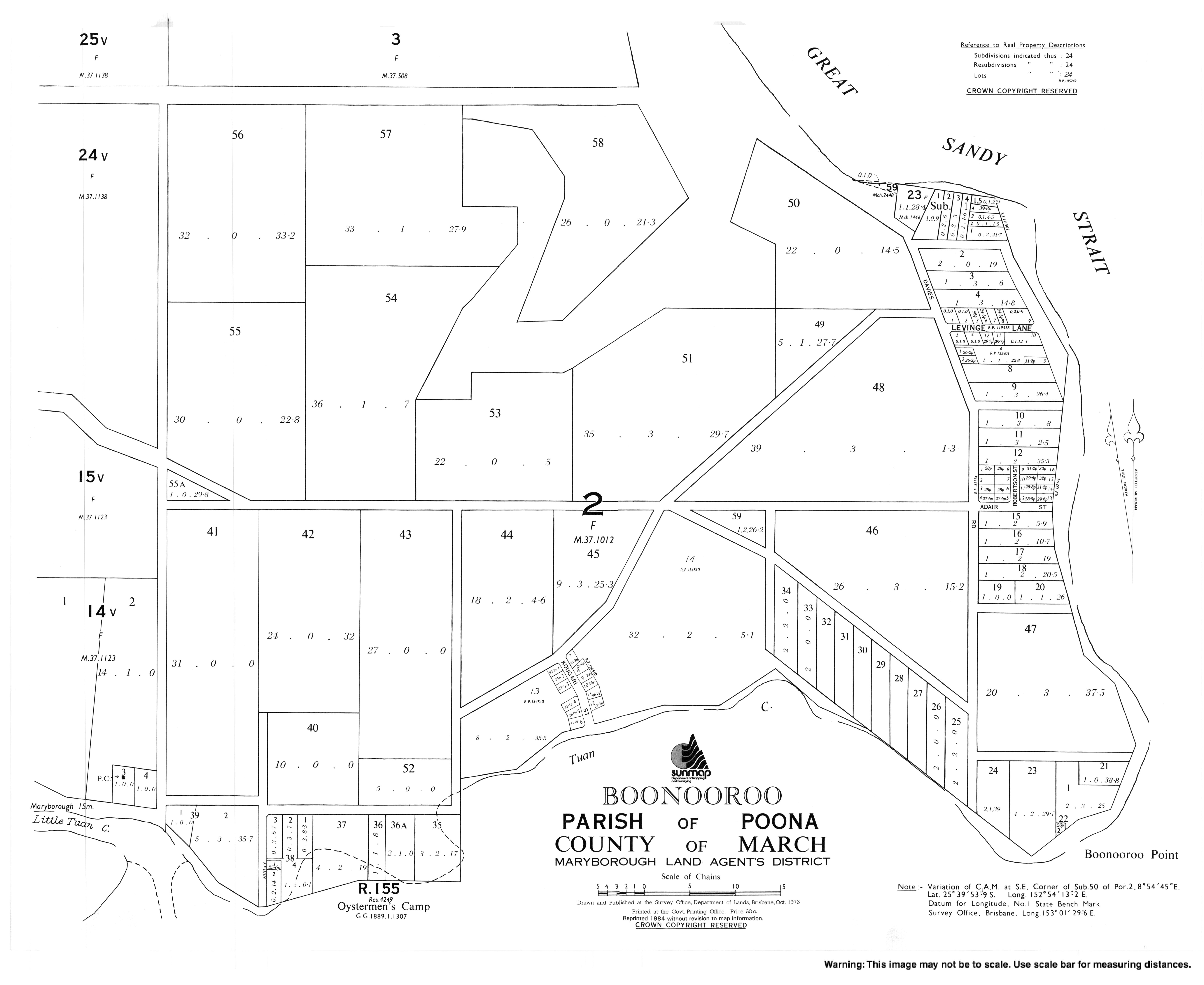
edit- "Town map of Boonooroo". Queensland Government. 1973. Archived from the original on 2 January 2018.