Washington State Route 170 (1965–1967)
State Route 170 was a state route in the U.S. state of Washington. It was an auxiliary route of SR 17. It started at SR 17 in Mesa, then headed west to Ringold, where it ended.[2]
State Route 170 | |
|---|---|
| Route information | |
| Auxiliary route of SR 17 | |
| Maintained by WSDOT | |
| Length | 15.8 mi[1] (25.4 km) |
| Existed | 1965–1967 |
| Major junctions | |
| West end | Ringold |
| East end | |
| Location | |
| Country | United States |
| State | Washington |
| Highway system | |

Route description edit
From 1964 until 1970,[3][4] SR 170 began at Ringold Road near the Columbia River southwest of Basin City. From Ringold Road, the roadway traveled northeast into Basin City and then left east to end at SR 17 north of its southern terminus at U.S. Route 395 (US 395) in Mesa;[5] the current road is named Road 170.[6]
History edit
The former route of SR 170 first appeared on a map in 1926, when Rand McNally published a road map of Washington, including a road extending from Hanford to Mesa.[7] That road would later become a section of Secondary State Highway 11A (SSH 11A) in 1937, which ran from Yakima to Connell.[8][9] In 1953, SSH 11A was relocated due to the development of the Hanford Site and the Hanford–Mesa route became the Ringold branch.[10][11] Although the roadway was on a map by 1926, the road wasn't finished until after 1963;[5] one year later in 1964, the highway became SR 170,[4] which was later moved to another route near Warden in 1970.[3]
Major intersections edit
The entire highway was in Franklin County.
| Location | mi[1] | km | Destinations | Notes | |
|---|---|---|---|---|---|
| | 0.0 | 0.0 | Ringold River Road | Western terminus | |
| Basin City | 7.5 | 12.1 | Sagehill Road | ||
| Mesa | 15.8 | 25.4 | Eastern terminus | ||
| 1.000 mi = 1.609 km; 1.000 km = 0.621 mi | |||||
References edit
- ^ a b Google (May 4, 2010). "Ringold River Rd to WA-17 S" (Map). Google Maps. Google. Retrieved May 4, 2010.
- ^ Highways of Washington State. "Highways of Washington State". Retrieved May 11, 2008.
- ^ a b Washington State Legislature (1970). "RCW 47.17.345: State route No. 170". Retrieved July 4, 2009.
- ^ a b C. G. Prahl (December 1, 1965). "Identification of State Highways" (PDF). Washington State Highway Commission, Department of Highways. Retrieved July 4, 2009.
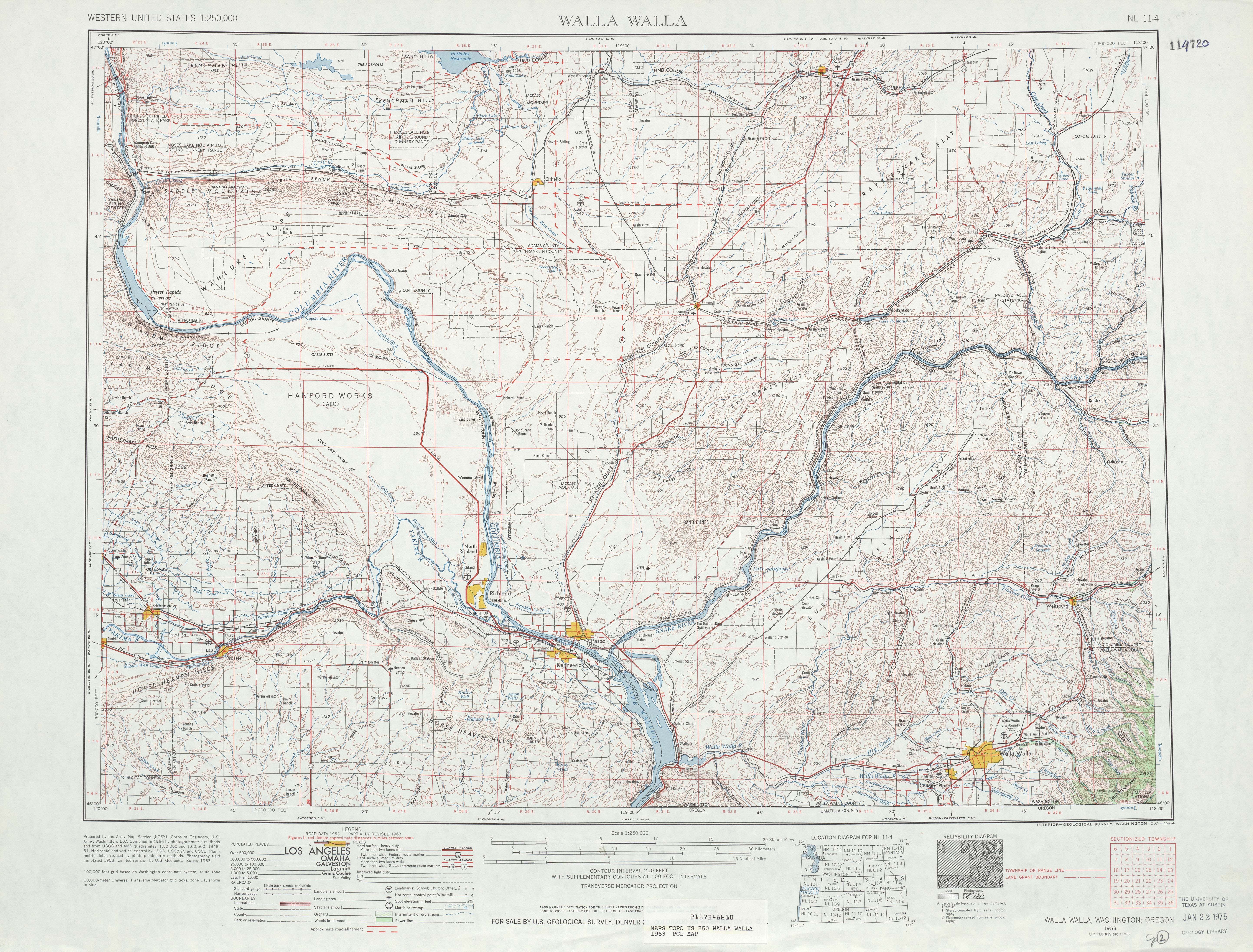
- ^ a b United States Geological Survey (1963). Walla Walla, 1963 (Map). 1:125,000. University of Texas at Austin. Retrieved July 4, 2009.
- ^ Google (July 4, 2009). "Former State Route 170 (Road 170)" (Map). Google Maps. Google. Retrieved July 4, 2009.
- ^ Rand McNally Junior Road Map, Washington (Map). Rand McNally. 1926. Retrieved July 4, 2009.
- ^ Washington State Legislature (March 18, 1937). "Chapter 207: Classification of Public Highways". Session Laws of the State of Washington (1937 ed.). Olympia, Washington: Washington State Legislature. pp. 1007–1008. Retrieved July 4, 2009.
(a) Secondary State Highway No. 11A; beginning at Connell on Primary State Highway No. 11, thence in a westerly direction by the most feasible route to Yakima on Primary State Highway No. 3; the director of highways of the State of Washington shall provide suitable facilities for vehicle and pedestrian crossing of the Columbia river at the point where Secondary State Highway No. 11A, as herein described, crosses the river, and shall maintain said means of crossing at the expense of the State of Washington and without charge to the traveling public.
- ^ Northwest, 1946 (Map). Rand McNally. 1946. p. 16. Retrieved July 4, 2009.
- ^ Washington State Legislature (1953). "Chapter 59". Session Laws of the State of Washington (1953 ed.). Olympia, Washington: Washington State Legislature. Retrieved July 4, 2009.
- ^ Washington State Highway Commission, Department of Highways (1960). "Annual Traffic Report, 1960" (PDF). Washington State Department of Transportation. p. 202. Retrieved July 4, 2009.