Salair Ridge (pronounced sah-lah-EER; Russian: Салаирский кряж is a plateau-type highland in Altai Krai, Kemerovo Oblast and Novosibirsk Oblast, Russian Federation.
| Salair Ridge | |
|---|---|
| Салаирский кряж | |
 View of the range | |
| Highest point | |
| Peak | Kivda |
| Elevation | 621 m (2,037 ft) |
| Coordinates | 54°05′N 85°50′E / 54.083°N 85.833°E[1] |
| Dimensions | |
| Length | 300 km (190 mi) NW / SE |
| Width | 30 km (19 mi) NE/ SW |
| Geography | |
 Salair Ridge Location | |
| Location | Altai Krai, Kemerovo Oblast and Novosibirsk Oblast |
| Parent range | Altai Mountains, South Siberian System |
| Geology | |
| Orogeny | Alpine orogeny |
| Type of rock | Granite, sandstone, limestone and tuff |
| Climbing | |
| Easiest route | from Novokuznetsk |

There are ski resorts in the mountains. The Salair National Park is a protected area in the western slopes.[2]
Geography
editIt is a low and eroded prolongation of the Altai Mountains in Southwestern Siberia and separates the Kuznetsk Depression from the Ob River Plain to the southwest, ending with the Bugotak Hills. Its main ridge is nearly parallel to that of the Kuznetsk Alatau. The ridge is some 300 kilometres (190 mi) in length and between 15 kilometres (9.3 mi) and 40 kilometres (25 mi) wide.[1]
The mountains are rich in complex ores. The highest peak is Kivda (Russian: Кивда), at 621 metres (2,037 ft).[3]
See also
editReferences
edit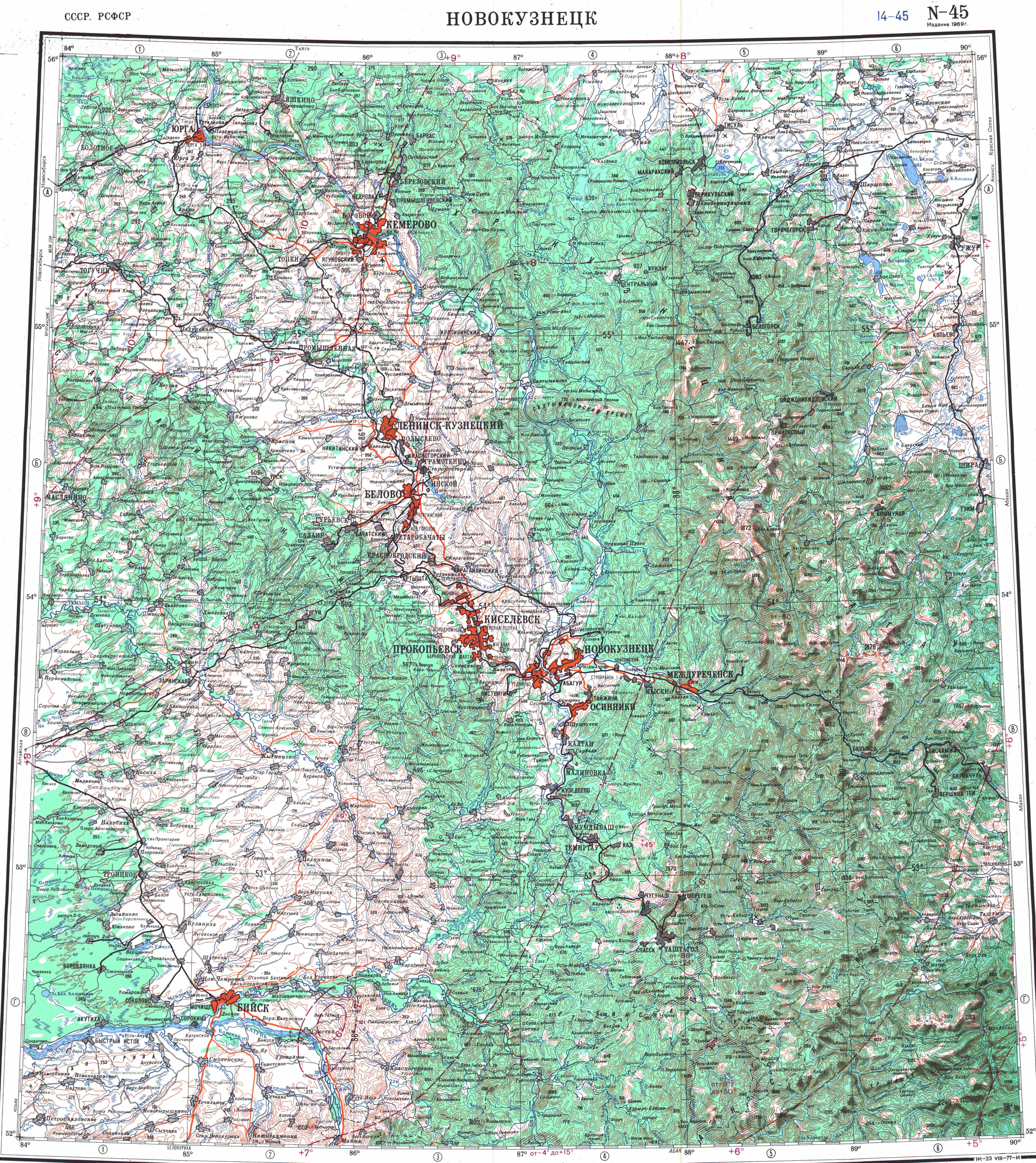
External links
edit Media related to Salair Ridge at Wikimedia Commons
- (in Russian)Salair Ridge
- (in Russian)A map of paleolithic settlements at Salair Ridge
This Kemerovo Oblast location article is a stub. You can help Wikipedia by expanding it. |
This Novosibirsk Oblast location article is a stub. You can help Wikipedia by expanding it. |
This Altai Krai location article is a stub. You can help Wikipedia by expanding it. |