McKinlay is an outback town and locality in McKinlay Shire, Queensland, Australia.[2][3] In the 2016 census, the locality of McKinlay had a population of 178 people.[1]
| McKinlay Queensland | |||||||||||||||
|---|---|---|---|---|---|---|---|---|---|---|---|---|---|---|---|
 The Landsborough Highway through McKinlay in 1962 | |||||||||||||||
 McKinlay | |||||||||||||||
| Coordinates | 21°16′17″S 141°17′25″E / 21.2713°S 141.2902°E | ||||||||||||||
| Population | 178 (2016 census)[1] | ||||||||||||||
| • Density | 0.02014/km2 (0.05217/sq mi) | ||||||||||||||
| Established | 1888 | ||||||||||||||
| Postcode(s) | 4823 | ||||||||||||||
| Elevation | 170 m (558 ft) | ||||||||||||||
| Area | 8,837.5 km2 (3,412.2 sq mi) | ||||||||||||||
| Time zone | AEST (UTC+10:00) | ||||||||||||||
| Location |
| ||||||||||||||
| LGA(s) | McKinlay Shire | ||||||||||||||
| State electorate(s) | Traeger | ||||||||||||||
| Federal division(s) | Kennedy | ||||||||||||||
| |||||||||||||||
Geography edit
McKinlay is in the Gulf Country in the remote north-west of Queensland, 1,595 kilometres (991 mi) north west of the state capital Brisbane and 228 kilometres (142 mi) south east of the regional centre of Mount Isa.
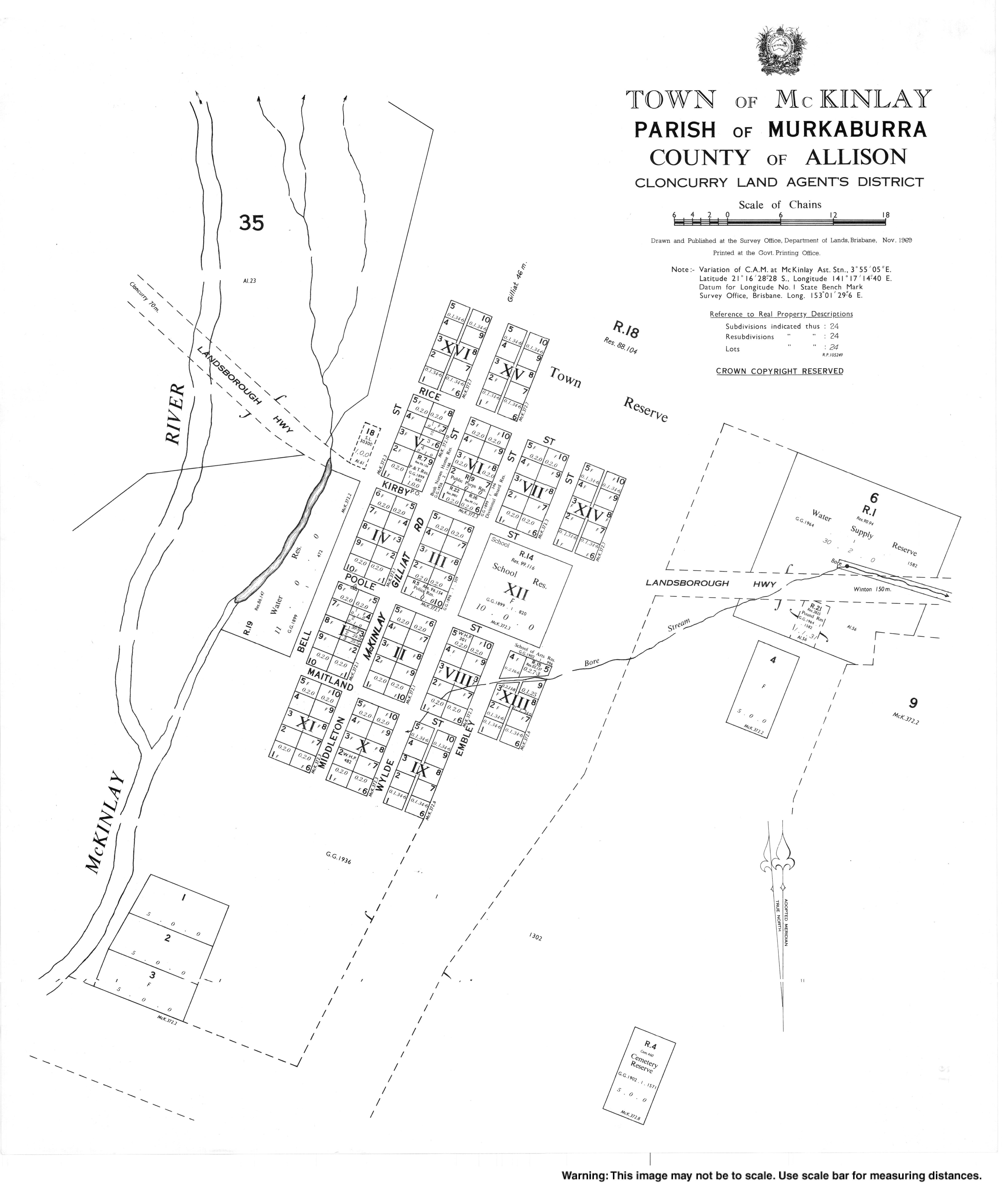
The town is located slightly north of the centre of the locality. The Landsborough Highway enters the locality from the east (Kynuna), passes through the town along Kirby Street, and exits to the north-west (Kuridala / Cloncurry).[4][5]
The McKinlay River enters the locality from the south-west (Selwyn), flows immediately north-west of the town, exiting the locality to the north (Julia Creek) where it becomes a tributary of the Gilliart River, ultimately becoming a tributary of the Flinders River which flows into the Gulf of Carpentaria.[4]
History edit
McKinlay is named for the nearby McKinlay River—itself named for the Scottish explorer John McKinlay who was the first European to discover the river in 1861.[6]
Gold was discovered in the area in 1872.[7]
A letter receiving office was opened in 1883.[7] Mackinlay Post Office opened on 1 April 1894 and was renamed McKinlay in 1909.[8]
The town was surveyed and allotments sold in 1888.[7]

Mackinlay State School opened on 5 July 1897. In 1934, the spelling of the name was changed to McKinlay State School. It closed in 1953 but reopened in January 1957. It closed permanently on 5 December 1986.[9] It was on a 10-acre (4.0 ha) site bounded by Poole Street, Wylde Street, and Kirby Street. The school building remains on the site as a community facility; it faces Wylde Street (21°16′25″S 141°17′25″E / 21.2736°S 141.2902°E).[5][10]
The offices of the Shire of McKinlay were located in the town until 1930 when they were relocated to Julia Creek.[7]
St Mary the Virgin's Anglican Church was officially opened and dedicated by Bishop John Feetham on Sunday 8 August 1937. The church building had been relocated from Kynuna where it had been previously used as a Roman Catholic church. It has now closed in McKinlay.[11][12][13]
Our Lady of the Way Catholic Church was in Middleton Street. It opened in 1961, after being relocated from Julia Creek, where it had been St Abigail's Catholic Church. It has now closed in McKinlay.[14]
In the 2011 census, McKinlay had a population of 417 people.[15]
In the 2016 census, the locality of McKinlay had a population of 178 people.[1]
Economy edit
South 32 Cannington mine, Australia's largest silver and lead mine, is 85 kilometres (53 mi) west of McKinlay.[7]
Education edit
There are no schools in McKinlay.
Amenities edit

McKinlay has a park and a small museum.
The Crafty Old School House (the former McKinlay State School) in Wylde Street is used for community events and can hired for private events.[10] The school's tennis courts are also available for use.[16]

The McKinlay Shire Council operates a public library at Middleton Street; it is claimed to be Queensland's smallest public library.[17][18] It also serves as the town's Visitor Information Centre.[19]
The McKinlay branch of the Queensland Country Women's Association has its rooms at 22 Middleton Street.[20]
Regular services by the Uniting Church in Australia are held in the QCWA rooms. These are provided by the McKay Patrol, an aerial service of the Uniting Church in Australia that operates out of Cloncurry. Supported by other denominations, the McKay Patrol operates a Cessna 182Q aeroplane to provide spiritual and practical help to people living in remote areas in the north-west of Queensland and the eastern Tablelands of the Northern Territory, an area of approximately 625,000 square kilometres (241,000 sq mi) with a population of less than 10,000 people.[21][22][23]
Attractions edit

The town is best known for the Walkabout Creek Hotel, featured in the movie Crocodile Dundee.[6] The pub operates from the former McKinlay Shire Hall It has become a major tourism draw for the town and, when put up for sale in 2010, attracted worldwide interest.[24]
References edit
- ^ a b c Australian Bureau of Statistics (27 June 2017). "McKinlay (SSC)". 2016 Census QuickStats. Retrieved 20 October 2018.
- ^ "McKinlay – town (entry 21413)". Queensland Place Names. Queensland Government. Retrieved 26 June 2017.
- ^ "McKinlay – locality (entry 42265)". Queensland Place Names. Queensland Government. Retrieved 26 June 2017.
- ^ a b "Queensland Globe". State of Queensland. Retrieved 30 August 2022.
- ^ a b "Town of Mckinlay" (Map). Queensland Government. 1969. Retrieved 30 August 2022.
- ^ a b "McKinlay". The Age. 8 February 2004. Archived from the original on 18 October 2007. Retrieved 12 April 2012.
- ^ a b c d e "McKinlay History". Shire of McKinlay. Archived from the original on 28 April 2012. Retrieved 12 April 2012.
- ^ Premier Postal History. "Post Office List". Premier Postal Auctions. Archived from the original on 15 May 2014. Retrieved 10 May 2014.
- ^ Queensland Family History Society (2010), Queensland schools past and present (Version 1.01 ed.), Queensland Family History Society, ISBN 978-1-921171-26-0
- ^ a b "Venues and Meeting Rooms". McKinlay Shire Council. Retrieved 30 August 2022.
- ^ Blake, Thom. "St Mary's Anglican Church". Queensland religious places database. Retrieved 30 August 2022.
- ^ "Mckinlay Notes". Cloncurry Advocate. Queensland, Australia. 3 July 1937. p. 2. Retrieved 30 August 2022 – via National Library of Australia.
- ^ "Anglican Synod". Townsville Daily Bulletin. Vol. LIX, no. 166. Queensland, Australia. 12 July 1937. p. 4. Retrieved 30 August 2022 – via National Library of Australia.
- ^ Blake, Thom. "Our Lady of the Way Catholic Church". Queensland religious places database. Retrieved 30 August 2022.
- ^ Australian Bureau of Statistics (31 October 2012). "McKinlay (State Suburb)". 2011 Census QuickStats. Retrieved 1 August 2013.
- ^ "Sporting Facilities". McKinlay Shire Council. Retrieved 30 August 2022.
- ^ "McKinlay Library". Public Libraries Connect. State Library of Queensland. 24 April 2014. Archived from the original on 23 January 2018. Retrieved 22 January 2018.
- ^ "Libraries". McKinlay Shire Council. Archived from the original on 26 December 2018. Retrieved 26 December 2016.
- ^ "McKinlay". At the Creek. Retrieved 30 August 2022.
- ^ "Branch locations". Queensland Country Women's Association. Archived from the original on 26 December 2018. Retrieved 26 December 2018.
- ^ "Find a Church". Uniting Church in Australia, Queensland Synod. Archived from the original on 24 October 2020. Retrieved 22 November 2020.
- ^ "About the McKay Patrol". McKay Patrol. Archived from the original on 11 March 2020. Retrieved 12 September 2021.
- ^ "About MJZ". McKay Patrol. Archived from the original on 11 March 2020. Retrieved 12 September 2021.
- ^ "Crocodile Dundee Pub up for sale". Australian Geographic. 21 October 2010. Archived from the original on 26 April 2018. Retrieved 26 December 2018.