File:Weston-on-the-Green grass airfield for parachuting and gliding - geograph.org.uk - 387615.jpg
No higher resolution available.
Weston-on-the-Green_grass_airfield_for_parachuting_and_gliding_-_geograph.org.uk_-_387615.jpg (640 × 480 pixels, file size: 163 KB, MIME type: image/jpeg)
| This is a file from the Wikimedia Commons. Information from its description page there is shown below. Commons is a freely licensed media file repository. You can help. |
Summary
| Description |
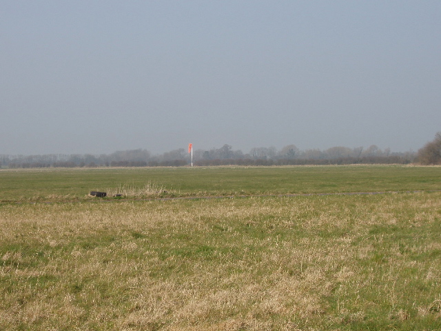
English: Weston-on-the-Green grass airfield for parachuting and gliding The airfield is used for military parachuting, also by Oxford Gliding Club http://www.logico.f9.co.uk/OGC/Arriving%20by%20Air.htm who warn "With the level of parachute activity described, it would be foolhardy to blunder into the airspace above the airfield without knowing what is going on." See http://www.a2oxford.info/pages/weston/ about RAF Weston-on-the-Green for more information on the military training, including aerial photographs. |
| Date | |
| Source | From geograph.org.uk |
| Author | David Hawgood |
| Attribution (required by the license) | David Hawgood / Weston-on-the-Green grass airfield for parachuting and gliding / |
| Camera location | | View this and other nearby images on: OpenStreetMap |
|---|
_heading:337.00&language=en)
| Object location | | View this and other nearby images on: OpenStreetMap |
|---|
_heading:337.00&language=en)
Licensing

|
This image was taken from the Geograph project collection. See this photograph's page on the Geograph website for the photographer's contact details. The copyright on this image is owned by David Hawgood and is licensed for reuse under the Creative Commons Attribution-ShareAlike 2.0 license.
|
This file is licensed under the Creative Commons Attribution-Share Alike 2.0 Generic license.
Attribution: David Hawgood
- You are free:
- to share – to copy, distribute and transmit the work
- to remix – to adapt the work
- Under the following conditions:
- attribution – You must give appropriate credit, provide a link to the license, and indicate if changes were made. You may do so in any reasonable manner, but not in any way that suggests the licensor endorses you or your use.
- share alike – If you remix, transform, or build upon the material, you must distribute your contributions under the same or compatible license as the original.
File history
Click on a date/time to view the file as it appeared at that time.
| Date/Time | Thumbnail | Dimensions | User | Comment | |
|---|---|---|---|---|---|
| current | 15:55, 3 February 2011 | | 640 × 480 (163 KB) | GeographBot | == {{int:filedesc}} == {{Information |description={{en|1=Weston-on-the-Green grass airfield for parachuting and gliding The airfield is used for military parachuting, also by Oxford Gliding Club http://www.logico.f9.co.uk/OGC/Arriving%20by%20Air.htm who w |
File usage
The following pages on the English Wikipedia use this file (pages on other projects are not listed):
Global file usage
The following other wikis use this file:
- Usage on www.wikidata.org