
Size of this preview: 800 × 600 pixels. Other resolutions: 320 × 240 pixels | 640 × 480 pixels | 1,024 × 768 pixels | 1,280 × 960 pixels | 1,600 × 1,200 pixels.
Original file (1,600 × 1,200 pixels, file size: 1.45 MB, MIME type: image/jpeg)
| This is a file from the Wikimedia Commons. Information from its description page there is shown below. Commons is a freely licensed media file repository. You can help. |
Summary
| Description |
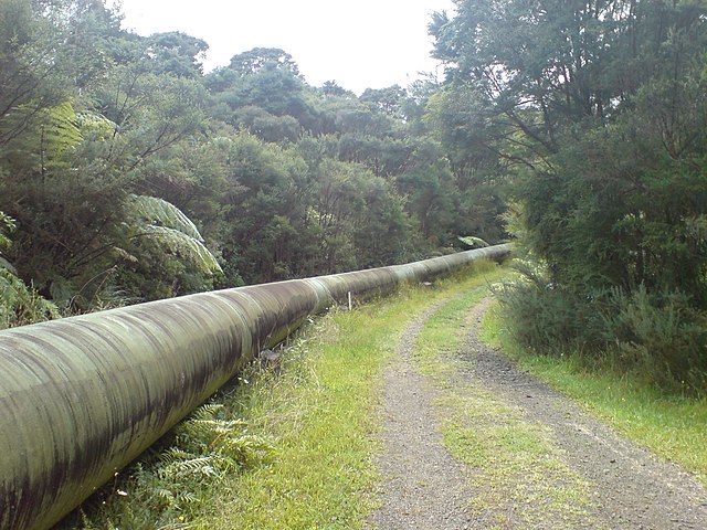
English: A big water pipeline in the Waitakere Ranges in Auckland, New Zealand. It carries water near the Lower Nihotopu Reservoir. Coordinates VERY approximate. Hard to make out an exact location from an aerial in the middle of the bush. |
| Date | |
| Source | Self-photographed |
| Author | Ingolfson |
| Camera location | | View this and other nearby images on: OpenStreetMap |
|---|
Licensing
| I, the copyright holder of this work, release this work into the public domain. This applies worldwide. In some countries this may not be legally possible; if so: I grant anyone the right to use this work for any purpose, without any conditions, unless such conditions are required by law. |
File history
Click on a date/time to view the file as it appeared at that time.
| Date/Time | Thumbnail | Dimensions | User | Comment | |
|---|---|---|---|---|---|
| current | 09:43, 30 September 2011 | | 1,600 × 1,200 (1.45 MB) | Ingolfson | == {{int:filedesc}} == {{Information |Description={{en|Something in Auckland, New Zealand.}} |Source={{own}} (Own picture). |Date=2011-02 |Author=Uploader. |Permission= |other_versions=None. }} {{loca |
File usage
The following pages on the English Wikipedia use this file (pages on other projects are not listed):