Size of this preview: 624 × 599 pixels. Other resolutions: 250 × 240 pixels | 500 × 480 pixels | 837 × 804 pixels.
Original file (837 × 804 pixels, file size: 194 KB, MIME type: image/jpeg)
| This is a file from the Wikimedia Commons. Information from its description page there is shown below. Commons is a freely licensed media file repository. You can help. |
Summary
| Description |
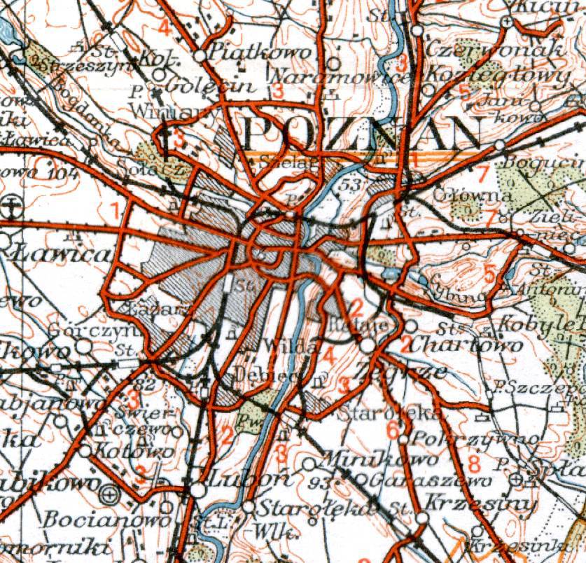
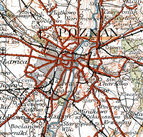
English: Operational map of Poland and neighbouring countries, region Poznań. Scale of 1:300000.
Polski: Mapa Operacyjna Polski, region Poznań. Skala 1:300000. |
| Date | |
| Source | Mapy archiwalne Polski |
| Author | |
| Other versions |


.jpg)
.jpg&action=edit&redlink=1)
.jpg)
Licensing
This image (or other media file) is in the public domain because its copyright has expired and its author is anonymous.
This applies to the European Union and those countries with a copyright term of 70 years after the work was made available to the public and the author never disclosed their identity. Important: Always mention where the image comes from, as far as possible, and make sure the author never claimed authorship. Note: In Germany and possibly other countries, certain anonymous works published before July 1, 1995 are copyrighted until 70 years after the death of the author. See Übergangsrecht. Please use this template only if the author never claimed authorship or their authorship never became public in any other way. If the work is anonymous or pseudonymous (e.g., published only under a corporate or organization's name), use this template for images published more than 70 years ago.
For a work made available to the public in the United Kingdom, please use Template:PD-UK-unknown instead.
|
| This is a retouched picture, which means that it has been digitally altered from its original version. Modifications: cropped. The original can be viewed here: WIG Mapa Operacyjna Polski - 53 Poznań 1935.jpg:
|
File history
Click on a date/time to view the file as it appeared at that time.
| Date/Time | Thumbnail | Dimensions | User | Comment | |
|---|---|---|---|---|---|
| current | 20:51, 26 February 2011 | | 837 × 804 (194 KB) | Cropbot | <!-- Uploaded with Cropbot operated by User:Yarl --> {{LargeImage}} == {{int:filedesc}} == {{Information | description = {{en|Operational map of Poland and neighbouring countries, region Poznań. Scale of 1:300000.}} {{pl|Mapa Operacyjna Polski, regi |
File usage
The following pages on the English Wikipedia use this file (pages on other projects are not listed):
Global file usage
The following other wikis use this file:
- Usage on pl.wikipedia.org
.jpg)