
Size of this preview: 800 × 600 pixels. Other resolutions: 320 × 240 pixels | 640 × 480 pixels | 1,024 × 768 pixels | 1,280 × 960 pixels | 2,304 × 1,728 pixels.
Original file (2,304 × 1,728 pixels, file size: 546 KB, MIME type: image/jpeg)
| This is a file from the Wikimedia Commons. Information from its description page there is shown below. Commons is a freely licensed media file repository. You can help. |
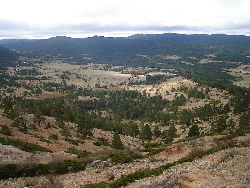
| Description | Vega del rio Tajo desde el Puerto el Portillo (1790 m), en el término de Guadalaviar. Se encuentra dentro de los Montes Universales, entre la Sierra de Albarracin y la Serranía de Cuenca. |
| Source | |
| Author | |
| Permission (Reusing this file) |
This file is licensed under the Creative Commons Attribution-Share Alike 3.0 Unported license.
|
File history
Click on a date/time to view the file as it appeared at that time.
| Date/Time | Thumbnail | Dimensions | User | Comment | |
|---|---|---|---|---|---|
| current | 15:27, 8 February 2011 | | 2,304 × 1,728 (546 KB) | Goyo Arriaga | Vega del rio Tajo desde el Puerto el Portillo (1790 m), en el término de Guadalaviar. |
File usage
The following pages on the English Wikipedia use this file (pages on other projects are not listed):
Global file usage
The following other wikis use this file:
- Usage on arz.wikipedia.org
- Usage on ceb.wikipedia.org
- Usage on eo.wikipedia.org
- Usage on es.wikipedia.org
- Usage on eu.wikipedia.org
- Usage on www.wikidata.org
- Usage on zh.wikipedia.org