No higher resolution available.
Usk_reservoir_dam_wall.jpg (640 × 480 pixels, file size: 94 KB, MIME type: image/jpeg)
| This is a file from the Wikimedia Commons. Information from its description page there is shown below. Commons is a freely licensed media file repository. You can help. |
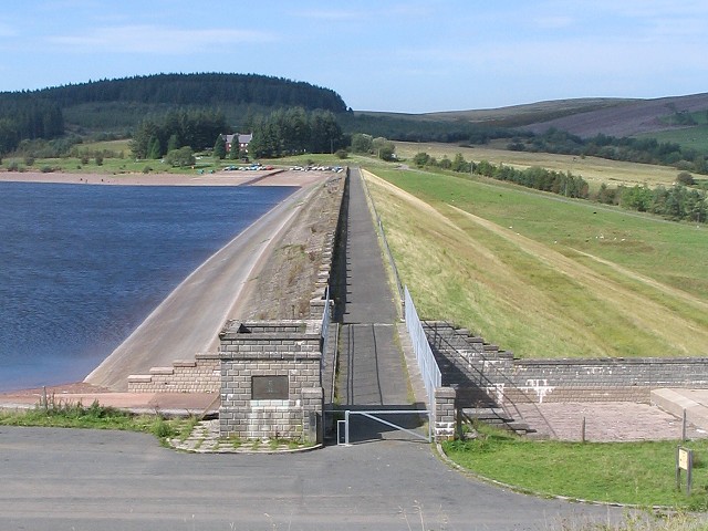
| Description | Dam wall of the Usk Reservoir. | ||
| Date | |||
| Source | Geograph project | ||
| Author | Nigel Davies | ||
| Permission (Reusing this file) |
This file is licensed under the Creative Commons Attribution-Share Alike 2.0 Generic license. Attribution: Nigel Davies
|

| Object location | | View this and other nearby images on: OpenStreetMap |
|---|
_region:GB-GBN_heading:337.00&language=en)
File history
Click on a date/time to view the file as it appeared at that time.
| Date/Time | Thumbnail | Dimensions | User | Comment | |
|---|---|---|---|---|---|
| current | 23:34, 13 January 2008 | | 640 × 480 (94 KB) | GeeJo | {{Information |Description=Dam wall of the Usk Reservoir. |Source=Geograph project |Date=9 September, 2006 |Author=Nigel Davies |Permission={{Geograph|236456|Nigel Davies}} |other_versions= }} Category:Usk Reservoir |
File usage
The following pages on the English Wikipedia use this file (pages on other projects are not listed):