
Size of this preview: 800 × 513 pixels. Other resolutions: 320 × 205 pixels | 640 × 411 pixels | 1,024 × 657 pixels | 1,280 × 821 pixels | 1,601 × 1,027 pixels.
Original file (1,601 × 1,027 pixels, file size: 63 KB, MIME type: image/png)
| This is a file from the Wikimedia Commons. Information from its description page there is shown below. Commons is a freely licensed media file repository. You can help. |
Summary
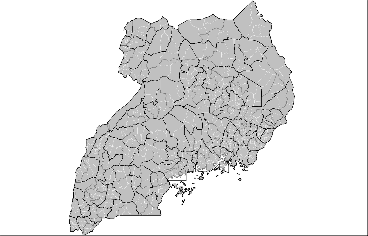
| Description | Map of the sub-counties of Uganda. |
| Date | 20 February 2008 (original upload date) |
| Source | No machine-readable source provided. Own work assumed (based on copyright claims). |
| Author | No machine-readable author provided. Rarelibra assumed (based on copyright claims). |
Licensing
| I, the copyright holder of this work, release this work into the public domain. This applies worldwide. In some countries this may not be legally possible; if so: I grant anyone the right to use this work for any purpose, without any conditions, unless such conditions are required by law. |
File history
Click on a date/time to view the file as it appeared at that time.
| Date/Time | Thumbnail | Dimensions | User | Comment | |
|---|---|---|---|---|---|
| current | 00:43, 22 February 2008 | | 1,601 × 1,027 (63 KB) | Mahahahaneapneap | pngcrushed |
| 15:02, 20 February 2008 |  | 1,601 × 1,027 (73 KB) | Rarelibra | Map of the sub-counties of Uganda. |
File usage
The following page uses this file:
Global file usage
The following other wikis use this file:
- Usage on hu.wikipedia.org
- Usage on nds.wikipedia.org