
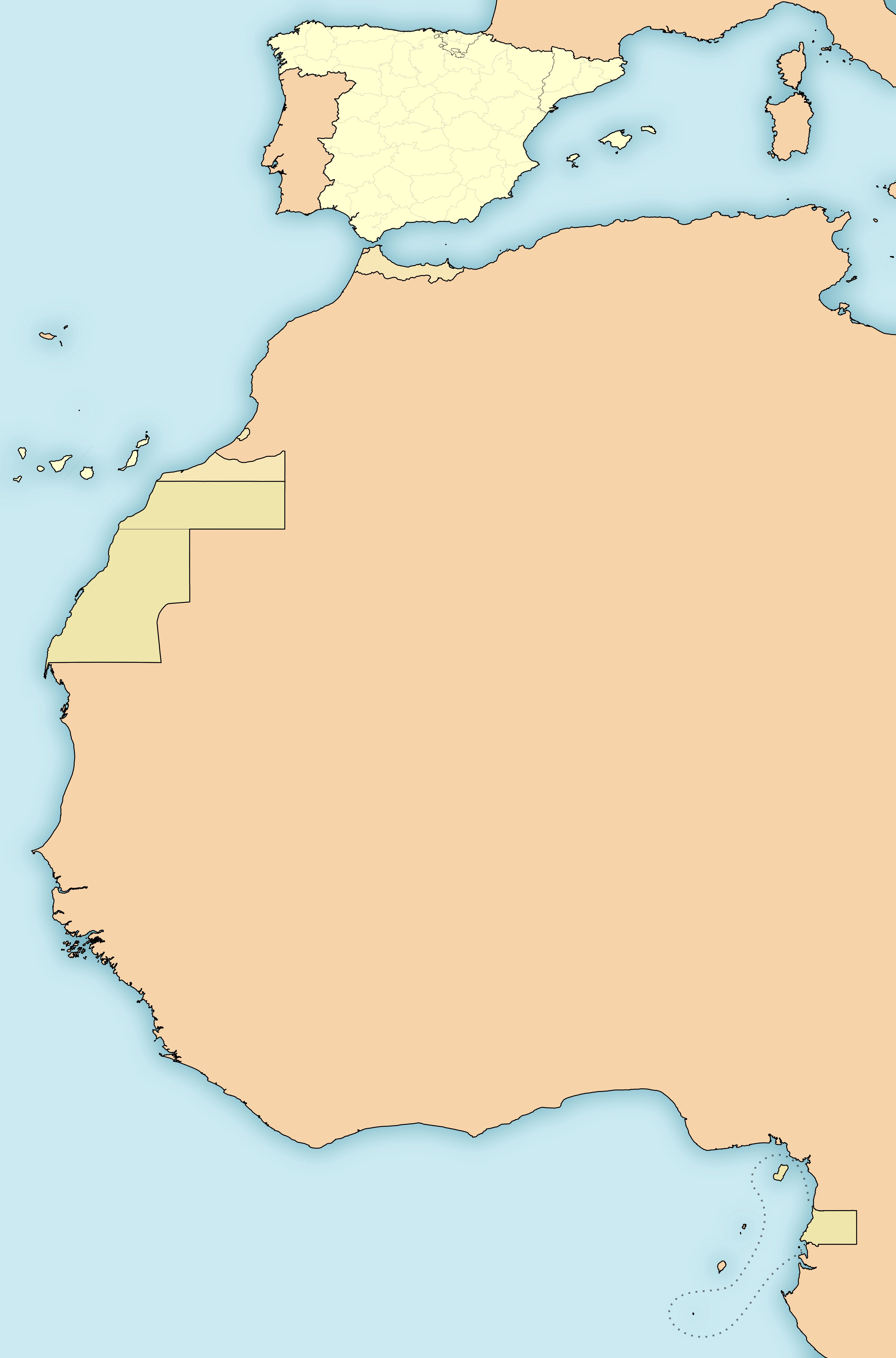
Size of this PNG preview of this SVG file: 396 × 600 pixels. Other resolutions: 158 × 240 pixels | 317 × 480 pixels | 507 × 768 pixels | 676 × 1,024 pixels | 1,352 × 2,048 pixels | 4,950 × 7,500 pixels.
Original file (SVG file, nominally 4,950 × 7,500 pixels, file size: 989 KB)
| This is a file from the Wikimedia Commons. Information from its description page there is shown below. Commons is a freely licensed media file repository. You can help. |
Summary
| Description |
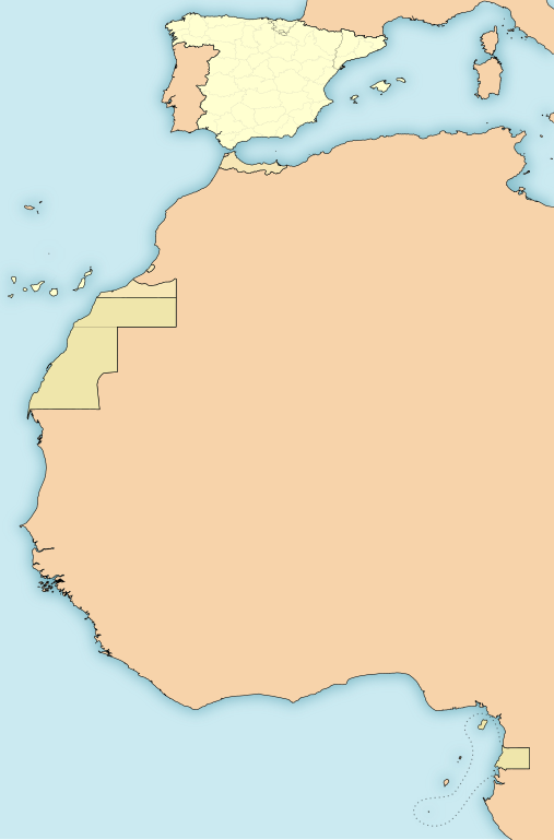
English: Map of the territories under goverment of the Second Spanish Republic (1931-1936/39)
Español: Mapa de los territorios bajo soberanía de la Segunda República Española (1931-1936/39)
Amarillo:
Anaranjado:
Beige:
|
| Date | |
| Source | Own work |
| Author | HansenBCN |
| Other versions |
Derivative works of this file: |
Licensing
I, the copyright holder of this work, hereby publish it under the following licenses:

|
Permission is granted to copy, distribute and/or modify this document under the terms of the GNU Free Documentation License, Version 1.2 or any later version published by the Free Software Foundation; with no Invariant Sections, no Front-Cover Texts, and no Back-Cover Texts. A copy of the license is included in the section entitled GNU Free Documentation License. |
This file is licensed under the Creative Commons Attribution-Share Alike Attribution-Share Alike 4.0 International, 3.0 Unported, 2.5 Generic, 2.0 Generic and 1.0 Generic license.
- You are free:
- to share – to copy, distribute and transmit the work
- to remix – to adapt the work
- Under the following conditions:
- attribution – You must give appropriate credit, provide a link to the license, and indicate if changes were made. You may do so in any reasonable manner, but not in any way that suggests the licensor endorses you or your use.
- share alike – If you remix, transform, or build upon the material, you must distribute your contributions under the same or compatible license as the original.
You may select the license of your choice.
W3C-validity not checked.
File history
Click on a date/time to view the file as it appeared at that time.
| Date/Time | Thumbnail | Dimensions | User | Comment | |
|---|---|---|---|---|---|
| current | 16:47, 15 November 2010 | | 4,950 × 7,500 (989 KB) | Ras67 | this is the right one |
| 16:44, 15 November 2010 |  | 2,000 × 3,030 (989 KB) | Ras67 | repaired | |
| 00:43, 15 November 2010 |  | 4,950 × 7,500 (1.71 MB) | Yuma | -frameborder | |
| 15:29, 15 June 2009 |  | 4,950 × 7,500 (1.71 MB) | HansenBCN | ajuste grosores | |
| 15:20, 15 June 2009 |  | 4,950 × 7,500 (1.71 MB) | HansenBCN | coloración; añadidas las fronteras administrativas provinciales | |
| 12:32, 15 June 2009 |  | 512 × 776 (894 KB) | HansenBCN | correccion de bordes y transparencia | |
| 12:30, 15 June 2009 |  | 512 × 776 (894 KB) | HansenBCN | {{Information |Description={{en|1=Map of the territories under goverment of the Second Spanish Republic (1931-1936/39)}} {{es|1=Mapa de los territorios bajo soberanía de la Segunda República Española (1931-1936/39) Rojo: *España (territorio peninsula |
File usage
The following pages on the English Wikipedia use this file (pages on other projects are not listed):
Global file usage
The following other wikis use this file:
- Usage on an.wikipedia.org
- Usage on azb.wikipedia.org
- Usage on bg.wikipedia.org
- Usage on ca.wikipedia.org
- Usage on cbk-zam.wikipedia.org
- Usage on es.wikipedia.org
- Usage on eu.wikipedia.org
- Usage on ext.wikipedia.org
- Usage on io.wikipedia.org
- Usage on pt.wikibooks.org
- Usage on uk.wikipedia.org