Size of this preview: 800 × 488 pixels. Other resolutions: 320 × 195 pixels | 640 × 390 pixels | 1,000 × 610 pixels.
Original file (1,000 × 610 pixels, file size: 109 KB, MIME type: image/jpeg)
| This is a file from the Wikimedia Commons. Information from its description page there is shown below. Commons is a freely licensed media file repository. You can help. |
Summary
| Description |
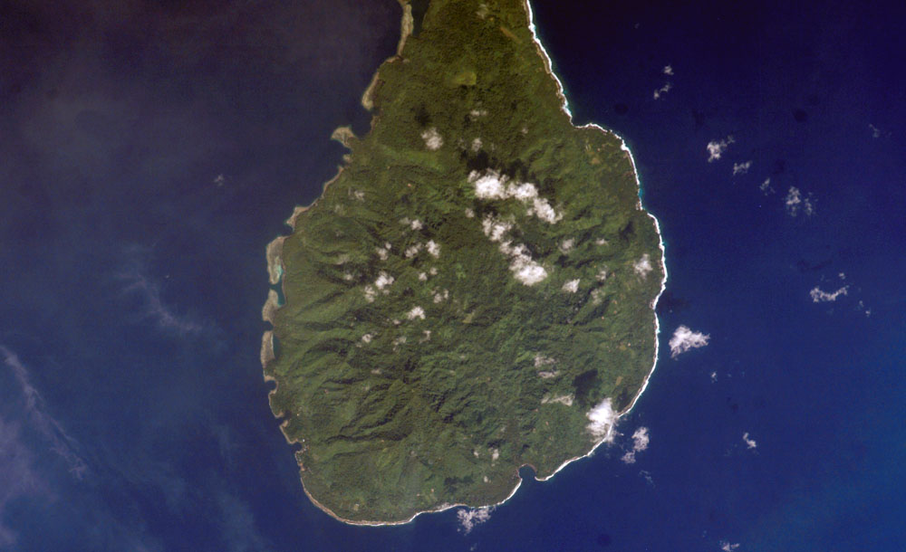
English: South part of Tabar island, PNG
Русский: Южная часть острова Табар, Папуа - Новая Гвинея |
| Date | |
| Source | http://www.oceandots.com/pacific/png/tabar-south.php |
| Author | earth sciences and image analysis laboratory |
Licensing
| This file is in the public domain in the United States because it was solely created by NASA. NASA copyright policy states that "NASA material is not protected by copyright unless noted". (See Template:PD-USGov, NASA copyright policy page or JPL Image Use Policy.) | ||
 |
Warnings:
|
File history
Click on a date/time to view the file as it appeared at that time.
| Date/Time | Thumbnail | Dimensions | User | Comment | |
|---|---|---|---|---|---|
| current | 07:47, 10 April 2010 | | 1,000 × 610 (109 KB) | Boodjoom85 | {{Information |Description={{en|1=South part of Tabar island, PNG}} {{ru|1=Южная часть острова Табар, Папуа - Новая Гвинея}} |Source=http://www.oceandots.com/pacific/png/tabar-south.php |Author=earth sciences and imag |
File usage
The following pages on the English Wikipedia use this file (pages on other projects are not listed):
Global file usage
The following other wikis use this file:
- Usage on ceb.wikipedia.org
- Usage on de.wikipedia.org
- Usage on it.wikipedia.org
- Usage on ka.wikipedia.org
- Usage on mrj.wikipedia.org
- Usage on nl.wikipedia.org
- Usage on pnb.wikipedia.org
- Usage on www.wikidata.org
- Usage on zh.wikipedia.org