.jpg)
.jpg&action=edit&redlink=1)

Size of this preview: 800 × 600 pixels. Other resolutions: 320 × 240 pixels | 640 × 480 pixels | 1,024 × 768 pixels | 1,280 × 960 pixels | 2,560 × 1,920 pixels | 3,648 × 2,736 pixels.
Original file (3,648 × 2,736 pixels, file size: 3.84 MB, MIME type: image/jpeg)
| This is a file from the Wikimedia Commons. Information from its description page there is shown below. Commons is a freely licensed media file repository. You can help. |
.jpg)
Summary
| Description |
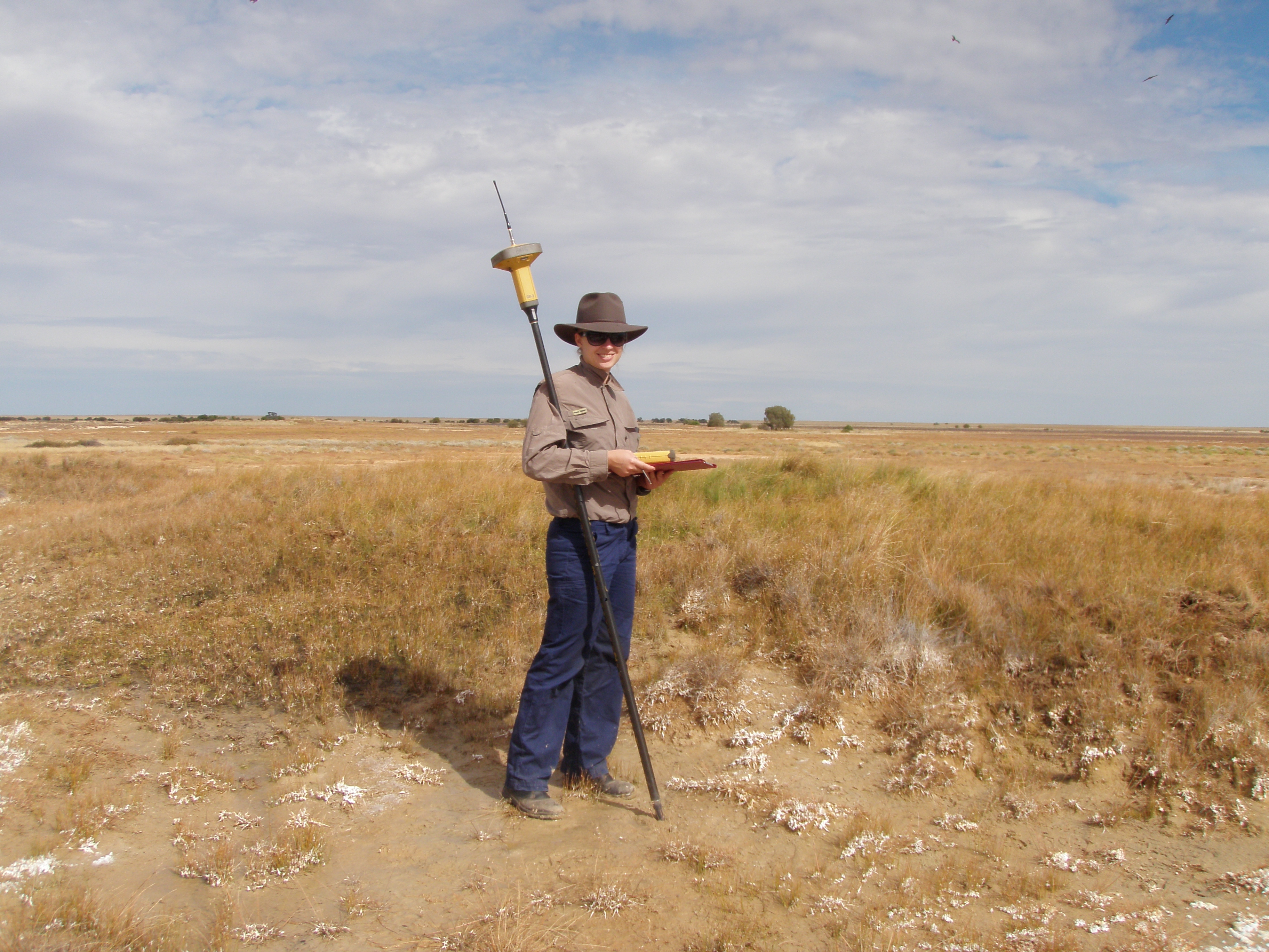
English: Springs extent mapping using differential GPS Elizabeth Spings Western Qld - Great Artesian Basin Springs Monitoring Program |
| Date | |
| Source | https://wetlandinfo.ehp.qld.gov.au/resources/static/images/assessment/monitoring/current-and-future-monitoring/great-artesian-basin-springs/springs_extent-mapping-using-differential-gps-elizabeth-spings-western-qld.jpg |
| Author | DSITIA |
Licensing
This file is licensed under the Creative Commons Attribution 3.0 Australia license.
- You are free:
- to share – to copy, distribute and transmit the work
- to remix – to adapt the work
- Under the following conditions:
- attribution – You must give appropriate credit, provide a link to the license, and indicate if changes were made. You may do so in any reasonable manner, but not in any way that suggests the licensor endorses you or your use.

File history
Click on a date/time to view the file as it appeared at that time.
| Date/Time | Thumbnail | Dimensions | User | Comment | |
|---|---|---|---|---|---|
| current | 00:35, 6 January 2017 | | 3,648 × 2,736 (3.84 MB) | Stickee | User created page with UploadWizard |
File usage
The following pages on the English Wikipedia use this file (pages on other projects are not listed):
.jpg)