
Size of this PNG preview of this SVG file: 800 × 568 pixels. Other resolutions: 320 × 227 pixels | 640 × 454 pixels | 1,024 × 726 pixels | 1,280 × 908 pixels | 2,560 × 1,816 pixels | 2,354 × 1,670 pixels.
Original file (SVG file, nominally 2,354 × 1,670 pixels, file size: 993 KB)
| This is a file from the Wikimedia Commons. Information from its description page there is shown below. Commons is a freely licensed media file repository. You can help. |
Summary
| Description |
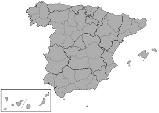
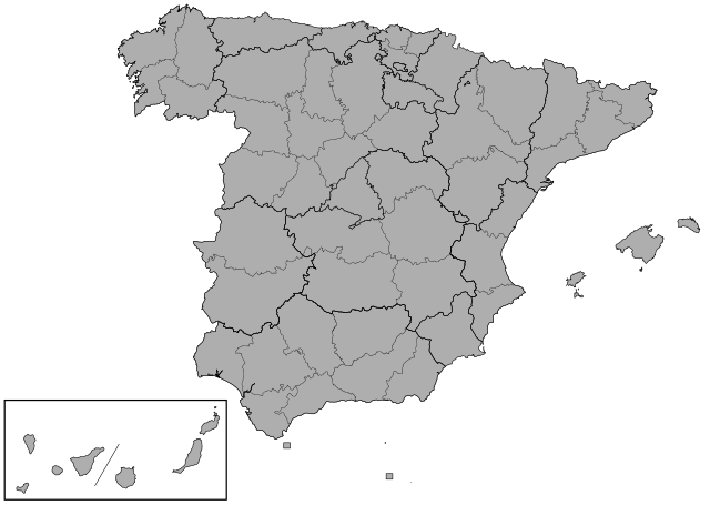
English: Map showing the provinces of Spain to replace File:SpainProvinceMapBlank.png
Derivative of File:España-loc.svg (Miguillen) |
| Date | |
| Source | Own work |
| Author | RaviC |
Licensing
I, the copyright holder of this work, hereby publish it under the following license:
This file is licensed under the Creative Commons Attribution-Share Alike 4.0 International license.
- You are free:
- to share – to copy, distribute and transmit the work
- to remix – to adapt the work
- Under the following conditions:
- attribution – You must give appropriate credit, provide a link to the license, and indicate if changes were made. You may do so in any reasonable manner, but not in any way that suggests the licensor endorses you or your use.
- share alike – If you remix, transform, or build upon the material, you must distribute your contributions under the same or compatible license as the original.
File history
Click on a date/time to view the file as it appeared at that time.
| Date/Time | Thumbnail | Dimensions | User | Comment | |
|---|---|---|---|---|---|
| current | 18:47, 22 July 2018 | | 2,354 × 1,670 (993 KB) | RaviC | separated Las Palmas and Santa Cruz de Tenerife vectors into different objects |
| 10:24, 2 June 2018 |  | 2,354 × 1,670 (991 KB) | RaviC | Box for the Canaries | |
| 10:21, 2 June 2018 |  | 2,354 × 1,670 (991 KB) | RaviC | User created page with UploadWizard |
File usage
The following pages on the English Wikipedia use this file (pages on other projects are not listed):