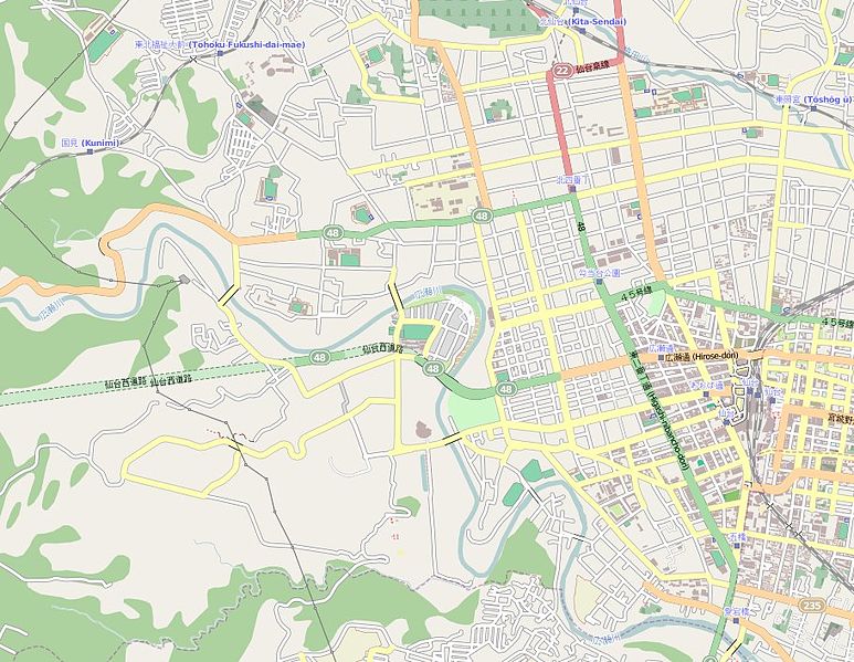
Size of this preview: 773 × 599 pixels. Other resolutions: 310 × 240 pixels | 619 × 480 pixels | 912 × 707 pixels.
Original file (912 × 707 pixels, file size: 178 KB, MIME type: image/jpeg)
| This is a file from the Wikimedia Commons. Information from its description page there is shown below. Commons is a freely licensed media file repository. You can help. |
Summary
| Description |
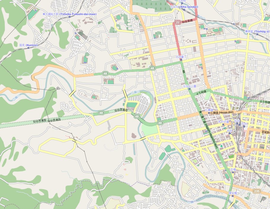
English: Map of Sendai, Miyagi-ken, Japan
Français : carte de Sendai, préfecture de Miyagi, Japon |
||||||||||||
| Date | |||||||||||||
| Source | Map:OpenStreetMap | ||||||||||||
| Author | Map:OpenStreetMap contributors | ||||||||||||
| Permission (Reusing this file) |
|
Licensing
This file is licensed under the Creative Commons Attribution-Share Alike 3.0 Unported license.
- You are free:
- to share – to copy, distribute and transmit the work
- to remix – to adapt the work
- Under the following conditions:
- attribution – You must give appropriate credit, provide a link to the license, and indicate if changes were made. You may do so in any reasonable manner, but not in any way that suggests the licensor endorses you or your use.
- share alike – If you remix, transform, or build upon the material, you must distribute your contributions under the same or compatible license as the original.
File history
Click on a date/time to view the file as it appeared at that time.
| Date/Time | Thumbnail | Dimensions | User | Comment | |
|---|---|---|---|---|---|
| current | 19:56, 30 April 2011 | | 912 × 707 (178 KB) | XIIIfromTOKYO | {{Information |Description ={{en|1=Map of Sendai, Miyagi-ken, Japan}} {{fr|1=carte de Sendai, préfecture de Miyagi, Japon}} |Source =Map:OpenStreetMap |Author =Map:OpenStreetMap contributors |Date =20110430 |Permission ={ |
File usage
The following pages on the English Wikipedia use this file (pages on other projects are not listed):
Global file usage
The following other wikis use this file:
- Usage on az.wikipedia.org
- Usage on fr.wikipedia.org
- Usage on ja.wikipedia.org
- 評定河原橋
- 仙台市博物館
- 上杉
- 国分町 (仙台市)
- 宮城県工業高等学校
- 一番町 (仙台市)
- 宮城縣護國神社
- 宮城県スポーツセンター
- 八木山ベニーランド
- 仙台市営モノレール南西線
- 青葉神社
- 瑞鳳寺
- 大崎八幡宮
- 五橋
- 支倉町
- 本町 (仙台市)
- 愛宕神社 (仙台市)
- 大町 (仙台市)
- 片平 (仙台市)
- 榴岡
- 立町 (仙台市)
- 錦町 (仙台市)
- 東北大学
- 仙岳院
- 櫻岡大神宮
- 荒町 (仙台市)
- 鹿落観音堂
- 昌傳庵
- 本願寺仙台別院
- 阿弥陀寺 (仙台市)
- 満願寺 (仙台市)
- 川内三十人町
- モジュール:Location map/data/Sendai
- ナノテラス
- モジュール:Location map/data/Sendai/doc
- Usage on ru.wikipedia.org
- Usage on sv.wikipedia.org
- Usage on zh.wikipedia.org