Original file (3,000 × 2,000 pixels, file size: 4.8 MB, MIME type: image/jpeg)
| This is a file from the Wikimedia Commons. Information from its description page there is shown below. Commons is a freely licensed media file repository. You can help. |
Summary
| Description |
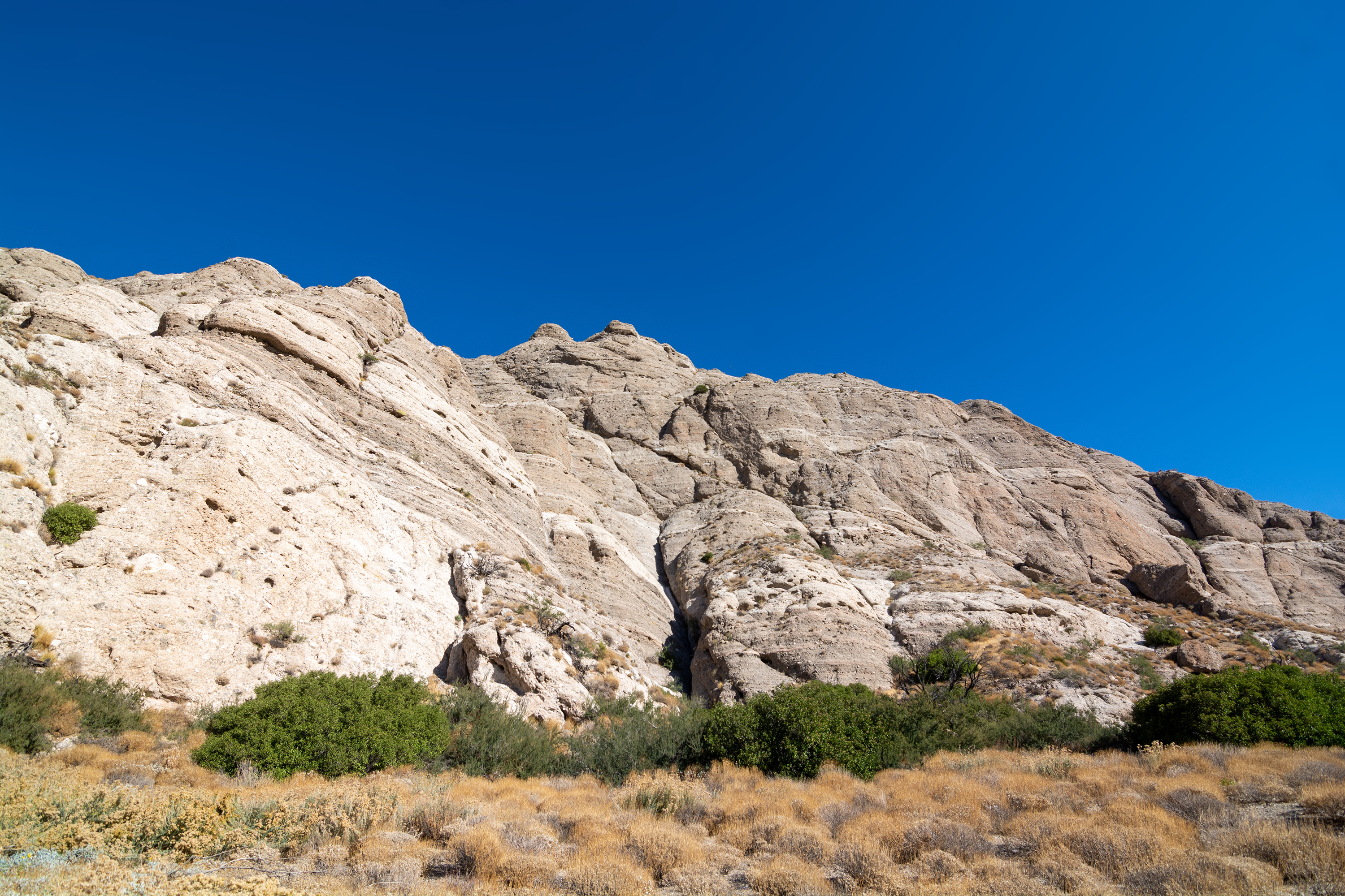
I went for a wander intending to visit Sand To Snow National Monument, but found myself in a hike-in only situation controlled by The Wildlands Conservancy, and I wasn't geared for a long hike that day, so I spent some time in The Wildlands Conservancy before setting off to the far more accessible Joshua Tree National Park. Sand to Snow National Monument is a U.S. National Monument located in San Bernardino County and into northern Riverside County, Southern California. It protects diverse montane and desert habitats of the San Bernardino Mountains, southern Mojave Desert, and northwestern Colorado Desert. The national monument protects a total of 154,000 acres (62,000 ha), with the Bureau of Land Management (BLM) managing 83,000 acres (34,000 ha) acres, and the USFS−San Bernardino National Forest managing 71,000 acres (29,000 ha). It extends from around 1,000 feet (300 m) on the Coachella Valley desert floor up to over 11,000 feet (3,400 m) in the San Bernardino Mountains. Over 100,000 acres (40,000 ha) of the national monument are within the San Gorgonio Wilderness area, which was designated by Congress in 1964. An eastern border in the Little San Bernardino Mountains abuts Joshua Tree National Park. A separate section expands the Bighorn Mountain Wilderness area to the northeast. 30 miles (48 km) of the Pacific Crest National Scenic Trail pass through the monument. The headwaters of the Santa Ana River, Whitewater River, Morongo Creek, and San Gorgonio River are within it. The park protects a significant wildlife corridor and landscape linkage between the San Bernardino National Forest/San Gorgonio Wilderness area, Joshua Tree National Park, and Bighorn Mountain Wilderness area. Joshua Tree National Park is an American national park in southeastern California, east of Los Angeles and San Bernardino, near Palm Springs. The park is named for the Joshua trees (Yucca brevifolia) native to the Mojave Desert. Originally declared a national monument in 1936, Joshua Tree was redesignated as a national park in 1994 when the U.S. Congress passed the California Desert Protection Act. Encompassing a total of 790,636 acres (1,235.4 sq mi; 3,199.6 km2)—an area slightly larger than the state of Rhode Island—the park includes 429,690 acres (671.4 sq mi; 1,738.9 km2) of designated wilderness. Straddling the border between San Bernardino County and Riverside County, the park includes parts of two deserts, each an ecosystem whose characteristics are determined primarily by elevation: the higher Mojave Desert and the lower Colorado Desert. The Little San Bernardino Mountains traverse the southwest edge of the park. Source: Wikipedia |
| Date | |
| Source | Sand to Snow to Joshua Tree |
| Author | Matthew Dillon from Hollywood, CA, USA |
| Camera location | | View this and other nearby images on: OpenStreetMap |
|---|
Licensing
- You are free:
- to share – to copy, distribute and transmit the work
- to remix – to adapt the work
- Under the following conditions:
- attribution – You must give appropriate credit, provide a link to the license, and indicate if changes were made. You may do so in any reasonable manner, but not in any way that suggests the licensor endorses you or your use.
| This image was originally posted to Flickr by RuggyBearLA at https://flickr.com/photos/21874566@N07/49927923621. It was reviewed on 24 May 2020 by FlickreviewR 2 and was confirmed to be licensed under the terms of the cc-by-2.0. |
File history
Click on a date/time to view the file as it appeared at that time.
| Date/Time | Thumbnail | Dimensions | User | Comment | |
|---|---|---|---|---|---|
| current | 22:21, 24 May 2020 | | 3,000 × 2,000 (4.8 MB) | Tillman | Transferred from Flickr via #flickr2commons |
File usage
Global file usage
The following other wikis use this file:
- Usage on fr.wikipedia.org