
Size of this PNG preview of this SVG file: 800 × 529 pixels. Other resolutions: 320 × 212 pixels | 640 × 423 pixels | 1,024 × 678 pixels | 1,280 × 847 pixels | 2,560 × 1,694 pixels | 1,587 × 1,050 pixels.
Original file (SVG file, nominally 1,587 × 1,050 pixels, file size: 190 KB)
| This is a file from the Wikimedia Commons. Information from its description page there is shown below. Commons is a freely licensed media file repository. You can help. |
Summary
| Description |
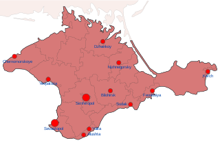
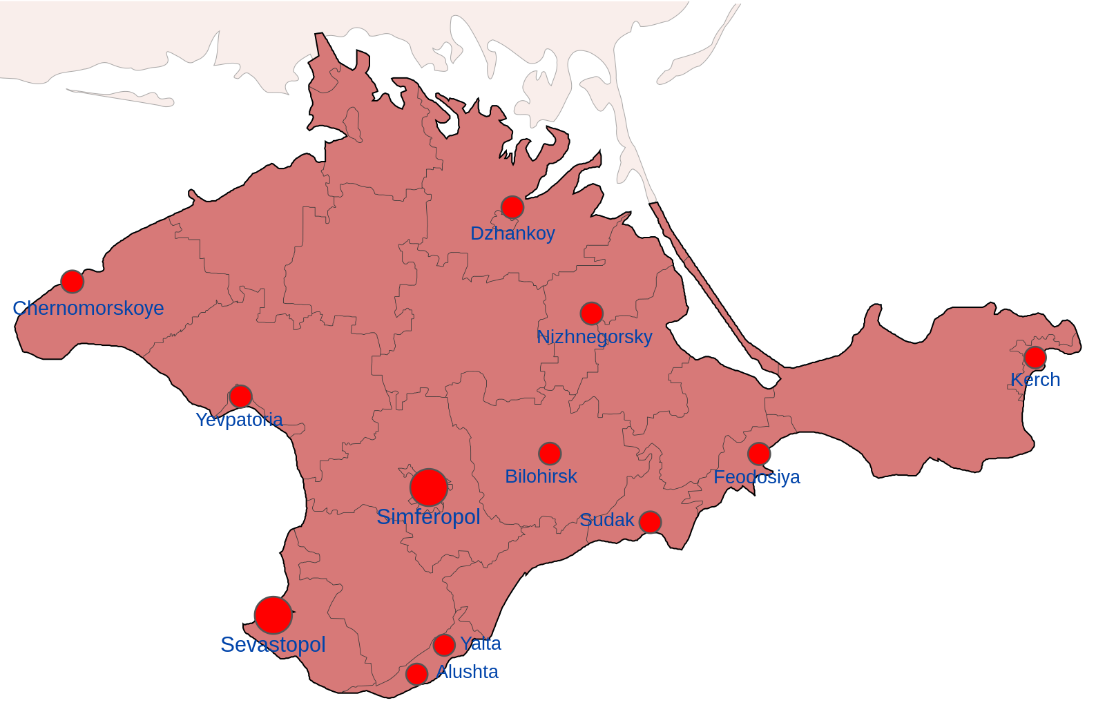
English: Map showing the various zones of Russian Occupation of Crimea:
= Ukrainian Controlled = Deoccupied by Ukraine = Russian occupied = Russian Controlled since 2014 |
| Date | |
| Source | Own work |
| Author | Nahabino |
| Other versions |
[]
|


.png)


.png)


Licensing
I, the copyright holder of this work, hereby publish it under the following license:
This file is licensed under the Creative Commons Attribution-Share Alike 4.0 International license.
- You are free:
- to share – to copy, distribute and transmit the work
- to remix – to adapt the work
- Under the following conditions:
- attribution – You must give appropriate credit, provide a link to the license, and indicate if changes were made. You may do so in any reasonable manner, but not in any way that suggests the licensor endorses you or your use.
- share alike – If you remix, transform, or build upon the material, you must distribute your contributions under the same or compatible license as the original.
File history
Click on a date/time to view the file as it appeared at that time.
| Date/Time | Thumbnail | Dimensions | User | Comment | |
|---|---|---|---|---|---|
| current | 23:15, 6 October 2022 | | 1,587 × 1,050 (190 KB) | Nahabino | Correct Nizhnegorsky naming |
| 01:00, 5 October 2022 |  | 1,587 × 1,050 (190 KB) | Nahabino | test with transparent water | |
| 00:57, 5 October 2022 |  | 1,549 × 1,026 (203 KB) | Nahabino | Uploaded own work with UploadWizard |
File usage
The following pages on the English Wikipedia use this file (pages on other projects are not listed):
Global file usage
The following other wikis use this file:
- Usage on be-tarask.wikipedia.org
- Usage on be.wikipedia.org
- Usage on fi.wikipedia.org
- Usage on hr.wikipedia.org
- Usage on id.wikipedia.org
- Usage on ko.wikipedia.org
- Usage on lv.wikipedia.org
- Usage on uk.wikipedia.org
- Usage on www.wikidata.org
- Usage on zh.wikipedia.org