Size of this preview: 800 × 538 pixels. Other resolutions: 320 × 215 pixels | 640 × 430 pixels | 1,024 × 688 pixels | 1,280 × 860 pixels | 2,062 × 1,386 pixels.
Original file (2,062 × 1,386 pixels, file size: 503 KB, MIME type: image/jpeg)
| This is a file from the Wikimedia Commons. Information from its description page there is shown below. Commons is a freely licensed media file repository. You can help. |
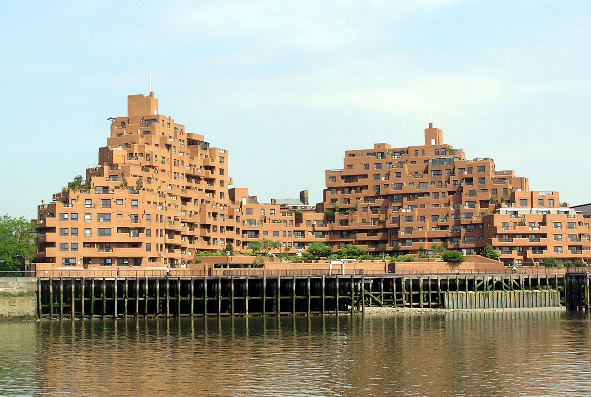
Free Trade Wharf, a development of 208 flats and two commercial units located on the North bank of the River Thames approximately one mile East of Tower Bridge. 340 The Highway, London Borough of Tower Hamlets E1W 3ET
- Origional description Red brick flats in central London, on the north bank of the Thames (a more detailed location is not known)
Photographed by Adrian Pingstone in June 2005 and released to the public domain.
| This work has been released into the public domain by its author, Arpingstone. This applies worldwide. In some countries this may not be legally possible; if so: |
| Camera location | | View this and other nearby images on: OpenStreetMap |
|---|
File history
Click on a date/time to view the file as it appeared at that time.
| Date/Time | Thumbnail | Dimensions | User | Comment | |
|---|---|---|---|---|---|
| current | 19:26, 24 June 2005 | | 2,062 × 1,386 (503 KB) | Arpingstone | London flats |
File usage
The following pages on the English Wikipedia use this file (pages on other projects are not listed):
Global file usage
The following other wikis use this file:
- Usage on fr.wikipedia.org
- Usage on hy.wikipedia.org
- Usage on mn.wikipedia.org
- Usage on ms.wikipedia.org
- Usage on ta.wikipedia.org
- Usage on tr.wikipedia.org
- Usage on zh.wikipedia.org