Size of this preview: 468 × 599 pixels. Other resolutions: 187 × 240 pixels | 375 × 480 pixels | 599 × 768 pixels | 1,125 × 1,441 pixels.
Original file (1,125 × 1,441 pixels, file size: 447 KB, MIME type: image/jpeg)
| This is a file from the Wikimedia Commons. Information from its description page there is shown below. Commons is a freely licensed media file repository. You can help. |
Summary
| Description |
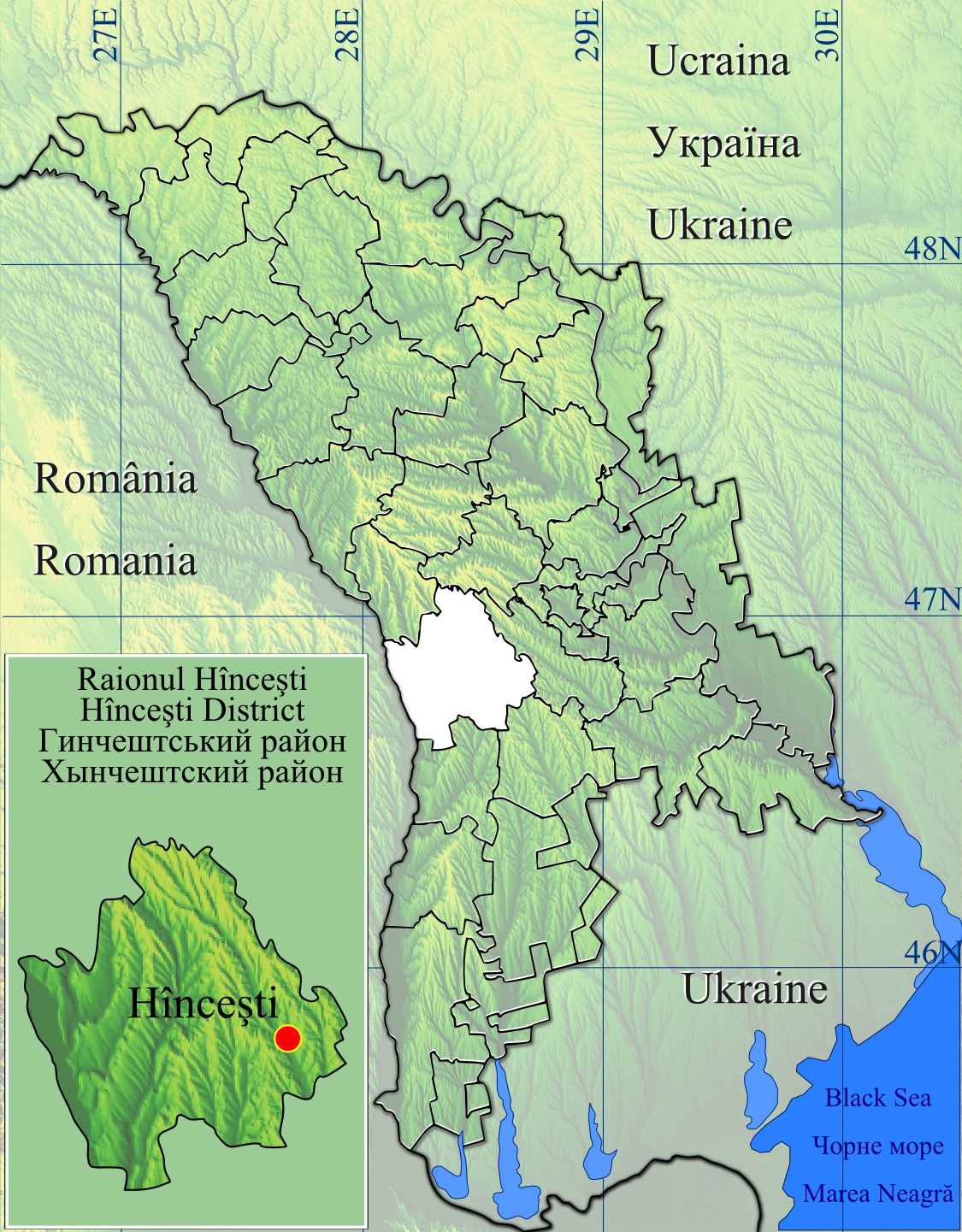
English: Raionul Hincesti location map.
|
| Date | |
| Source | Topographic data SRTM from NASA and World Imagery & 3DEM & Inkscape |
| Author | Asybaris01 |
| Other versions |
|


Licensing
| This file is in the public domain in the United States because it was solely created by NASA. NASA copyright policy states that "NASA material is not protected by copyright unless noted". (See Template:PD-USGov, NASA copyright policy page or JPL Image Use Policy.) | ||
 |
Warnings:
|
File history
Click on a date/time to view the file as it appeared at that time.
| Date/Time | Thumbnail | Dimensions | User | Comment | |
|---|---|---|---|---|---|
| current | 16:41, 16 February 2012 | | 1,125 × 1,441 (447 KB) | Asybaris01 | new |
| 20:42, 30 January 2012 |  | 1,349 × 1,731 (551 KB) | Asybaris01 | {{Information |Description ={{en|1=Raionul Hincesti location map.}} |Source =Topographic data SRTM from NASA and World Imagery & 3DEM & Inkscape |Author =Asybaris01 |Date =jan 2012 |Permission = |other_ |
File usage
The following pages on the English Wikipedia use this file (pages on other projects are not listed):
- Boghiceni
- Bozieni, Hîncești
- Bujor, Hîncești
- Buțeni
- Bălceana
- Caracui
- Cioara, Hîncești
- Cotul Morii
- Crasnoarmeiscoe
- Călmățui, Hîncești
- Cățeleni
- Dancu
- Drăgușenii Noi
- Fîrlădeni, Hîncești
- Hîncești District
- Ivanovca, Hîncești
- Mereșeni
- Mirești
- Negrea
- Obileni
- Onești, Hîncești
- Pașcani, Hîncești
- Pervomaiscoe, Hîncești
- Secăreni
- Sofia, Hîncești
- Stolniceni, Hîncești
- Sărata-Galbenă
- Voinescu
- Șipoteni
- Module:Location map/data/Moldova Hîncești
- Module:Location map/data/Moldova Hîncești/doc
Global file usage
The following other wikis use this file:
- Usage on ar.wikipedia.org
- Usage on bg.wikipedia.org
- Usage on ca.wikipedia.org
- Usage on ceb.wikipedia.org
- Usage on ja.wikipedia.org
- Usage on lmo.wikipedia.org
- Usage on no.wikipedia.org
- Usage on ro.wikipedia.org
- Hîncești
- Boghiceni, Hîncești
- Brătianovca, Hîncești
- Chetroșeni, Hîncești
- Coroliovca, Hîncești
- Feteasca, Hîncești
- Marchet, Hîncești
- Sărata-Mereșeni, Hîncești
- Strîmbeni, Hîncești
- Bobeica, Hîncești
- Bozieni, Hîncești
- Bujor, Hîncești
- Buțeni, Hîncești
- Caracui, Hîncești
- Cărpineni, Hîncești
- Cioara, Hîncești
- Ciuciuleni, Hîncești
- Cotul Morii, Hîncești
- Crasnoarmeiscoe, Hîncești
- Dancu, Hîncești
- Drăgușenii Noi, Hîncești
- Lăpușna, Hîncești
- Logănești, Hîncești
- Mereșeni, Hîncești
- Negrea, Hîncești
- Nemțeni, Hîncești
- Pașcani, Hîncești
- Sărata-Galbenă, Hîncești
- Sărăteni, Hîncești
- Voinescu, Hîncești
- Bălceana, Hîncești
- Cărpineanca, Hîncești
- Cățeleni, Hîncești
- Dahnovici, Hîncești
- Drăgușeni, Hîncești
- Dubovca, Hîncești
- Horjești, Hîncești
- Horodca, Hîncești
- Mirești, Hîncești
- Obileni, Hîncești
- Pereni, Hîncești
View more global usage of this file.