
Size of this preview: 800 × 568 pixels. Other resolutions: 320 × 227 pixels | 640 × 454 pixels | 1,024 × 726 pixels | 1,280 × 908 pixels | 2,364 × 1,677 pixels.
Original file (2,364 × 1,677 pixels, file size: 149 KB, MIME type: image/png)
| This is a file from the Wikimedia Commons. Information from its description page there is shown below. Commons is a freely licensed media file repository. You can help. |
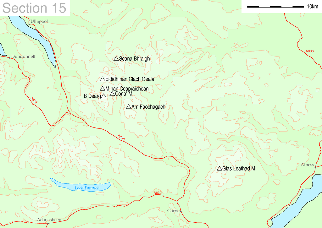
| Description | Map of Munro hills in SMC section 15 | |||||
| Source |
These maps are created by my own Perl scripts from public domain sources. The list of hills and the grid references are from Wikipedia. The coastline is derived from data from the US Govt. "Coast Line Extractor" (web). The contours are derived from data from US Govt. "SRTM Digital Elevation Model" (web). |
|||||
| Author | Thruston | |||||
| Permission (Reusing this file) |
|

File history
Click on a date/time to view the file as it appeared at that time.
| Date/Time | Thumbnail | Dimensions | User | Comment | |
|---|---|---|---|---|---|
| current | 18:28, 18 June 2006 | | 2,364 × 1,677 (149 KB) | Patricia.fidi | |
| 18:08, 18 June 2006 |  | 2,367 × 1,677 (150 KB) | Patricia.fidi | ||
| 22:07, 10 May 2005 |  | 2,395 × 1,712 (152 KB) | Thruston | Map of Munro hills in SMC section 15 |
File usage
The following pages on the English Wikipedia use this file (pages on other projects are not listed):
Global file usage
The following other wikis use this file:
- Usage on cy.wikipedia.org
- Usage on de.wikipedia.org
- Usage on nl.wikipedia.org
- Usage on no.wikipedia.org