.svg)
.svg&action=edit&redlink=1)

Size of this PNG preview of this SVG file: 512 × 472 pixels. Other resolutions: 260 × 240 pixels | 521 × 480 pixels | 833 × 768 pixels | 1,111 × 1,024 pixels | 2,222 × 2,048 pixels.
Original file (SVG file, nominally 512 × 472 pixels, file size: 639 KB)
| This is a file from the Wikimedia Commons. Information from its description page there is shown below. Commons is a freely licensed media file repository. You can help. |
.svg)
Summary
| Description |
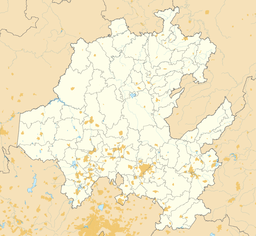
English: Location map of Hidalgo with the urban areas.
EPSG:3857 projection, Geographic limits of the map:
|
| Date | |
| Source |
|
| Author | Addicted04 |
Licensing
I, the copyright holder of this work, hereby publish it under the following license:
This file is licensed under the Creative Commons Attribution-Share Alike 4.0 International license.
- You are free:
- to share – to copy, distribute and transmit the work
- to remix – to adapt the work
- Under the following conditions:
- attribution – You must give appropriate credit, provide a link to the license, and indicate if changes were made. You may do so in any reasonable manner, but not in any way that suggests the licensor endorses you or your use.
- share alike – If you remix, transform, or build upon the material, you must distribute your contributions under the same or compatible license as the original.
File history
Click on a date/time to view the file as it appeared at that time.
| Date/Time | Thumbnail | Dimensions | User | Comment | |
|---|---|---|---|---|---|
| current | 14:21, 22 June 2016 | | 512 × 472 (639 KB) | Addicted04 | File size |
| 14:41, 21 June 2016 |  | 512 × 472 (1.14 MB) | Addicted04 | Coord | |
| 15:46, 5 June 2016 |  | 512 × 497 (1.12 MB) | Addicted04 | User created page with UploadWizard |
File usage
The following pages on the English Wikipedia use this file (pages on other projects are not listed):
Global file usage
The following other wikis use this file:
- Usage on es.wikipedia.org
- Tula de Allende
- Mineral del Monte
- Pachuca de Soto
- Tulancingo
- Universidad Autónoma del Estado de Hidalgo
- Acatlán (Hidalgo)
- Ixmiquilpan
- Actopan (Hidalgo)
- Huejutla
- Tollan-Xicocotitlan
- Zapotlán de Juárez
- Acayuca
- El Buena
- Anexo:Patrimonio de la Humanidad en México
- Huasca de Ocampo
- Molango
- Ciudad Sahagún
- Tepeapulco
- San Miguel Jigui
- Buena Vista (Hidalgo)
- Aeropuerto Nacional Ingeniero Juan Guillermo Villasana
- Santa María Xoxoteco
- Tolcayuca
- Teocalco (Tlaxcoapan)
- Santa María Catzotipan
- Atlaltipa Tecolotitla
- San Isidro (Atlapexco)
- Atlapexco
- Cardonal
- Cerritos (Cardonal)
- Tepeji del Río
- Tasquillo
- Epazoyucan
- Mineral del Chico
- Progreso (Hidalgo)
- Pachuquilla
- Tlanchinol
- Batalla de Ixmiquilpan
- Nicolás Flores (Hidalgo)
- Zempoala (Hidalgo)
- San Agustín Tlaxiaca
- San Miguel Cerezo
- Barrio la Camelia
- El Huixmí
- Colonia Santa Gertrudis
- Santiago Tlapacoya
- San Antonio Tezoquipan
- Mixquiahuala
- Munitepec de Madero
- San Salvador (Hidalgo)
View more global usage of this file.
.svg)
.svg)