Size of this preview: 659 × 599 pixels. Other resolutions: 264 × 240 pixels | 528 × 480 pixels | 844 × 768 pixels | 1,126 × 1,024 pixels | 1,669 × 1,518 pixels.
Original file (1,669 × 1,518 pixels, file size: 95 KB, MIME type: image/png)
| This is a file from the Wikimedia Commons. Information from its description page there is shown below. Commons is a freely licensed media file repository. You can help. |

|
File:Political divisions of Mexico 1823 (location map scheme).svg is a vector version of this file. It should be used in place of this PNG file when not inferior.
File:Mapa Mexico 1823.PNG → File:Political divisions of Mexico 1823 (location map scheme).svg
For more information, see Help:SVG. |
.svg) |
Summary
| Description |
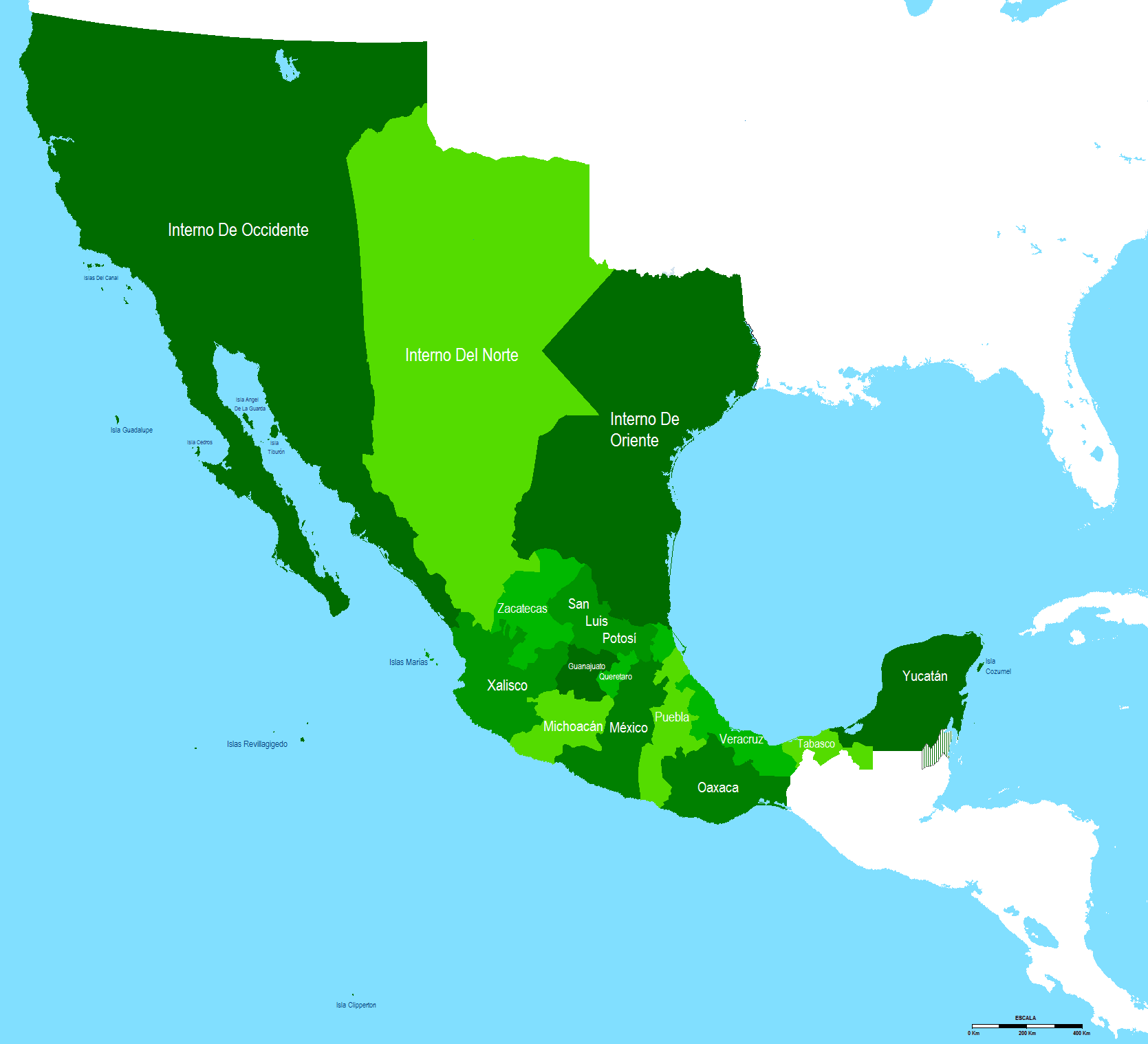
English: Map of the period between the end of the first Mexican empire and the federal republic of the United Mexican States
Español: Mapa del periodo entre el fin del primer imperio mexicano y la republica federal de los Estados Unidos Mexicanos |
| Date | |
| Source | Own work |
| Author | Hpav7 |
Licensing
| I, the copyright holder of this work, release this work into the public domain. This applies worldwide. In some countries this may not be legally possible; if so: I grant anyone the right to use this work for any purpose, without any conditions, unless such conditions are required by law. |
File history
Click on a date/time to view the file as it appeared at that time.
| Date/Time | Thumbnail | Dimensions | User | Comment | |
|---|---|---|---|---|---|
| current | 06:15, 21 September 2011 | | 1,669 × 1,518 (95 KB) | Hpav7 | ajustes |
| 01:05, 2 March 2011 |  | 1,669 × 1,518 (94 KB) | Hpav7 | Cambio de Fronteras | |
| 08:39, 5 January 2010 |  | 1,669 × 1,518 (94 KB) | Hpav7 | {{Information |Description={{en|1=Map of the period between the end of the first Mexican empire and the federal republic of the United Mexican States}} {{es|1=Mapa del periodo entre el fin del primer imperio mexicano y la republica federal de los Estados |
File usage
The following pages on the English Wikipedia use this file (pages on other projects are not listed):
Global file usage
The following other wikis use this file:
- Usage on es.wikipedia.org
- Usage on fr.wikipedia.org