
Size of this PNG preview of this SVG file: 599 × 600 pixels. Other resolutions: 240 × 240 pixels | 480 × 480 pixels | 767 × 768 pixels | 1,023 × 1,024 pixels | 2,046 × 2,048 pixels | 1,030 × 1,031 pixels.
Original file (SVG file, nominally 1,030 × 1,031 pixels, file size: 6.48 MB)
| This is a file from the Wikimedia Commons. Information from its description page there is shown below. Commons is a freely licensed media file repository. You can help. |
Summary
| Description |
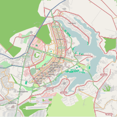
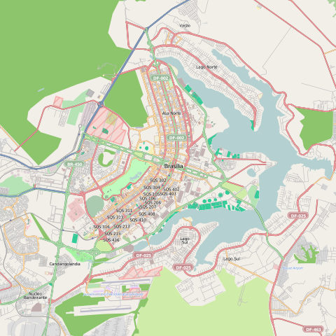
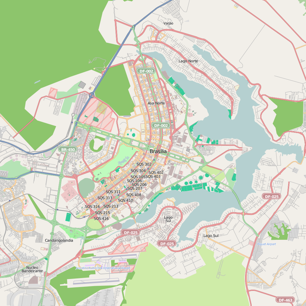
Português: Mapa de Brasília e arredores.
English: Map of Brasília and surrounding areas. |
| Date | |
| Source | http://www.openstreetmap.org/ |
| Author | OpenStreetMap |
Licensing
This file is licensed under the Creative Commons Attribution 3.0 Unported license.
- You are free:
- to share – to copy, distribute and transmit the work
- to remix – to adapt the work
- Under the following conditions:
- attribution – You must give appropriate credit, provide a link to the license, and indicate if changes were made. You may do so in any reasonable manner, but not in any way that suggests the licensor endorses you or your use.
File history
Click on a date/time to view the file as it appeared at that time.
| Date/Time | Thumbnail | Dimensions | User | Comment | |
|---|---|---|---|---|---|
| current | 03:16, 12 August 2012 | | 1,030 × 1,031 (6.48 MB) | Felipe Menegaz | =={{int:filedesc}}== {{Information |description= {{en|1=Map of Brasília, Brazil.}} {{pt|1=Mapa de Brasília, Brasil.}} |date=2012-08-12 |source=http://www.openstreetmap.org/ |author=OpenStreetMap |per... |
File usage
The following pages on the English Wikipedia use this file (pages on other projects are not listed):
Global file usage
The following other wikis use this file:
- Usage on af.wikipedia.org
- Usage on ar.wikipedia.org
- Usage on ceb.wikipedia.org
- Usage on fa.wikipedia.org
- Usage on he.wikipedia.org
- Usage on hr.wikipedia.org
- Usage on it.wikipedia.org
- Usage on ja.wikipedia.org
- Usage on kn.wikipedia.org
- Usage on lv.wikipedia.org
- Usage on pt.wikipedia.org
- Asa Sul
- Palácio do Planalto
- Asa Norte
- Setor Militar Urbano
- Setor Comercial Norte
- Teatro Nacional Cláudio Santoro
- Setor de Diversões Sul
- Vila Planalto
- Granja do Torto
- Jardim Zoológico de Brasília
- Sede da Procuradoria Geral da República Brasileira
- Palácio do Buriti
- Setor de Indústrias Gráficas
- Centro de Convenções Ulysses Guimarães
- Setor Noroeste
- Mastro especial da Praça dos Três Poderes
- Predefinição:Mapa de localização/Brasília
- Predefinição:Bairros e setores de Brasília
- Setor Bancário Sul
- Setor de Embaixadas Sul
- Setor Palácio Presidencial
- Setor de Divulgação Cultural
- Setor Médico Hospitalar Sul
- Setor de Embaixadas Norte
- Usage on sh.wikipedia.org
- Usage on si.wikipedia.org
View more global usage of this file.