
Size of this preview: 637 × 599 pixels. Other resolutions: 255 × 240 pixels | 510 × 480 pixels | 816 × 768 pixels | 1,088 × 1,024 pixels | 2,046 × 1,925 pixels.
Original file (2,046 × 1,925 pixels, file size: 4.05 MB, MIME type: image/png)
| This is a file from the Wikimedia Commons. Information from its description page there is shown below. Commons is a freely licensed media file repository. You can help. |
| This image is in the public domain because it is a screenshot from NASA’s globe software World Wind using a public domain layer, such as Blue Marble, MODIS, Landsat, SRTM, USGS or GLOBE.
|
 |
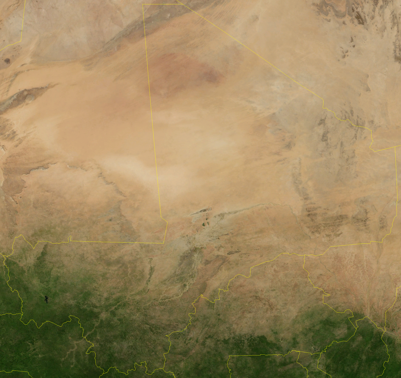
Satellite image of Mali in July 2004.
Screenshot from NASA World Wind, Blue Marble Next-Generation layer.
File history
Click on a date/time to view the file as it appeared at that time.
| Date/Time | Thumbnail | Dimensions | User | Comment | |
|---|---|---|---|---|---|
| current | 13:42, 25 April 2006 | | 2,046 × 1,925 (4.05 MB) | Hautala | {{PD-WorldWind}} Satellite image of Mali in July 2004. Screenshot from NASA World Wind, Blue Marble Next-Generation layer. Category:Satellite images of countries |
File usage
The following pages on the English Wikipedia use this file (pages on other projects are not listed):