Size of this preview: 800 × 600 pixels. Other resolutions: 320 × 240 pixels | 640 × 480 pixels | 1,024 × 768 pixels | 1,280 × 960 pixels | 1,600 × 1,200 pixels.
Original file (1,600 × 1,200 pixels, file size: 833 KB, MIME type: image/png)
| This is a file from the Wikimedia Commons. Information from its description page there is shown below. Commons is a freely licensed media file repository. You can help. |
| Description | |
| Date | (UTC) |
| Source | |
| Author |
|
| This is a retouched picture, which means that it has been digitally altered from its original version. Modifications: Dans. The original can be viewed here: SFRYmap.PNG:
|
I, the copyright holder of this work, hereby publish it under the following licenses:
| This file is licensed under the Creative Commons Attribution-Share Alike 3.0 Unported license. | ||
| ||
| This licensing tag was added to this file as part of the GFDL licensing update. |

|
Permission is granted to copy, distribute and/or modify this document under the terms of the GNU Free Documentation License, Version 1.2 or any later version published by the Free Software Foundation; with no Invariant Sections, no Front-Cover Texts, and no Back-Cover Texts. A copy of the license is included in the section entitled GNU Free Documentation License. |
You may select the license of your choice.
Original upload log
This image is a derivative work of the following images:
- File:SFRYmap.PNG licensed with Cc-by-sa-3.0-migrated, GFDL
- 2008-03-14T19:40:17Z Lencer 1600x1200 (856365 Bytes) Add West-Berlin, delete false river Havel/Spree
- 2008-03-14T12:48:44Z Kmusser 1600x1200 (584788 Bytes) corrected internal German boundary
- 2007-08-18T20:24:42Z B1mbo 1600x1200 (543445 Bytes) Removed Soviet borders
- 2007-01-16T22:19:26Z Bože pravde 1600x1200 (589834 Bytes) newer version
- 2006-12-12T04:04:05Z Bože pravde 800x600 (216968 Bytes) This is a locator map for [[:en:SFRY]]. This map is based off of [[User:David Liuzzo|David Liuzzo]]'s locator map. As that map is under the GFDL, this map is too. ==Licensing== {{GFDL}} [[Category:Locator maps for countrie
Uploaded with derivativeFX
File history
Click on a date/time to view the file as it appeared at that time.
| Date/Time | Thumbnail | Dimensions | User | Comment | |
|---|---|---|---|---|---|
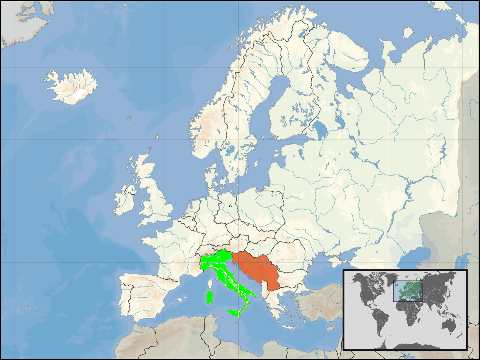
| current | 02:26, 15 January 2011 | | 1,600 × 1,200 (833 KB) | Dans | {{Information |Description={{en|locator map for SFRY and Italy}} {{de|Lage des früheren Jugoslawiens und Italien}} |Source=*File:SFRYmap.PNG |Date=2011-01-15 02:26 (UTC) | |
File usage
The following pages on the English Wikipedia use this file (pages on other projects are not listed):
Global file usage
The following other wikis use this file:
- Usage on fa.wikipedia.org
- Usage on id.wikipedia.org
- Usage on it.wikipedia.org
- Usage on pt.wikipedia.org