Size of this preview: 800 × 533 pixels. Other resolutions: 320 × 213 pixels | 640 × 427 pixels | 1,024 × 683 pixels | 1,280 × 853 pixels | 2,560 × 1,707 pixels | 5,184 × 3,456 pixels.
Original file (5,184 × 3,456 pixels, file size: 4.87 MB, MIME type: image/jpeg)
| This is a file from the Wikimedia Commons. Information from its description page there is shown below. Commons is a freely licensed media file repository. You can help. |
Summary
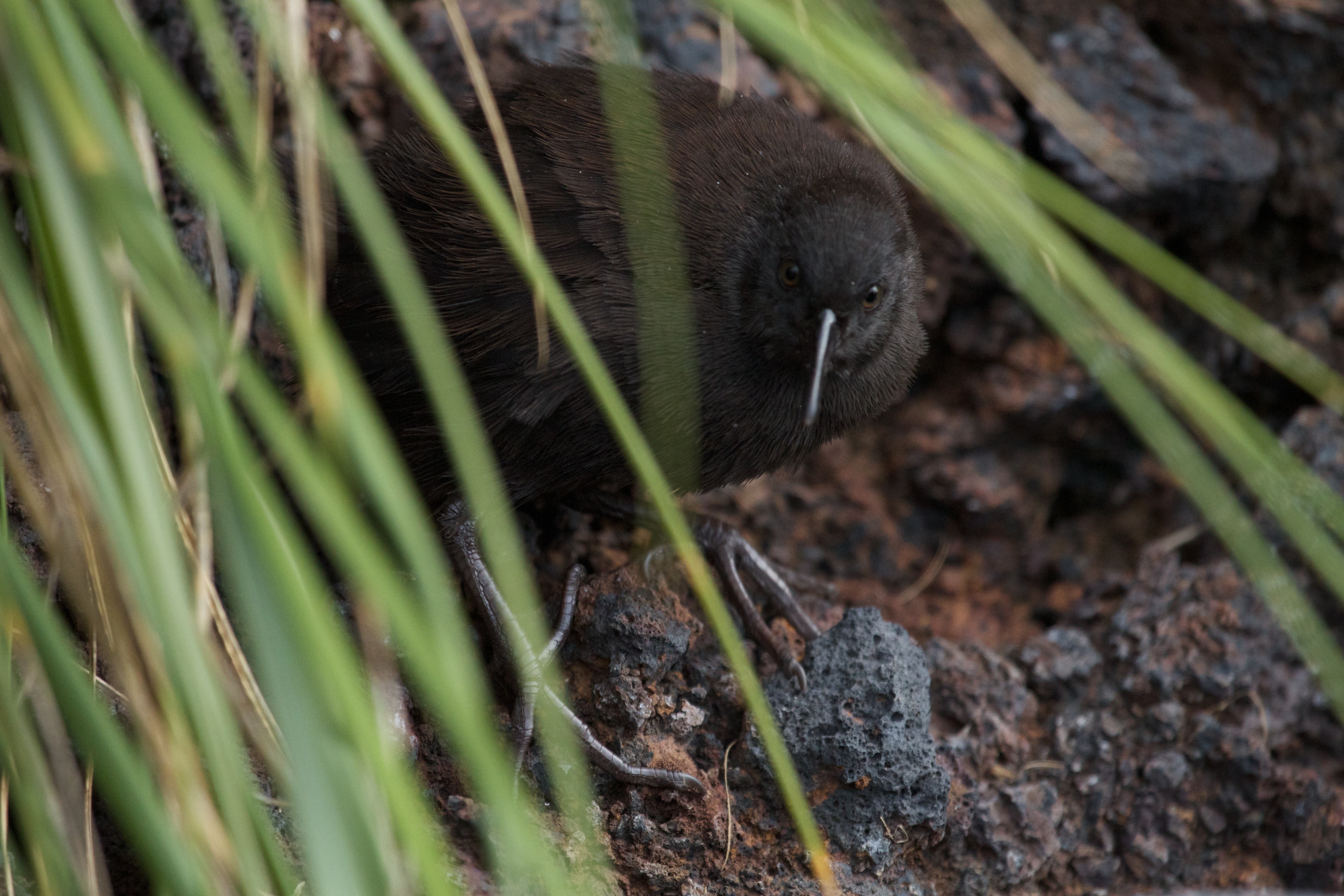
| Description | Inaccessible Island Rail |
| Date | |
| Source | Inaccessible Island Rail |
| Author | Brian Gratwicke from DC, USA |
| Camera location | | View this and other nearby images on: OpenStreetMap |
|---|
Licensing
This file is licensed under the Creative Commons Attribution 2.0 Generic license.
- You are free:
- to share – to copy, distribute and transmit the work
- to remix – to adapt the work
- Under the following conditions:
- attribution – You must give appropriate credit, provide a link to the license, and indicate if changes were made. You may do so in any reasonable manner, but not in any way that suggests the licensor endorses you or your use.
| This image was originally posted to Flickr by brian.gratwicke at https://flickr.com/photos/19731486@N07/6954264628. It was reviewed on 16 March 2017 by FlickreviewR and was confirmed to be licensed under the terms of the cc-by-2.0. |
File history
Click on a date/time to view the file as it appeared at that time.
| Date/Time | Thumbnail | Dimensions | User | Comment | |
|---|---|---|---|---|---|
| current | 04:34, 16 March 2017 | | 5,184 × 3,456 (4.87 MB) | Sabine's Sunbird | {{Information |Description=Inaccessible Island Rail |Source=[https://www.flickr.com/photos/briangratwicke/6954264628/ Inaccessible Island Rail] |Date=2012-03-20 10:49 |Author=[https://www.flickr.com/people/19731486@N07 Brian Gratwicke] from DC, USA |Pe... |
File usage
The following pages on the English Wikipedia use this file (pages on other projects are not listed):
Global file usage
The following other wikis use this file:
- Usage on fr.wikipedia.org
- Usage on he.wikipedia.org
- Usage on pt.wikipedia.org
- Usage on uk.wikipedia.org