
Size of this PNG preview of this SVG file: 600 × 600 pixels. Other resolutions: 240 × 240 pixels | 480 × 480 pixels | 768 × 768 pixels | 1,024 × 1,024 pixels | 2,048 × 2,048 pixels | 678 × 678 pixels.
Original file (SVG file, nominally 678 × 678 pixels, file size: 627 KB)
| This is a file from the Wikimedia Commons. Information from its description page there is shown below. Commons is a freely licensed media file repository. You can help. |
Summary
| Description |
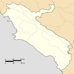
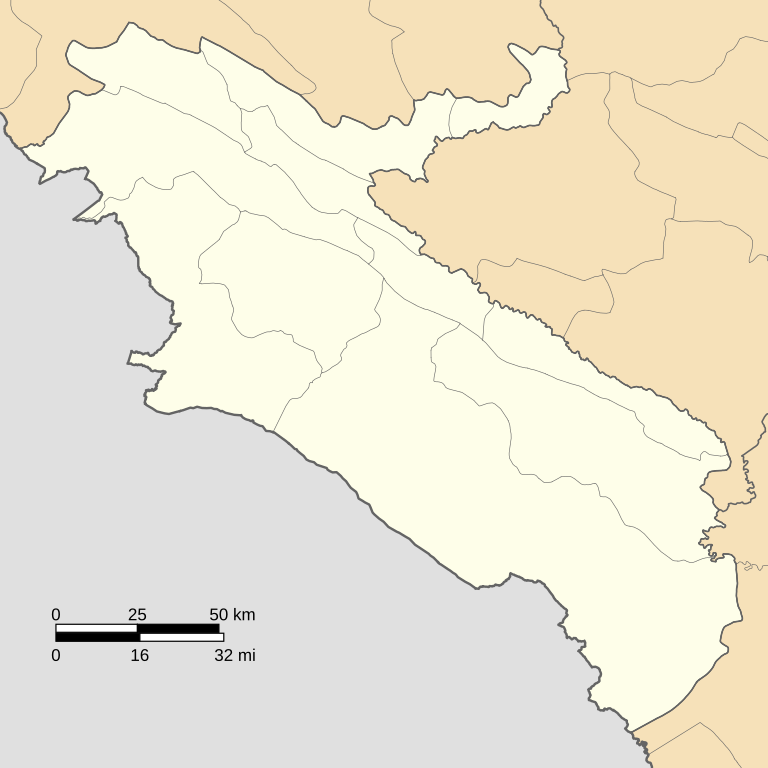
Geographical limits:
|
| Date | |
| Source | Own work using: OpenStreetMap data. |
| Author | Milad2017 |
| Other versions |
Equivalent relief map:
|

Licensing
I, the copyright holder of this work, hereby publish it under the following license:
This file is licensed under the Creative Commons Attribution-Share Alike 4.0 International license.
- You are free:
- to share – to copy, distribute and transmit the work
- to remix – to adapt the work
- Under the following conditions:
- attribution – You must give appropriate credit, provide a link to the license, and indicate if changes were made. You may do so in any reasonable manner, but not in any way that suggests the licensor endorses you or your use.
- share alike – If you remix, transform, or build upon the material, you must distribute your contributions under the same or compatible license as the original.
| This work contains information from OpenStreetMap, which is made available under the Open Database License (ODbL).
The ODbL does not require any particular license for maps produced from ODbL data. Prior to 1 August 2020, map tiles produced by the OpenStreetMap Foundation were licensed under the CC-BY-SA-2.0 license. Maps produced by other people may be subject to other licences. |
File history
Click on a date/time to view the file as it appeared at that time.
| Date/Time | Thumbnail | Dimensions | User | Comment | |
|---|---|---|---|---|---|
| current | 12:34, 29 June 2020 | | 678 × 678 (627 KB) | Milad2017 | Added Holeylan county. Changed projection system to '''UTM Zone 38N, EPSG: 32638''' |
| 08:02, 7 June 2020 |  | 979 × 867 (1.87 MB) | Milad2017 | Reverted to version as of 16:38, 8 July 2019 (UTC) | |
| 10:43, 26 May 2020 |  | 979 × 677 (2.01 MB) | Milad2017 | Reverted to version as of 10:03, 7 July 2019 (UTC) | |
| 16:38, 8 July 2019 |  | 979 × 867 (1.87 MB) | Milad2017 | Updated the coordination system of the map to WGS84/World Mercator. | |
| 10:03, 7 July 2019 |  | 979 × 677 (2.01 MB) | Milad2017 | Map limits rounded for easier use as a location map. | |
| 09:12, 7 July 2019 |  | 979 × 681 (2.01 MB) | Milad2017 | User created page with UploadWizard |
File usage
More than 100 pages use this file. The following list shows the first 100 pages that use this file only. A full list is available.
- Ab Cheshmeh
- Abanar, Ilam
- Abanar Rural District
- Abbasabad, Darreh Shahr
- Abdanan
- Abu Ghoveyr
- Abu Ghoveyr Rural District
- Anaran Rural District
- Anjireh Vatisheh Kand
- Aradan, Ilam
- Aramu, Ilam
- Aramu Rural District
- Arkavaz
- Asemanabad
- Badreh
- Bardi, Iran
- Bareh Bijeh
- Bisheh Deraz
- Central District (Abdanan County)
- Central District (Darreh Shahr County)
- Central District (Dehloran County)
- Central District (Eyvan County)
- Central District (Ilam County)
- Central District (Malekshahi County)
- Central District (Mehran County)
- Chahar Meleh
- Cham Kabud, Abdanan
- Cham Kabud Rural District
- Chavar
- Chavar District
- Cheshmeh Shirin, Ilam
- Dasht-e Abbas
- Dasht-e Abbas Rural District
- Dashtabad-e Olya
- Dehloran
- Delgosha
- Dustan Rural District
- Eyvan
- Gachi District
- Gandab, Ilam
- Godar-e Namak
- Golan, Ilam
- Gurab-e Olya, Dehloran
- Gurab-e Sofla, Dehloran
- Haft Cheshmeh, Abdanan
- Hamgam
- Hendmini Rural District
- Ilam, Iran
- Ilam Airport
- Irajabad, Ilam
- Jaber-e Ansar Rural District
- Jafarabad, Ilam
- Jalizi-ye Bala
- Kalan, Ilam
- Kalan Rural District
- Kalat District (Iran)
- Kapneh Karan
- Kolm-e Bala
- Kulkani Rural District
- Largheh
- Lumar
- Masbi Rural District
- Mazhin, Iran
- Mazhin District
- Mazhin Rural District
- Mehran, Ilam
- Meydan Khalaf
- Meymeh, Ilam
- Murmuri
- Murmuri Rural District
- Musian
- Musian District
- Nabovat Rural District
- Nahr-e Anbar
- Nahr-e Anbar Rural District
- Pahleh
- Rika, Ilam
- Salehabad, Ilam
- Salehabad District (Mehran County)
- Sar Poleh
- Sarab, Ilam
- Sarab Bagh District
- Sarab Bagh Rural District
- Sarab Rural District (Eyvan County)
- Sarabbagh
- Sarableh
- Seyyed Ebrahim Rural District
- Seyyed Nasereddin Rural District
- Shahrak-e Hezarani
- Shahrak-e Vahdat, Ilam
- Shahrak-e Vali-ye Asr, Ilam
- Shahrak-e Vali-ye Asr Sar Tang-e Bahram Khani
- Takhtan
- Towhid
- Vachak Ab
- Zarab, Ilam
- Zarangush
- Zarneh
- Zarneh District
- Zarneh Rural District
View more links to this file.
Global file usage
The following other wikis use this file:
- Usage on fa.wikipedia.org
- Usage on fr.wikipedia.org
- Usage on he.wikipedia.org
- Usage on ku.wikipedia.org
- Usage on ml.wikipedia.org
- Usage on os.wikipedia.org
- Usage on ru.wikipedia.org
- Usage on si.wikipedia.org
- Usage on uz.wikipedia.org