No higher resolution available.
IMG_7431-Sharyn_canyon.jpg (800 × 600 pixels, file size: 147 KB, MIME type: image/jpeg)
| This is a file from the Wikimedia Commons. Information from its description page there is shown below. Commons is a freely licensed media file repository. You can help. |
| This image appeared on Wikipedia's Main Page in the Did you know? column on 22 January 2016 (see archives). |
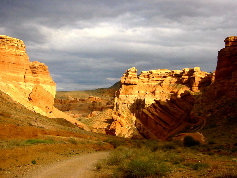
Summary
ru: Каньон реки Шарын (Чарын)(левый приток Или). Алматинская область Казахстана.
| Camera location | | View this and other nearby images on: OpenStreetMap |
|---|
| Description | Sharyn river canyon in Kazakhstan |
| Source | http://www.satkauskas.com |
| Author | Jonas Satkauskas |
| Permission (Reusing this file) |
Copie autorisée avec mention du nom de l'auteur |
Licensing
I, the copyright holder of this work, hereby publish it under the following license:

|
The copyright holder of this file allows anyone to use it for any purpose, provided that the copyright holder is properly attributed. Redistribution, derivative work, commercial use, and all other use is permitted. |
|
|
File history
Click on a date/time to view the file as it appeared at that time.
| Date/Time | Thumbnail | Dimensions | User | Comment | |
|---|---|---|---|---|---|
| current | 04:24, 28 July 2006 | | 800 × 600 (147 KB) | Jsx | {{Information |Description=Sharyn river canyon in Kazakhstan |Source=http://www.satkauskas.com |Date= |Author=Jonas Satkauskas |Permission= |other_versions= }} Category:Kazakhstan |
File usage
The following pages on the English Wikipedia use this file (pages on other projects are not listed):
Global file usage
The following other wikis use this file:
- Usage on af.wikipedia.org
- Usage on ar.wikipedia.org
- Usage on as.wikipedia.org
- Usage on azb.wikipedia.org
- Usage on az.wikipedia.org
- Usage on ba.wikipedia.org
- Usage on bg.wikipedia.org
- Usage on bo.wikipedia.org
- Usage on ceb.wikipedia.org
- Usage on de.wikipedia.org
- Usage on de.wikivoyage.org
- Usage on el.wikipedia.org
- Usage on en.wikivoyage.org
- Usage on es.wikipedia.org
- Usage on et.wikipedia.org
- Usage on fa.wikipedia.org
- Usage on fr.wikipedia.org
- Usage on fr.wikivoyage.org
- Usage on gl.wikipedia.org
- Usage on hi.wikipedia.org
- Usage on hr.wikipedia.org
- Usage on ht.wikipedia.org
- Usage on hy.wikipedia.org
- Usage on id.wikipedia.org
- Usage on incubator.wikimedia.org
- Usage on it.wikipedia.org
- Usage on it.wikivoyage.org
- Usage on ka.wikipedia.org
- Usage on kk.wikipedia.org
View more global usage of this file.