
Size of this PNG preview of this SVG file: 512 × 357 pixels. Other resolutions: 320 × 223 pixels | 640 × 446 pixels | 1,024 × 714 pixels | 1,280 × 893 pixels | 2,560 × 1,785 pixels.
Original file (SVG file, nominally 512 × 357 pixels, file size: 18 KB)
| This is a file from the Wikimedia Commons. Information from its description page there is shown below. Commons is a freely licensed media file repository. You can help. |
Summary
| Description |
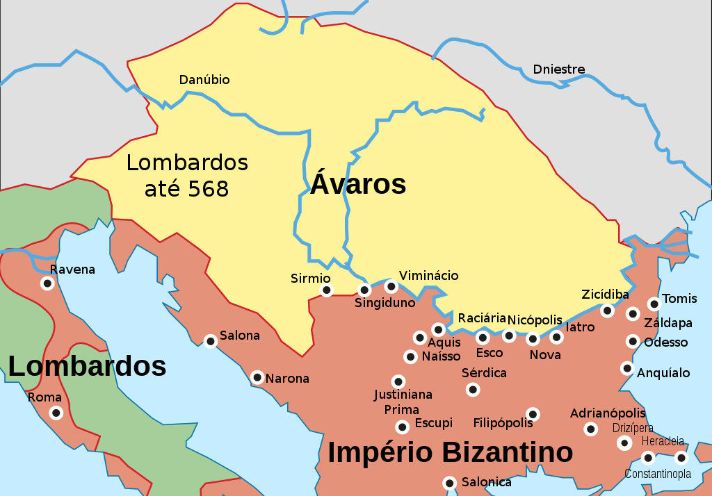
Português: Mapa histórico dos Bálcãs ca. 582-612 |
| Date | |
| Source |
This file was derived from: Historical map of the Balkans around 582-612 AD.jpg:  |
| Author | William Shepherd R. (talk · contribs) |
| Other versions |
[]
|


Licensing
| This file is made available under the Creative Commons CC0 1.0 Universal Public Domain Dedication. | |
| The person who associated a work with this deed has dedicated the work to the public domain by waiving all of their rights to the work worldwide under copyright law, including all related and neighboring rights, to the extent allowed by law. You can copy, modify, distribute and perform the work, even for commercial purposes, all without asking permission.
|
File history
Click on a date/time to view the file as it appeared at that time.
| Date/Time | Thumbnail | Dimensions | User | Comment | |
|---|---|---|---|---|---|
| current | 22:20, 30 July 2016 | | 512 × 357 (18 KB) | Renato de Carvalho Ferreira | Ajustes gerais |
| 08:15, 30 July 2016 |  | 512 × 357 (15 KB) | Renato de Carvalho Ferreira | Ajustes gerais | |
| 02:35, 9 January 2015 |  | 512 × 360 (16 KB) | Renato de Carvalho Ferreira | Ajustes nas fronteiras bizantinas na Itália | |
| 02:47, 19 December 2014 |  | 512 × 369 (16 KB) | Renato de Carvalho Ferreira | Ajustes no fundo e nas bordas | |
| 14:36, 15 December 2014 |  | 512 × 350 (15 KB) | Renato de Carvalho Ferreira | User created page with UploadWizard |
File usage
The following pages on the English Wikipedia use this file (pages on other projects are not listed):
Global file usage
The following other wikis use this file:
- Usage on bs.wikipedia.org
- Usage on nl.wikipedia.org
- Usage on pt.wikipedia.org
- Usage on sh.wikipedia.org