Size of this preview: 750 × 600 pixels. Other resolutions: 300 × 240 pixels | 600 × 480 pixels | 960 × 768 pixels | 1,280 × 1,024 pixels | 1,425 × 1,140 pixels.
Original file (1,425 × 1,140 pixels, file size: 315 KB, MIME type: image/png)
| This is a file from the Wikimedia Commons. Information from its description page there is shown below. Commons is a freely licensed media file repository. You can help. |
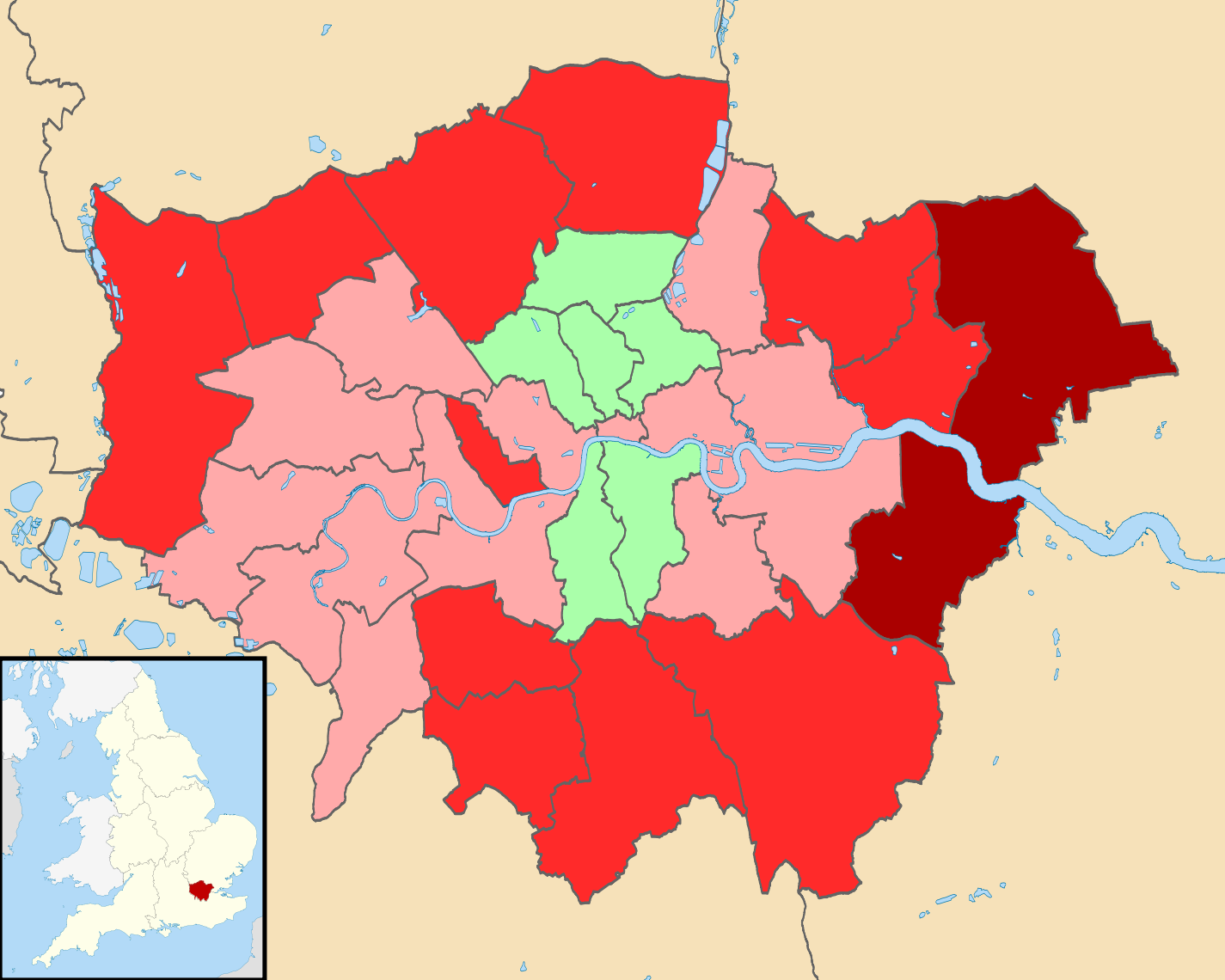
| Description | Map of Greater London, UK with districts shown. Equirectangular map projection on WGS 84 datum, with N/S stretched 160% Geographic limits: *West: 0.57W *East: 0.37E *North: 51.72N *South: 51.25N |
| Date | (UTC) |
| Source | |
| Author |
|
.svg)
| This is a retouched picture, which means that it has been digitally altered from its original version. Modifications: +colors, converted to PNG becasue of upload problems with SVG. The original can be viewed here: Greater London UK district map (blank).svg:
|
I, the copyright holder of this work, hereby publish it under the following license:
This file is licensed under the Creative Commons Attribution-Share Alike 3.0 Unported license.
- You are free:
- to share – to copy, distribute and transmit the work
- to remix – to adapt the work
- Under the following conditions:
- attribution – You must give appropriate credit, provide a link to the license, and indicate if changes were made. You may do so in any reasonable manner, but not in any way that suggests the licensor endorses you or your use.
- share alike – If you remix, transform, or build upon the material, you must distribute your contributions under the same or compatible license as the original.
Original upload log
This image is a derivative work of the following images:
- File:Greater_London_UK_district_map_(blank).svg licensed with Cc-by-sa-3.0
- 2010-08-22T08:09:33Z Nilfanion 1425x1140 (1104179 Bytes) +inset, water colour tweak
- 2010-07-16T23:35:33Z Nilfanion 1425x1140 (738807 Bytes) {{Information |Description=Map of [[w:Greater London|Greater London]], UK with districts shown. Equirectangular map projection on WGS 84 datum, with N/S stretched 160% Geographic limits: *West: 0.57W *East: 0.37E *North: 51
Uploaded with derivativeFX
File history
Click on a date/time to view the file as it appeared at that time.
| Date/Time | Thumbnail | Dimensions | User | Comment | |
|---|---|---|---|---|---|
| current | 22:47, 6 May 2011 | | 1,425 × 1,140 (315 KB) | Jeandré du Toit | {{Information |Description=Map of Greater London, UK with districts shown. Equirectangular map projection on WGS 84 datum, with N/S stretched 160% Geographic limits: *West: 0.57W *East: 0.37E *North: 51.72N *South: 51.25N |Source=*[ |
File usage
The following pages on the English Wikipedia use this file (pages on other projects are not listed):