
Size of this preview: 800 × 464 pixels. Other resolutions: 320 × 186 pixels | 640 × 372 pixels | 1,025 × 595 pixels.
Original file (1,025 × 595 pixels, file size: 11 KB, MIME type: image/png)
| This is a file from the Wikimedia Commons. Information from its description page there is shown below. Commons is a freely licensed media file repository. You can help. |
| Description |
|
||
| Date | |||
| Source | |||
| Author | Created by Rarelibra 16:18, 27 April 2006 (UTC) for public domain use. |

Summary
Licensing
| I, the copyright holder of this work, release this work into the public domain. This applies worldwide. In some countries this may not be legally possible; if so: I grant anyone the right to use this work for any purpose, without any conditions, unless such conditions are required by law. |
File history
Click on a date/time to view the file as it appeared at that time.
| Date/Time | Thumbnail | Dimensions | User | Comment | |
|---|---|---|---|---|---|
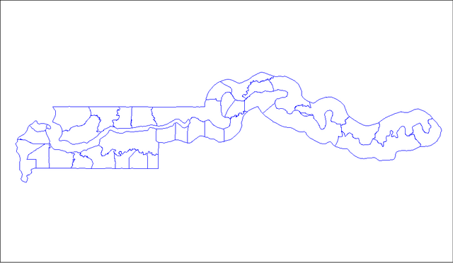
| current | 23:18, 27 November 2006 | | 1,025 × 595 (11 KB) | Electionworld | {{ew|en|Rarelibra}} == Summary == Map of the districts of The Gambia. Created by Rarelibra 16:18, 27 April 2006 (UTC) for public domain use. Created using MapInfo Professional v7.5 and various mapping resources. == Licensing == {{PD-sel |
File usage
The following pages on the English Wikipedia use this file (pages on other projects are not listed):
Global file usage
The following other wikis use this file:
- Usage on la.wikipedia.org
- Usage on nl.wikipedia.org
- Usage on pl.wikipedia.org
- Usage on pt.wikipedia.org