
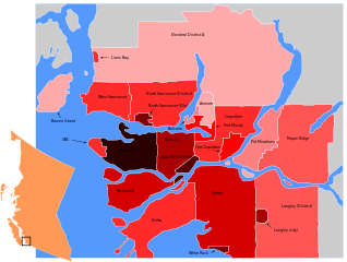
Size of this PNG preview of this SVG file: 795 × 600 pixels. Other resolutions: 318 × 240 pixels | 636 × 480 pixels | 1,018 × 768 pixels | 1,280 × 966 pixels | 2,560 × 1,931 pixels | 953 × 719 pixels.
Original file (SVG file, nominally 953 × 719 pixels, file size: 70 KB)
| This is a file from the Wikimedia Commons. Information from its description page there is shown below. Commons is a freely licensed media file repository. You can help. |
Summary
| Description |
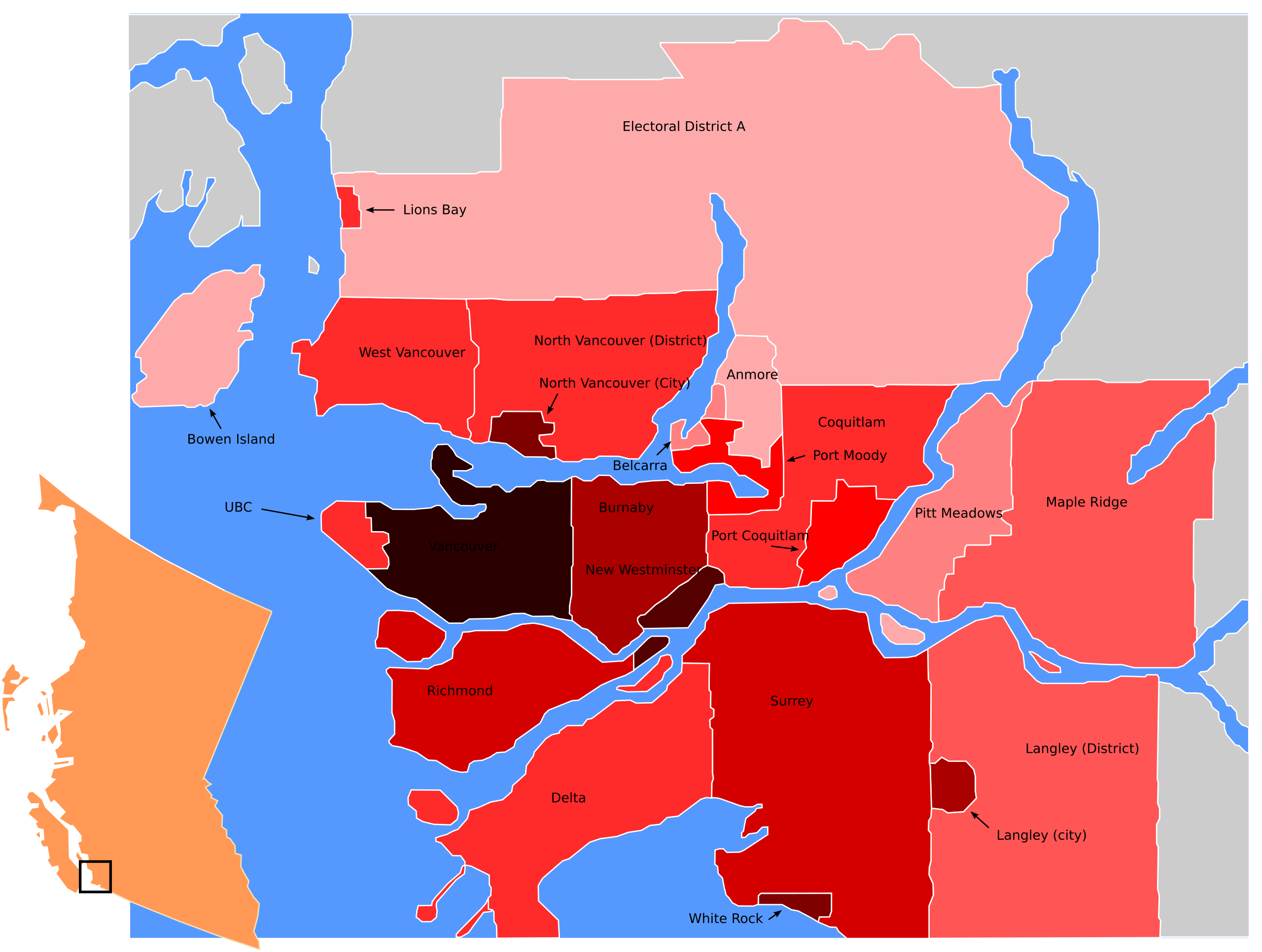
English: A population density map of the districts of Metro Vancouver. All data is from 2007 except UBC and Electoral District A, which are from the 2001 census (couldn't find separate values in new data).
> 5000
4000-5000
3000-4000
2000-3000
1200-2000
800-1200
400-800
200-400
100-200
0-100 This W3C-unspecified vector image was created with Inkscape . |
| Date | |
| Source | Own work |
| Author | TastyCakes on English Wikipedia |
| Other versions |
|

Licensing
I, the copyright holder of this work, hereby publish it under the following license:
This file is licensed under the Creative Commons Attribution 3.0 Unported license.
- You are free:
- to share – to copy, distribute and transmit the work
- to remix – to adapt the work
- Under the following conditions:
- attribution – You must give appropriate credit, provide a link to the license, and indicate if changes were made. You may do so in any reasonable manner, but not in any way that suggests the licensor endorses you or your use.
File history
Click on a date/time to view the file as it appeared at that time.
| Date/Time | Thumbnail | Dimensions | User | Comment | |
|---|---|---|---|---|---|
| current | 22:52, 21 January 2009 | | 953 × 719 (70 KB) | TastyCakes | {{Information |Description={{en|1=A population density map of the districts of [http://en.wikipedia.org/wiki/Metro_Vancouver Metro Vancouver]. <br>Legend: {{legend|#2b0000|> 5000}} {{legend|#550000|4000-5000}} {{legend|#800000|3000-4000}} {{legend|#aa000 |
File usage
The following pages on the English Wikipedia use this file (pages on other projects are not listed):
Global file usage
The following other wikis use this file:
- Usage on es.wikipedia.org
- Usage on fa.wikipedia.org
- Usage on fr.wikipedia.org
- Usage on no.wikipedia.org