
Size of this preview: 800 × 435 pixels. Other resolutions: 320 × 174 pixels | 640 × 348 pixels | 1,358 × 739 pixels.
Original file (1,358 × 739 pixels, file size: 258 KB, MIME type: image/jpeg)
| This is a file from the Wikimedia Commons. Information from its description page there is shown below. Commons is a freely licensed media file repository. You can help. |
Summary
| Description |
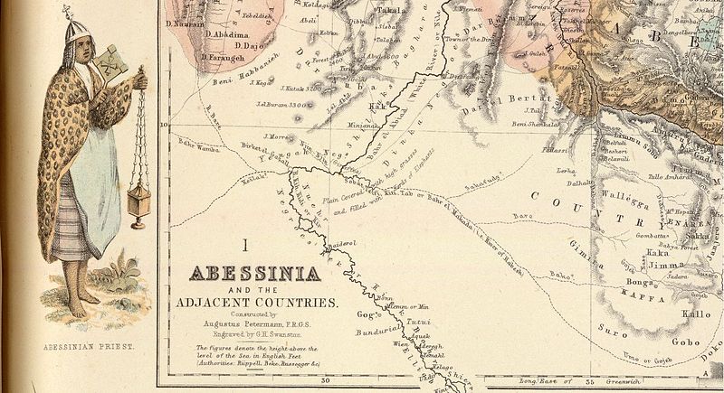
English: Portion of A. Fullarton map "Abessinia and the Adjacent Countries" from the atlas "Royal Illustrated Atlas of Modern Geography" published in Edinburgh 1864-1872 |
| Date | 1860s |
| Source | http://www.davidrumsey.com/luna/servlet/view/search?q=+Pub_List_No%3D%273007.000%27%22%20LIMIT:RUMSEY~8~1&sort=Pub_Date,Pub_List_No_InitialSort |
| Author | Augustus Heinrich Petermann (1822 – 1878), George Heriot Swanston (1814-?) |
Licensing
|
This work is in the public domain in its country of origin and other countries and areas where the copyright term is the author's life plus 100 years or fewer. | |
| This file has been identified as being free of known restrictions under copyright law, including all related and neighboring rights. | |
File history
Click on a date/time to view the file as it appeared at that time.
| Date/Time | Thumbnail | Dimensions | User | Comment | |
|---|---|---|---|---|---|
| current | 10:39, 25 July 2012 | | 1,358 × 739 (258 KB) | Paul venter | {{Information |Description ={{en|1=Portion of A. Fullarton map "Abessinia and the Adjacent Countries" from the atlas "Royal Illustrated Atlas of Modern Geography" published in Edinburgh 1864-1872}} |Source = http://www.davidrumsey.com/luna/... |
File usage
The following pages on the English Wikipedia use this file (pages on other projects are not listed):