
Size of this preview: 800 × 600 pixels. Other resolutions: 320 × 240 pixels | 640 × 480 pixels | 1,024 × 768 pixels | 1,280 × 960 pixels | 2,048 × 1,536 pixels.
Original file (2,048 × 1,536 pixels, file size: 657 KB, MIME type: image/jpeg)
| This is a file from the Wikimedia Commons. Information from its description page there is shown below. Commons is a freely licensed media file repository. You can help. |
Summary
| Description |
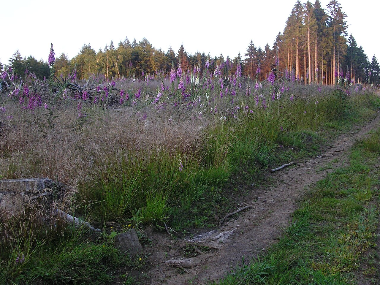
Deutsch: Pfad auf den Kniebrinkgipfel |
| Date | |
| Source | Self-photographed |
| Author | Falk Oberdorf,Osterstr.8, 32312 Lübbecke |
| Permission (Reusing this file) |
(FalkOberdorf 00:28, 23. Jun. 2009 (CEST)) |
| Camera location | | View this and other nearby images on: OpenStreetMap |
|---|
Licensing
| I, the copyright holder of this work, release this work into the public domain. This applies worldwide. In some countries this may not be legally possible; if so: I grant anyone the right to use this work for any purpose, without any conditions, unless such conditions are required by law. |
Original upload log
The original description page was here. All following user names refer to de.wikipedia.
- 2009-06-22 22:28 FalkOberdorf 2048×1536× (672500 bytes) {{Information |Beschreibung = Pfad auf den Kniebrinkgipfel |Quelle = selbst fotografiert |Urheber = Falk Oberdorf,Osterstr.8, 32312 Lübbecke |Datum = 22.06.2009 |Genehmigung = ~~~~ |Andere Versionen = |Anmerkungen = }}
File history
Click on a date/time to view the file as it appeared at that time.
| Date/Time | Thumbnail | Dimensions | User | Comment | |
|---|---|---|---|---|---|
| current | 20:17, 5 October 2009 | | 2,048 × 1,536 (657 KB) | TUBS | {{Information |Description={{de|Pfad auf den Kniebrinkgipfel}} |Source=Transferred from [http://de.wikipedia.org de.wikipedia]<br/> (Original text : ''selbst fotografiert'') |Date=22.06.2009<br/> ({{Date|2009|06|22}} (original upload date)) |Author=Falk O |
File usage
The following pages on the English Wikipedia use this file (pages on other projects are not listed):
Global file usage
The following other wikis use this file:
- Usage on de.wikipedia.org