
Size of this preview: 390 × 599 pixels. Other resolutions: 156 × 240 pixels | 312 × 480 pixels | 805 × 1,237 pixels.
Original file (805 × 1,237 pixels, file size: 55 KB, MIME type: image/gif)
| This is a file from the Wikimedia Commons. Information from its description page there is shown below. Commons is a freely licensed media file repository. You can help. |
Summary
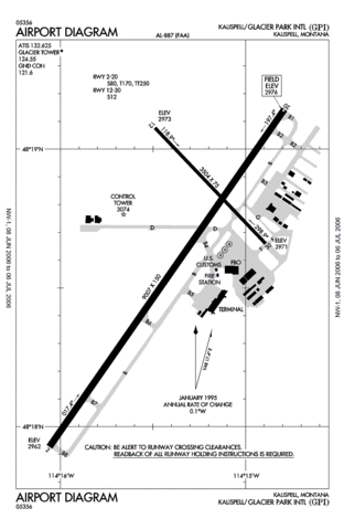
FAA Diagram of Glacier Park International Airport (GPI, formerly FCA) in Montana.
Produced by the National Aeronautical Charting Office (NACO), a department of the Federal Aviation Administration (FAA).
http://naco.faa.gov/d-tpp/0606/00887AD.PDF
Note: this URL changes monthly, for current diagram see: Template:FAA-diagram.
Licensing
This image or file is a work of a Federal Aviation Administration employee, taken or made as part of that person's official duties. As a work of the U.S. federal government, the image is in the public domain in the United States.
|
 |
File history
Click on a date/time to view the file as it appeared at that time.
| Date/Time | Thumbnail | Dimensions | User | Comment | |
|---|---|---|---|---|---|
| current | 03:23, 3 June 2007 | | 805 × 1,237 (55 KB) | Julius Morton | ==Summary== FAA Diagram of Glacier Park International Airport (GPI, formerly FCA) in Montana. Produced by the National Aeronautical Charting Office (NACO), a department of the Federal Aviation Administration (FAA). http://naco.faa.gov/d-tpp/0606 |
File usage
The following pages on the English Wikipedia use this file (pages on other projects are not listed):
Global file usage
The following other wikis use this file:
- Usage on es.wikipedia.org
- Usage on fa.wikipedia.org
- Usage on id.wikipedia.org
- Usage on tg.wikipedia.org
- Usage on ur.wikipedia.org