
Size of this PNG preview of this SVG file: 800 × 520 pixels. Other resolutions: 320 × 208 pixels | 640 × 416 pixels | 1,024 × 666 pixels | 1,280 × 832 pixels | 2,560 × 1,664 pixels.
Original file (SVG file, nominally 800 × 520 pixels, file size: 356 KB)
| This is a file from the Wikimedia Commons. Information from its description page there is shown below. Commons is a freely licensed media file repository. You can help. |
Summary
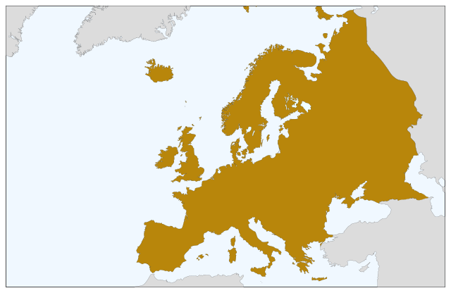
| Description | Blank map of Europe, showing only the continents. SVG format. |
| Date | |
| Source |
This file was derived from: Europe countries.svg:  |
| Author | Júlio Reis |
Licensing
This file is licensed under the Creative Commons Attribution-Share Alike 3.0 Unported license.
- You are free:
- to share – to copy, distribute and transmit the work
- to remix – to adapt the work
- Under the following conditions:
- attribution – You must give appropriate credit, provide a link to the license, and indicate if changes were made. You may do so in any reasonable manner, but not in any way that suggests the licensor endorses you or your use.
- share alike – If you remix, transform, or build upon the material, you must distribute your contributions under the same or compatible license as the original.
File history
Click on a date/time to view the file as it appeared at that time.
| Date/Time | Thumbnail | Dimensions | User | Comment | |
|---|---|---|---|---|---|
| current | 08:04, 5 September 2022 | | 800 × 520 (356 KB) | Рагин1987 | Correction |
| 19:35, 30 August 2022 |  | 2,560 × 1,664 (496 KB) | Рагин1987 | More correct visualization of the dividing line on the territory of the Caucasus Range | |
| 10:50, 23 May 2006 |  | 800 × 520 (305 KB) | Tintazul | {{Tintazul| |Description=Blank map of Europe, showing only the continents. SVG format. |Date=19 May 2006 |Source=Image:Europe countries.svg }} Category:Maps of Europe |
File usage
No pages on the English Wikipedia use this file (pages on other projects are not listed).
Global file usage
The following other wikis use this file:
- Usage on sv.wikipedia.org