Original file (1,232 × 816 pixels, file size: 97 KB, MIME type: image/jpeg)
| This is a file from the Wikimedia Commons. Information from its description page there is shown below. Commons is a freely licensed media file repository. You can help. |
From English Wikipedia,

|
Permission is granted to copy, distribute and/or modify this document under the terms of the GNU Free Documentation License, Version 1.2 or any later version published by the Free Software Foundation; with no Invariant Sections, no Front-Cover Texts, and no Back-Cover Texts. A copy of the license is included in the section entitled GNU Free Documentation License. |
| This file is licensed under the Creative Commons Attribution-Share Alike 3.0 Unported license. | ||
| ||
| This licensing tag was added to this file as part of the GFDL licensing update. |
Original description:
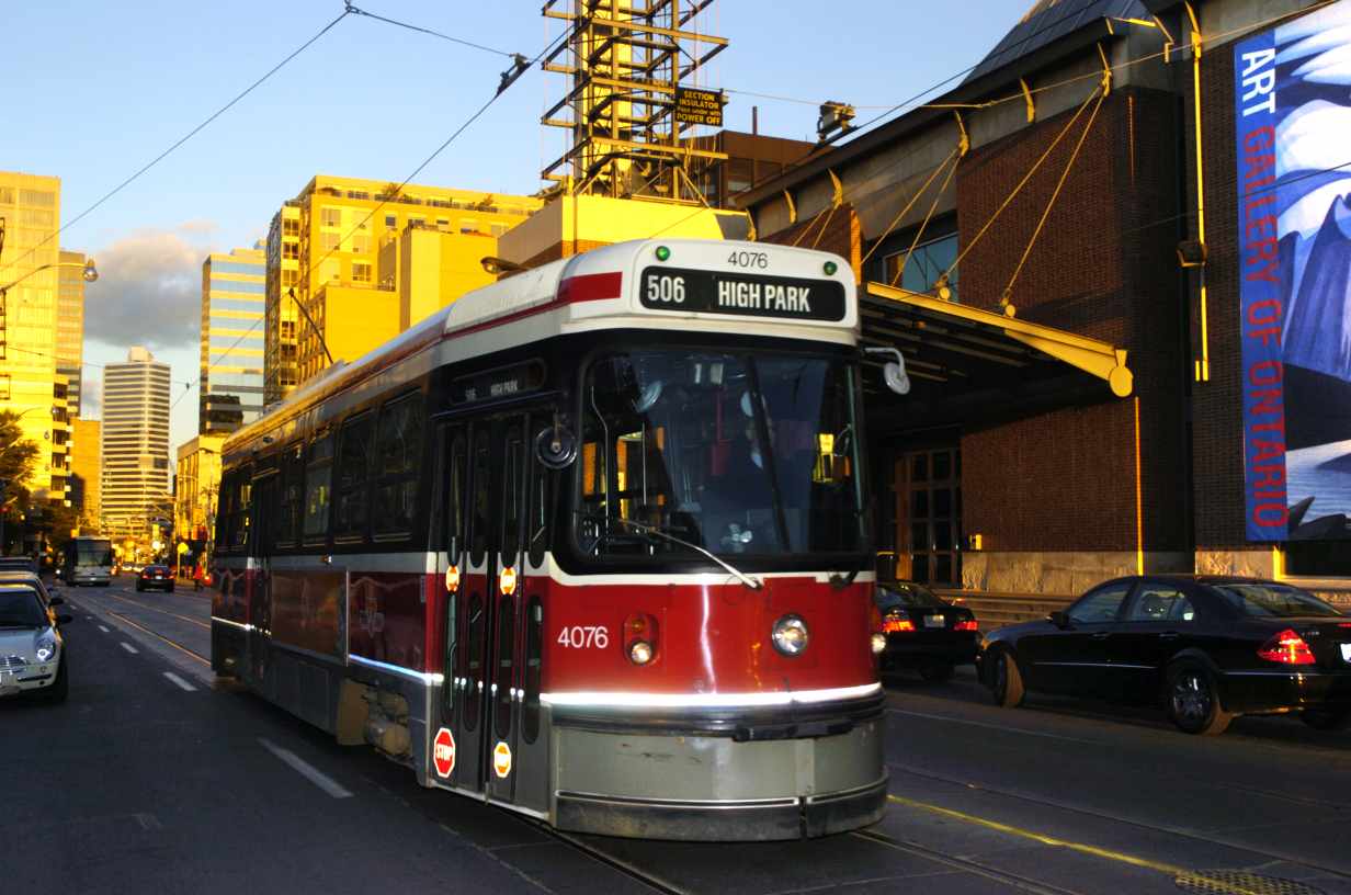
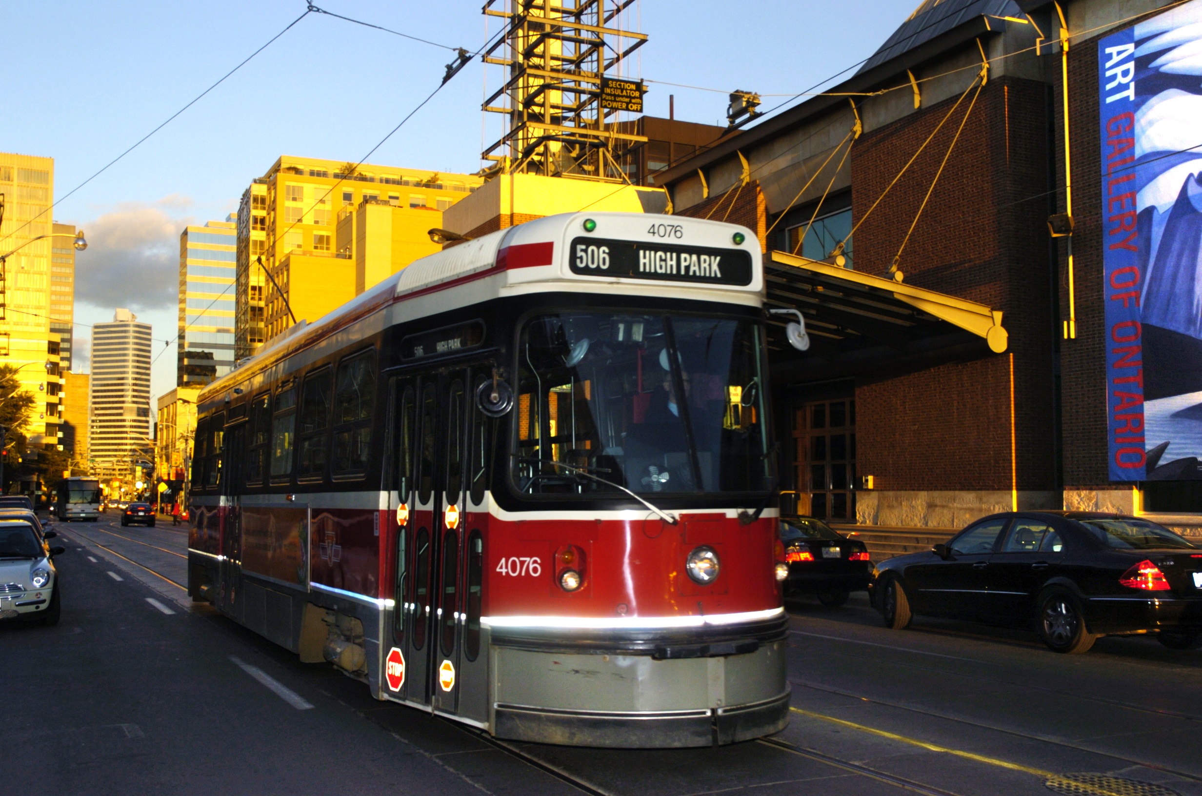
The CLRV streetcar, used by most TTC routes, is seen here in downtown Toronto.
Dundas streetcar with Art Gallery of Ontario (AGO) in background
I captured this picture of the Dundas Street streetcar, just a couple of minutes before the sun set (6:20pm), at a time of year when the sun shines nicely down Dundas Street (2004 October 10th).
This picture is released under the Shared Experience License, http://eyetap.org/sel.txt archive copy at the Wayback Machine
Copyright (c) 2004, Steve Mann.
Permission is granted to copy, distribute and/or modify this experience
under the terms of the ePi Lab Shared Experience License, Version 1.0
or any later version published by the EyeTap Personal Imaging Laboratory.
In compliance with the Terms of the above license, the full resolution version of the Personal Experience capture is hereby provided by reference (URL) as wearcam.org/dundas-square/2004oct10/d382p.jpg.
This photo was originally uploaded to English Wikipedia by Glogger
| Camera location | | View this and other nearby images on: OpenStreetMap |
|---|
File history
Click on a date/time to view the file as it appeared at that time.
| Date/Time | Thumbnail | Dimensions | User | Comment | |
|---|---|---|---|---|---|
| current | 11:16, 14 July 2005 | | 1,232 × 816 (97 KB) | Kneiphof | From English Wikipedia, {{GFDL}} |
File usage
Global file usage
The following other wikis use this file:
- Usage on af.wikipedia.org
- Usage on de.wikipedia.org
- Usage on es.wikipedia.org
- Usage on fr.wikipedia.org
- Usage on pt.wikipedia.org
- Usage on zh-min-nan.wikipedia.org