
Size of this PNG preview of this SVG file: 800 × 429 pixels. Other resolutions: 320 × 172 pixels | 640 × 343 pixels | 1,024 × 549 pixels | 1,280 × 687 pixels | 2,560 × 1,373 pixels | 1,866 × 1,001 pixels.
Original file (SVG file, nominally 1,866 × 1,001 pixels, file size: 1.11 MB)
| This is a file from the Wikimedia Commons. Information from its description page there is shown below. Commons is a freely licensed media file repository. You can help. |
Summary
| Description |
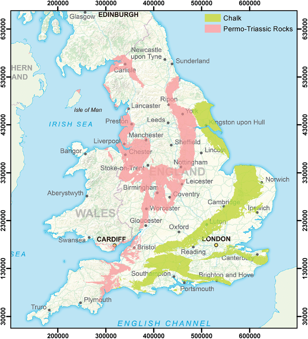
English: Downland in southern England
|
|||
| Date | ||||
| Source |
Own work based on: Information from:
|
|||
| Author | Goran_tek-en | |||
| Permission (Reusing this file) |
This file is licensed under the Creative Commons Attribution-Share Alike 4.0 International license. Attribution: Goran_tek-en
|
|||
| SVG development | This vector image was created with Inkscape. |

| Object location | | View this and other nearby images on: OpenStreetMap |
|---|

File history
Click on a date/time to view the file as it appeared at that time.
| Date/Time | Thumbnail | Dimensions | User | Comment | |
|---|---|---|---|---|---|
| current | 16:17, 27 February 2023 | | 1,866 × 1,001 (1.11 MB) | Goran tek-en | {{Information |description ={{en|Downland in southern England}} {{Institution |wikidata=Q1253315}} |date =2023-02-27 |source ={{Own based|Maps template-en.svg|BlankMap-World gray.svg|b1=Sting|b2=LivingShadow}} {{Own}} *[https://www.openstreetmap.org/#map=8/51.074/-2.406 OpenStreetMap] *[https://maps-for-free.com/ maps-for-free.com] *[https://en-gb.topographic-map.com/map-kb57/England/ en-gb.topographic-map.com] Information from: *[https://pubs.rsc.org/image/articl... |
File usage
The following pages on the English Wikipedia use this file (pages on other projects are not listed):