
Size of this preview: 800 × 306 pixels. Other resolutions: 320 × 123 pixels | 1,068 × 409 pixels.
Original file (1,068 × 409 pixels, file size: 109 KB, MIME type: image/png)
| This is a file from the Wikimedia Commons. Information from its description page there is shown below. Commons is a freely licensed media file repository. You can help. |
Summary
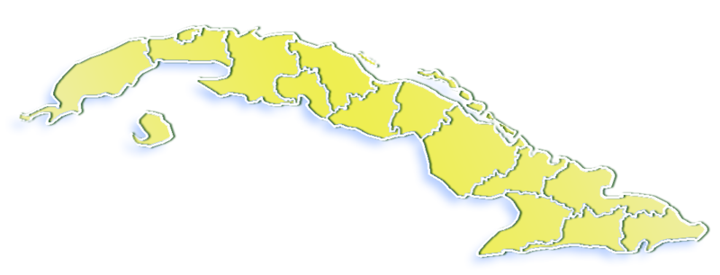
| Description | Provinces of Cuba, 1976-2010 |
| Date | |
| Source | GIS data |
| Author | Qyd (talk · contribs) |
| Permission (Reusing this file) |
All |
Licensing
| I, the copyright holder of this work, release this work into the public domain. This applies worldwide. In some countries this may not be legally possible; if so: I grant anyone the right to use this work for any purpose, without any conditions, unless such conditions are required by law. |
File history
Click on a date/time to view the file as it appeared at that time.
| Date/Time | Thumbnail | Dimensions | User | Comment | |
|---|---|---|---|---|---|
| current | 17:22, 13 December 2007 | 1,068 × 409 (109 KB) | Mahahahaneapneap | pngcrushed | |
| 02:15, 3 January 2007 | 1,068 × 409 (129 KB) | Qyd | ligt shadow | ||
| 02:14, 3 January 2007 | 1,068 × 409 (134 KB) | Qyd | {{Information |Description=Provinces of Cuba |Source=GIS data |Date=Jan 2006 |Author={{User|Qyd}} |Permission=All |other_versions= }} Category:Maps of Cuba |
File usage
The following pages on the English Wikipedia use this file (pages on other projects are not listed):
Global file usage
The following other wikis use this file: